If you design, build or supply Marine and Bathymetric LiDAR, create a profile to showcase your capabilities and connect with visitors who have an active requirement for your solutions.
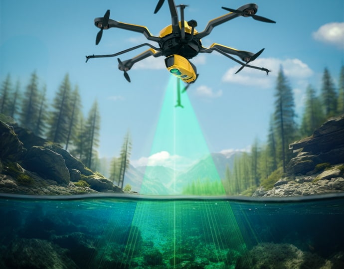
Bathymetric LiDAR for littoral surveillance & coastal mapping
Bathymetric LiDAR for littoral surveillance & coastal mapping
... IHO-compliant LiDARsystems compatible with tactical UAS. In addition, Areté has collaborated with... ...hbroom Imaging LiDAR for Littoral Surveillance) is a Joint ONR NAVAIR-funded SBIR program that...
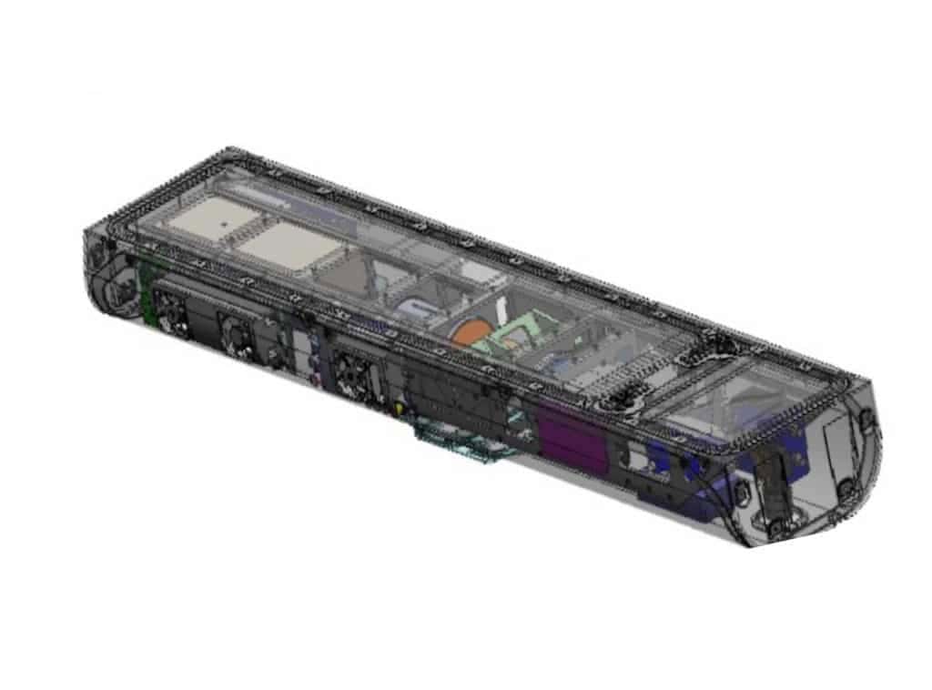
Topo-bathymetric airborne LiDAR system for coastal & river mapping
Topo-bathymetric airborne LiDAR system for coastal & river mapping
...820-G airborne LiDARSystem is a compact 5.7 kg unit designed for UAV-based topo-bathymetric mapping... ...ial navigation system, the all-in package also includes RIEGL’s proprietary software licenses for...
Bathymetric LiDAR sensors, which are used for hydrographic applications to survey coastlines and shallow waters, output laser light using the green wavelength of 532 nm, requiring a higher power which means a lower pulse rate and fewer measurements per second.
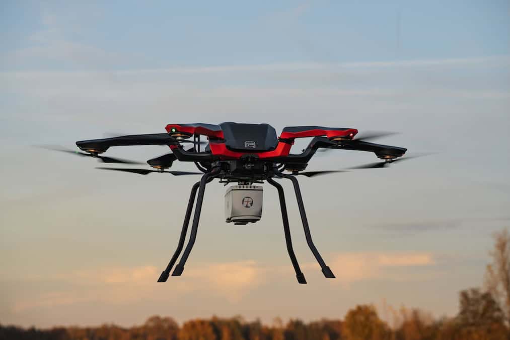
Bathymetric LiDAR drones fly lower than topographical LiDAR UAVs due to the differing laser powers and attenuations in water and air. Bathymetric LiDAR systems are typically heavier and so require heavy-lift multirotor drones to carry them.
UAV LiDAR bathymetry is used in coastal surveys to characterize the land and seafloor, for environmental monitoring and coastal reef mapping, to gather data for flood simulations, and in a wide variety of other applications.
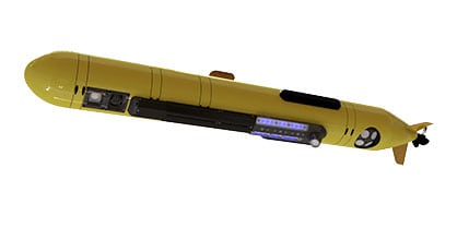
Subsea LiDAR for AUVs & ROVs
CZMIL SuperNova Bathymetric LiDAR by Teledyne Geospatial
Underwater LiDAR scanners can also be installed on AUVs (autonomous underwater vehicles) and ROVs (remotely operated vehicles). LiDAR payloads may be installed into AUVs via custom integrations, and pre-integrated skids are available that can be easily installed into ROVs.
Although LiDAR cannot travel as far underwater as sonar beams, it can provide a greater resolution than sonar-based scanning. The two technologies may be used in conjunction, with multibeam sonar being used to detect potential targets over wide areas and LiDAR being used to capture detailed 3D data.
Underwater LiDAR Applications
Subsea LiDAR scanners are used for a wide range of surveying applications, such as offshore oil and gas fields, underwater topography and coral reefs. They may also be used for underwater archaeology to scan and reconstruct shipwrecks and underwater ruins.
Underwater LiDAR can also be used to detect hazards such as mines and unexploded ordnance, as well as gas leaks in pipelines and damage to underwater structures.
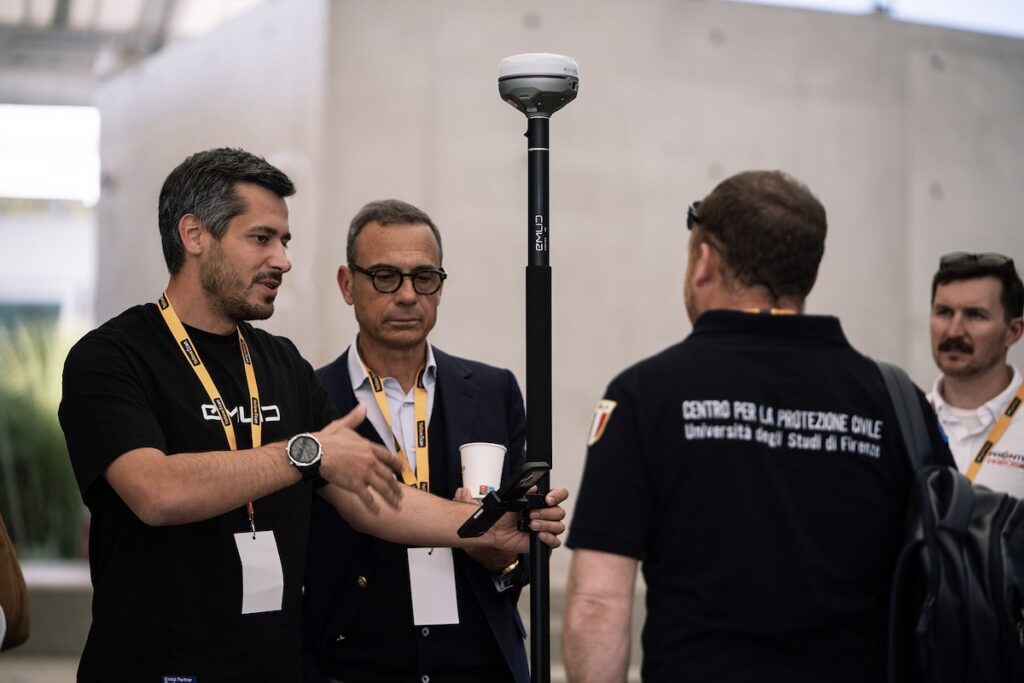
YellowScan recently hosted its sixth LiDAR Convention in Aix-en-Provence, bringing together a global audience of surveyors, engineers, researchers, drone manufacturers, and industry partners
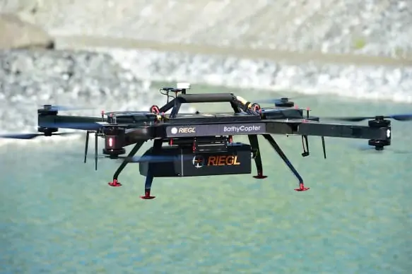
A helicopter-based survey featuring RIEGL VUX-120 and VQ-840-G sensors delivers a seamless topo-bathymetric model for flood protection and hazard planning
Riegl demonstrates how advanced bathymetric LiDAR waveform processing enables accurate river bed mapping in turbulent whitewater mountain river environments
Acecore Technologies has integrated RIEGL’s VUX-820-G topo-bathymetric LiDAR system with its Noa hexacopter, with the sensor featuring integrated RGB imaging and RiLOC-F navigation to support survey, inspection, and mapping applications
YellowScan demonstrated its Navigator Bathymetric LiDAR system at the 5th Grande Exposition du Fabriqué en France, showcasing French-made drone technology for coastal mapping developed with local partners and recognized by French authorities for innovation and industrial excellence
RIEGL unveiled advanced UAV LiDAR solutions at INTERGEO 2025, highlighting precision, compact design, and integrated systems for bathymetry, mapping, and mobile surveying
Following its acquisition by Kraken earlier this year, 3D at Depth's name and brand have been fully integrated to offer a broader range of subsea technology solutions to clients
YellowScan, with Australian distributor Sphere Drones, demonstrated the YellowScan Navigator in real-world coastal conditions, providing rapid, high-resolution mapping of artificial reefs with efficient deployment and safe, practical operation
Kraken Robotics' solutions enable commercial, scientific and military clients to undertake the most challenging underwater survey missions
Aug 14, 2025
Advancing Unmanned Systems Through Strategic Collaboration
UST works with major OEMs to foster collaboration and increase engagement with SMEs, to accelerate innovation and drive unmanned systems capabilities forward.