verifiedThis business has been claimed by RIEGL and verified by UST.Verified companies work with us to ensure we display the most up-to-date and comprehensive product information, articles and other material to help you choose the right solution for your requirements.
Drone LiDAR Sensors & Laser Scanners for Aerial Surveying, Mapping & Bathymetry Austria
RIEGL is a leading developer and manufacturer of state-of-the-art, professional solutions for drone-based LiDAR surveying.
Our powerful LiDAR sensors and laser scanning systems provide reliable, high-quality data for a wide variety of commercial and civil LiDAR surveying applications, including forestry, construction, mining, topography, corridor mapping and hydrographic surveys.
LiDAR Sensors for UAV Surveying & Corridor Mapping
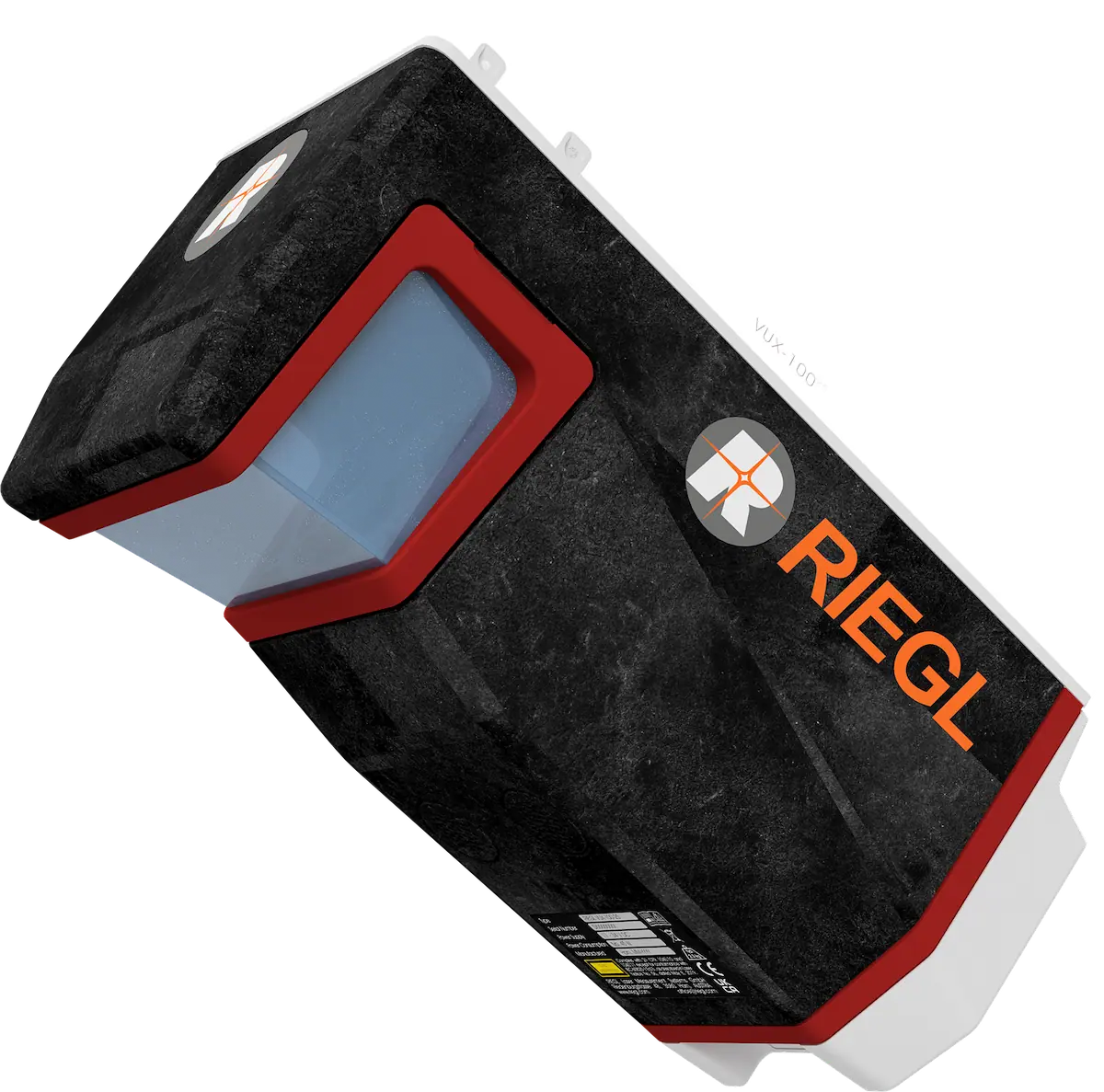
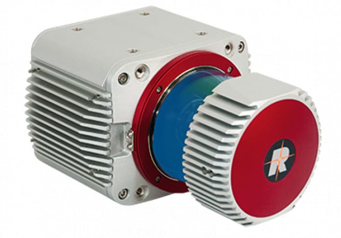
RIEGL VUX-10025
UAV LiDAR sensor with extra large field of view for wide-area coverage
The RIEGL VUX-10025 is a lightweight UAV LiDAR scanner with an extended field of view of 160 degrees, providing extra-wide area coverage for applications such as mapping of complex terrain and narrow canyons. Weighing just 2.2 kg, it can be integrated into a wide range of drone platforms.
The VUX-10025 features a high laser pulse repetition rate of up to 1500 kHz and a scan speed of up to 200 lines per second, making it capable of delivering up to 1.3 million measurements per second. It can be deployed at altitudes of up to 360 meters (1,200 feet).
The scanner is available as standalone UAV LiDAR sensor and also in various fully-integrated UAV-based laser scanning system configurations with optional cameras and an appropriate IMU/GNSS system, like RIEGL’s RiLOC-F high-precision subsystem for localization and orientation. RiLOC-F can be either directly attached to the rear panel of the VUX-10025 or – as RiLOC-F-inside – be fully integrated in the sensor.
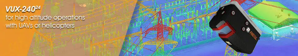
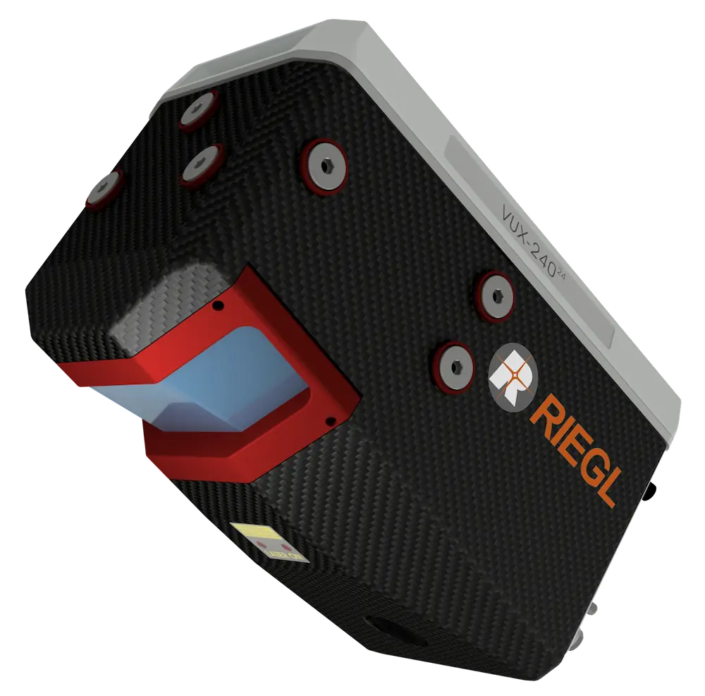
Lightweight Laser Scanner for high altitude operations with UAVs
The RIEGL VUX-24024 is a lightweight airborne laser scanner designed for fixed-wing and multirotor UAVs as well as unmanned helicopters. With scan speeds of up to 600 lines per second, the system can efficiently and accurately cover large areas even from fast-moving UAVs.
A 75-degree field of view and ultra-fast data acquisition rate of up to 2.4 MHz makes the sensor ideally suited for high point density corridor mapping applications.
RIEGL’s state-of-the-art Waveform-LiDAR technology provides echo digitization, online waveform processing, and multi-target capability for penetrating even dense foliage.
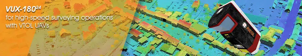
LiDAR scanner for high-speed surveying applications with VTOL UAVs
The RIEGL VUX-18024 is a lightweight UAV LiDAR scanner that provides a 75-degree field of view, pulse repetition rate of up to 2.4 MHz, and scan speed of up to 800 lines/second. Thanks to these impressive features, the airborne laser scanner is ideal for high-speed survey and corridor mapping as well as other applications requiring optimal line and point distribution.
The versatile scanner provides 2 TB of internal data storage as well as a removable CFast card, and provides interfaces for connecting to up to five optional external cameras as well as external GNSS/inertial sensors. It is available as a standalone unit or as part of several fully-integrated UAV-based scanning solutions, including cameras and an appropriate IMU/GNSS system, like RiLOC-F-inside, RIEGL’s high-precision, fully integrated subsystem for localization and orientation.
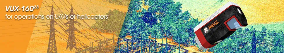
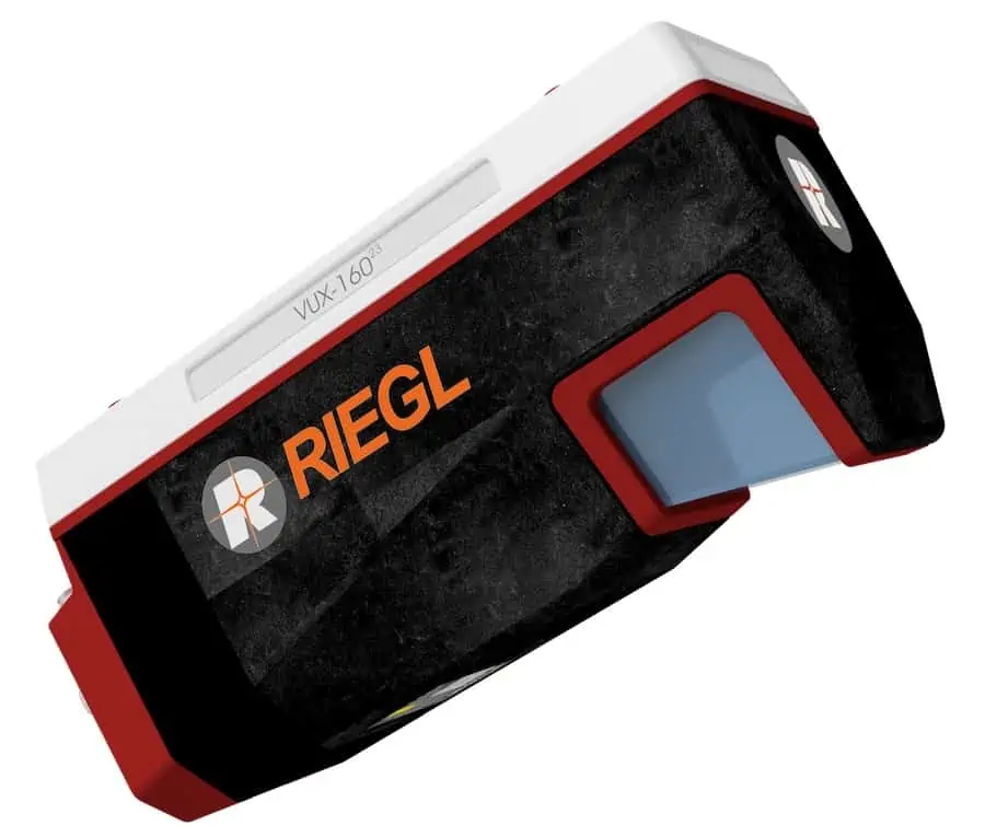
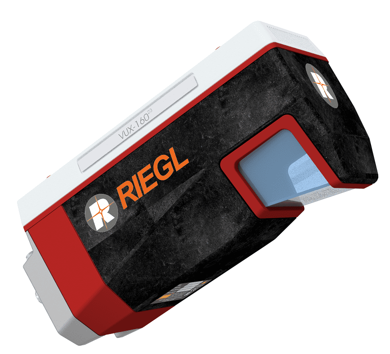
High-point-density laser scanner for operations on UAVs
The RIEGL VUX-160²³ is a versatile UAV LiDAR scanner with a 100-degree field of view and incredibly fast data acquisition rate of up to 2.4 MHz. Delivering up to 400 scan lines and 2 million effective measurements per second on the ground, it is ideal for fixed-wing UAV corridor mapping.
The system’s measuring beam consecutively scans in three different directions – strictly vertical down, +10° forward oblique, and -10° backward oblique – providing data capture with an unrivalled completeness, even in challenging environments with vertical surfaces and narrow canyons. With a multi-target capability of up to 32 targets per pulse, the scanner penetrates even dense vegetation, and comes fully integrated with the RiLOC-F-inside IMU/GNSS solution.
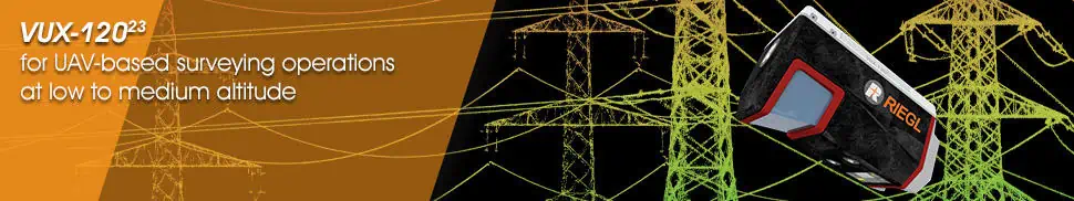
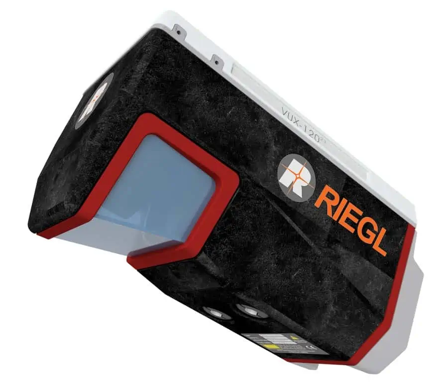
Laser scanner for UAV-based surveying operations at low to medium altitude
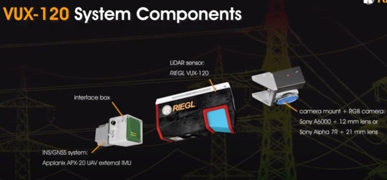
The RIEGL VUX-120²³ is a versatile UAV LiDAR scanner with a 100-degree field of view and incredibly fast data acquisition rate of up to 2.4 MHz. Delivering up to 400 scan lines and 2 million effective measurements per second on the ground, it is ideal for fixed-wing UAV corridor mapping.
The system’s measuring beam consecutively scans in three different directions – strictly vertical down, +10° forward oblique, and -10° backward oblique – providing data capture with an unrivalled completeness, even in challenging environments with vertical surfaces and narrow canyons. With a multi-target capability of up to 32 targets per pulse, the scanner penetrates even dense vegetation, and additionally features the advanced RiLOC-F, RIEGL’s high-precision subsystem for localization and orientation, that can be either directly attached to the rear panel of the VUX-120²³ or – as RiLOC-F-inside – be fully integrated in the sensor.
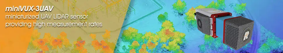
Miniaturized UAV LiDAR sensor providing high measurement rates
The RIEGL miniVUX-3UAV is a compact, lightweight laser scanner designed for the SWaP requirements of UAVs. With a selectable pulse repetition rate of up to 300 kHz, a field of view of up to 360°, and up to 200,000 measurements per second, it provides a high-density point pattern for acquisition of small details.
Unique Waveform-LiDAR technology enables echo digitization and online waveform processing, with multi-target resolution for penetrating even dense foliage. The wavelength of the miniVUX-3UAV has been optimized for the measurement of snowy and icy terrain.
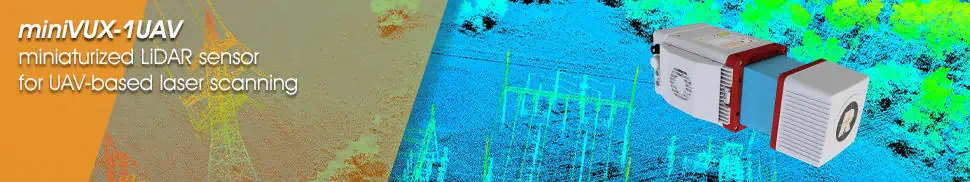
Miniaturized LiDAR sensor for UAV-based laser scanning
The RIEGL miniVUX-1UAV is an extremely lightweight laser scanner specially designed for integration into UAVs. Featuring a robust aluminium housing, the system has a small footprint that makes it ideal for unmanned platforms with restricted layouts or payload capacities.
The sensor is capable of up to 100,000 measurements per second and up to 100 scans per second with a 360-degree field of view. RIEGL’s unique Waveform-LiDAR technology allows echo digitization and online waveform processing, with multi-target resolution for penetrating even dense foliage. The wavelength of the miniVUX-1UAV is also optimized for the measurement of snowy and icy terrain.
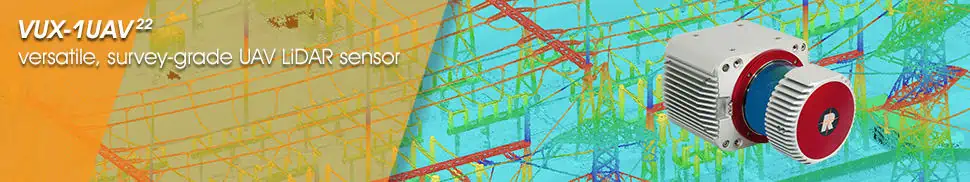
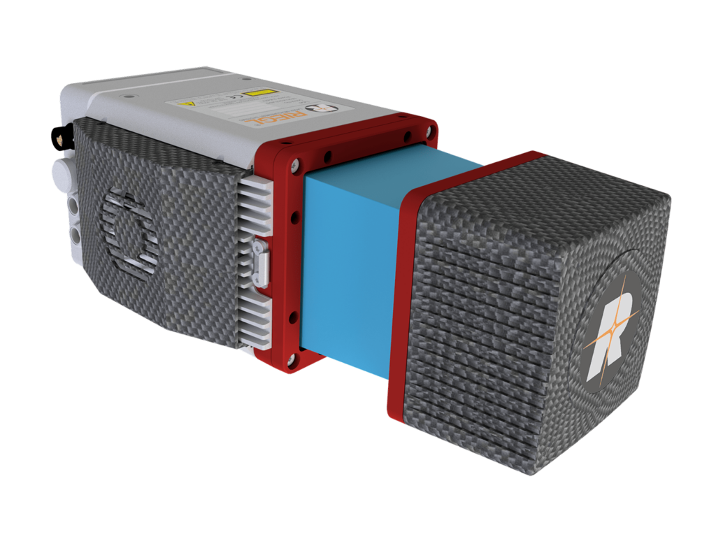
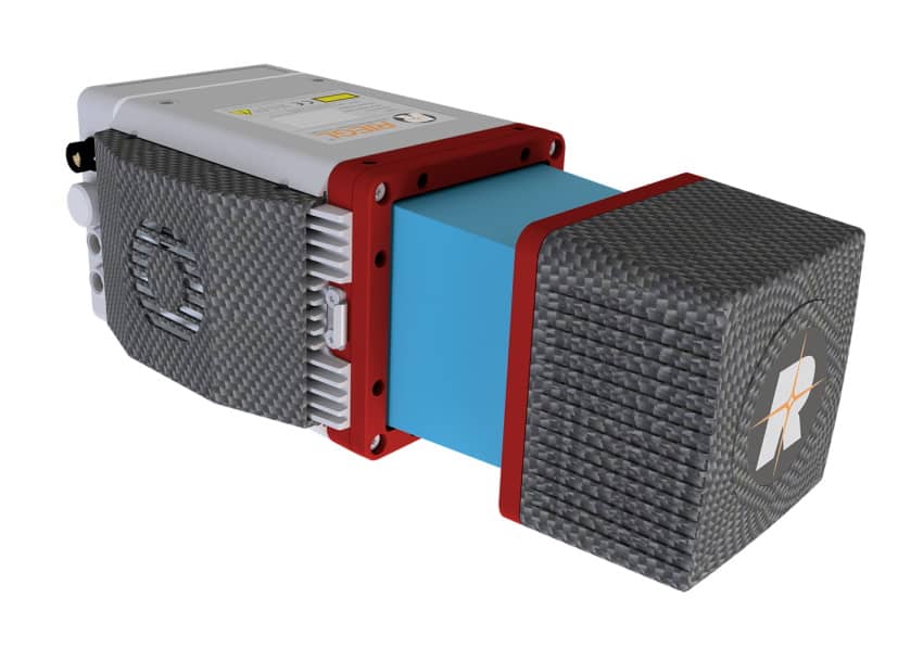
The RIEGL VUX-1UAV22 is a survey-grade LiDAR sensor, with a rugged compact design that allows it to be easily mounted to UAVs in any orientation and even under extensive SWaP constraints.
The measurement rate of up to 1200 kHz and 360-degree field of view provide superior measurement performance and practically unrestricted data acquisition.
In addition to the stand-alone LiDAR sensor, RIEGL provides the RIEGL VUX-SYS, a complete airborne laser scanning system comprising the RIEGL VUX-1UAV22, an appropriate IMU/GNSS unit, a dedicated control unit, and up to four digital cameras. This user-friendly, application- and installation-oriented solution is ready for flexible use in UAS/UAV/RPAS, helicopter, gyrocopter, and ultra-light aircraft.
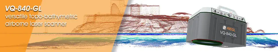
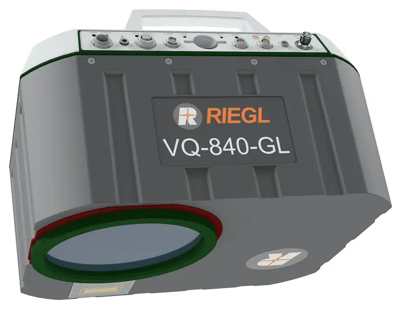
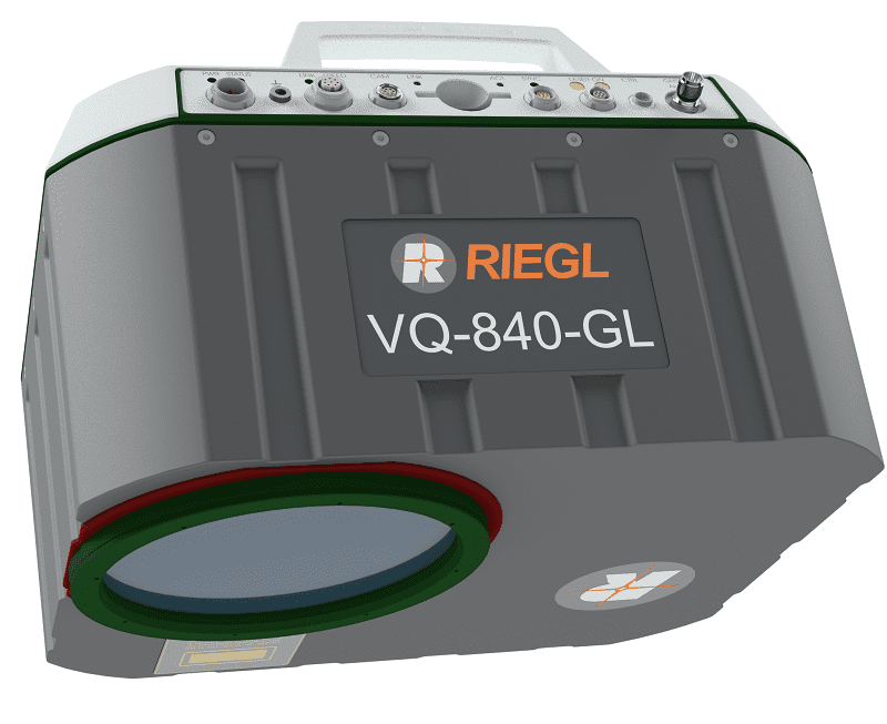
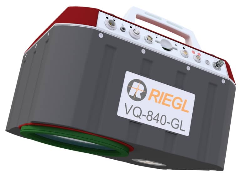
The RIEGL VQ-840-GL is a high-performance laser scanner for combined airborne topographic and bathymetric surveying. Lightweight materials and state-of-the-art design have resulted in a weight of less than 10 kg (22 lbs), making the system ideal for UAV integration.
The scanner uses a visible green laser that can penetrate water, allowing measurement of submerged targets. Digitized echo waveforms can be stored on a removable data storage card for later full waveform analysis, allowing users to capture targets with complex multiple-echo signals. The unit can also be integrated with an inertial navigation sensor and a high-resolution digital camera for further accuracy and functionality.
The RIEGL VQ-840-GL is ideal for a range of applications, including coastline and shallow-water mapping, engineering surveys, and river surveys.
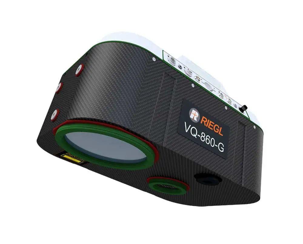
Airborne laser scanner with enhanced depth performance
The RIEGL VQ-860-G airborne laser scanner is designed for high-resolution surveying of inland and near-shore waters, and can penetrate up to 3 Secchi depths at an altitude of 75 metres. The system incorporates a digital RGB camera for colorization, as well as an optional fully-integrated IMU/GNSS.
The compact unit weighs 15kg, making it suitable for larger drone platforms. It has been designed with a rugged mechanical structure and a dust- and splash- proof enclosure for long-term operation in challenging environments.
The RIEGL VQ-860-G is ideal for a wide range of applications including coastline and river mapping, hydraulic engineering survey, and hydroarchaeology.
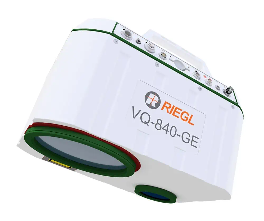
Fully integrated laser scanner for combined topographic & bathymetric survey
The RIEGL VQ-840-GE airborne laser scanner is a lightweight and compact unit designed for UAV-based combined topographic and bathymetric surveying, and can penetrate up to 2 Secchi depths at an altitude of 75 metres. The system utilizes a narrow visible green laser beam for measurement of submerged targets, and can be optionally equipped with a digital RGB camera for colorization, as well as a fully-integrated IMU/GNSS.
The robust unit weighs just 10.3 kg with integrated IMU/GNSS and camera, and has been designed with a rugged mechanical structure and a dust- and splash- proof enclosure for long-term operation in challenging environments.
The RIEGL VQ-840-GE is ideal for a wide range of applications including coastline and shallow-water mapping, reservoir survey, and river hydrology.
Topo-bathymetric airborne LiDAR system for coastal & river mapping
The RIEGL VUX-820-G airborne LiDAR System is a compact 5.4 kg unit designed for UAV-based topo-bathymetric mapping of topography and underwater environments, penetrating water depths up to 2.2 Secchi. The system integrates the RIEGL RiLOC-F-inside inertial navigation module and a RGB camera, capturing synchronized LiDAR and image data for georeferenced mapping outputs.
Besides sensor, camera, and inertial navigation system, the all-in package also includes RIEGL’s proprietary software licenses for generating georeferenced and refraction-corrected point clouds. Extra features like a display and status LEDs enhance interactive handling and operation.
Operating at up to 100 kHz with 50 scans per second, the VUX-820-G delivers dense point clouds for coastline and shallow-water mapping, hydro-engineering, harbor management, and submerged archaeological studies.
RIEGL discusses how its airborne and UAV LiDAR scanning technologies are helping researchers reveal concealed terrain features beneath dense vegetation and identify wartime relics and heritage sites across Hong Kong and Malaysia
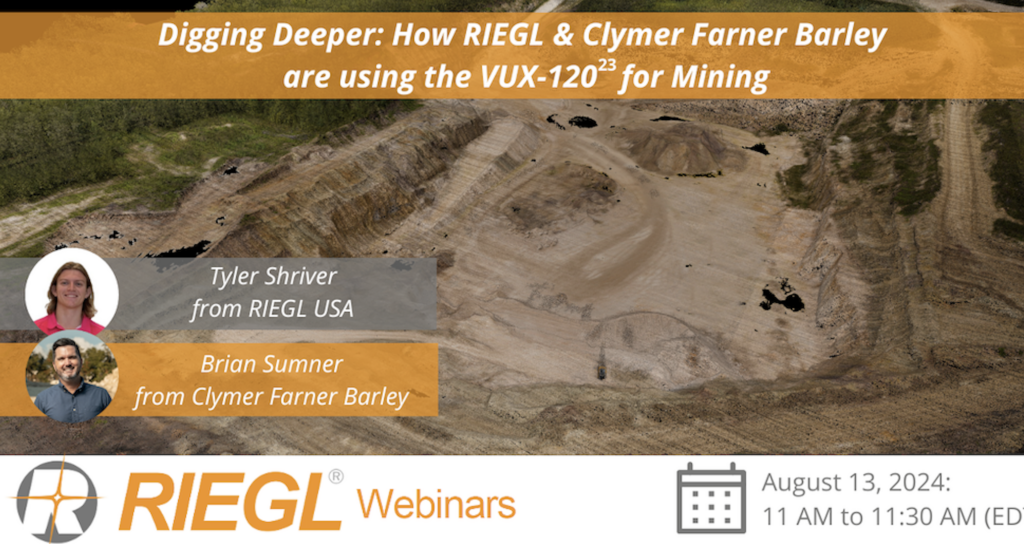
A helicopter-based survey featuring RIEGL VUX-120 and VQ-840-G sensors delivers a seamless topo-bathymetric model for flood protection and hazard planning
Riegl demonstrates how advanced bathymetric LiDAR waveform processing enables accurate river bed mapping in turbulent whitewater mountain river environments
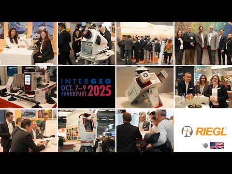
RIEGL unveiled advanced UAV LiDAR solutions at INTERGEO 2025, highlighting precision, compact design, and integrated systems for bathymetry, mapping, and mobile surveying
Plymouth Marine Laboratory is advancing shallow water mapping using RIEGL's UAV-mounted bathymetric LiDAR, enabling high-resolution, low-impact environmental data collection and research
Data has been released highlighting the role RIEGL technology played in the successful release of high-resolution LiDAR data for the Palisades and Eaton Fire burn areas in California
RIEGL is set to exhibit its latest UAV-LiDAR solutions at XPONENTIAL Europe 2025, demonstrating advanced surveying technology and its capabilities for diverse mapping applications
RIEGL has launched the extra large field of view VUX-100-25 UAV LiDAR sensor, the RiLOC-F IMU/GNSS system, and the VQ-1560 III-S dual-channel airborne scanner at INTERGEO 2024
RIEGL’s VUX-1UAV22 UAV LiDAR sensor penetrated the canopy of trees and shrubs with sufficient point density and accuracy to uncover details of the ancient Greek site of Heloros
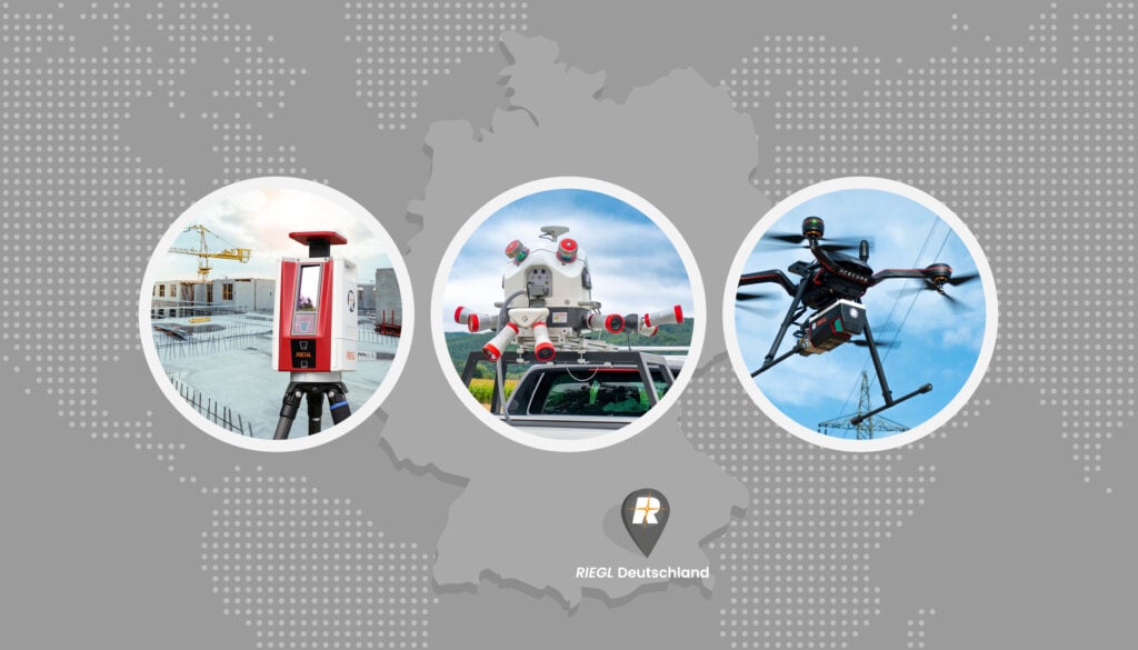
The new RIEGL office, based in Gilching near Munich, will focus primarily on terrestrial and UAV-based laser scanning as well as mobile mapping solutions, offering comprehensive service and support
The latest developments in the RIEGL unmanned laser scanning product portfolio with the VUX-180²⁴, VUX-240²⁴, and miniVUX-Series RiLOC entry-level IMU/GNSS system
Two new Acecore Technologies multicopters are being utilized for customer demonstrations in Europe, making it possible to demonstrate the complete system (UAV platform and RIEGL platform) live
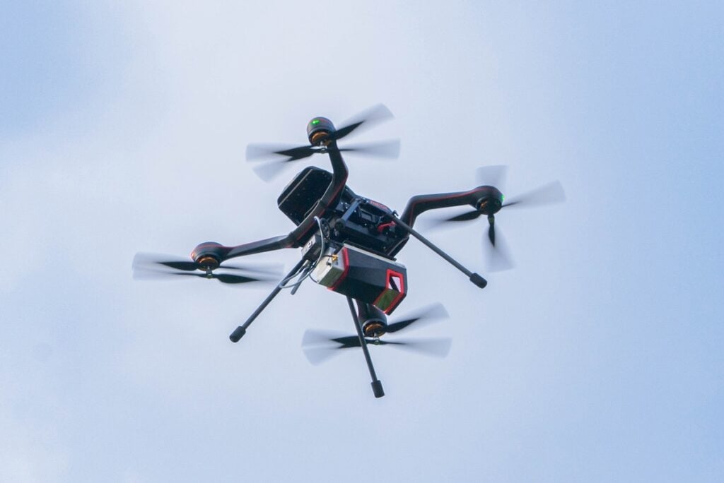
RIEGL and StriekAir engineering GmbH have fused the VUX-120²³ laser scanner with VTOL CarryAir, furthering precise data acquisition during unmanned aerial surveys
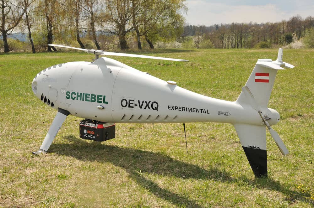
The RIEGL VQ-840-G has been integrated on the Schiebel CAMCOPTER S-100 UAS to create an efficient and secure system for surveying shallow waters, where monitoring from boats becomes a challenge
RIEGL’s miniVUX-SYS, with RIEGL miniVUX-3UAV LiDAR sensor and APX-20 UAV INS/GNSS, has been featured in an article published by GeoConnexion that highlights how...
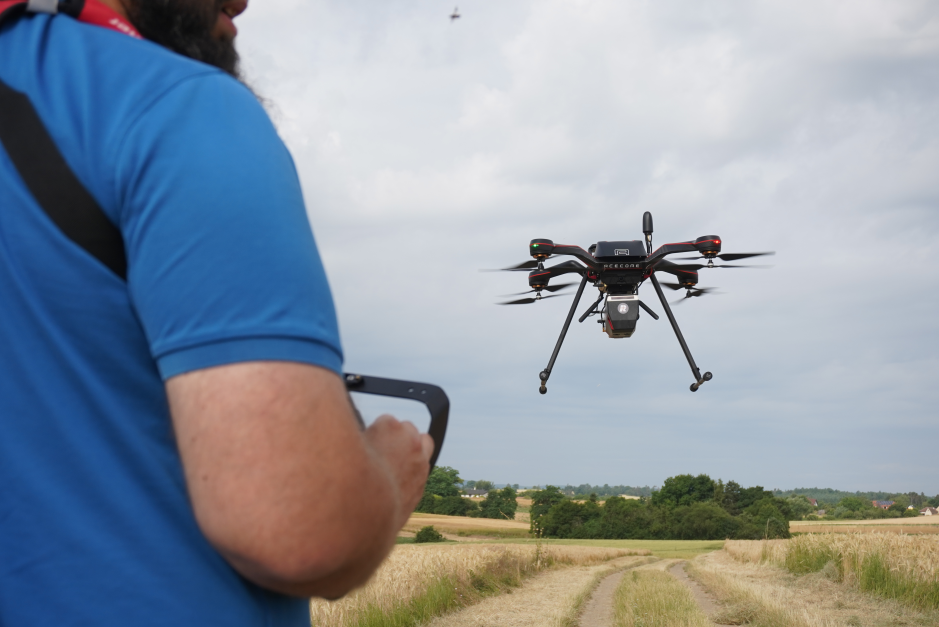
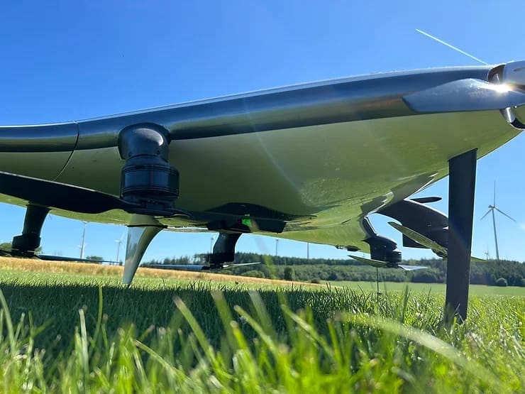
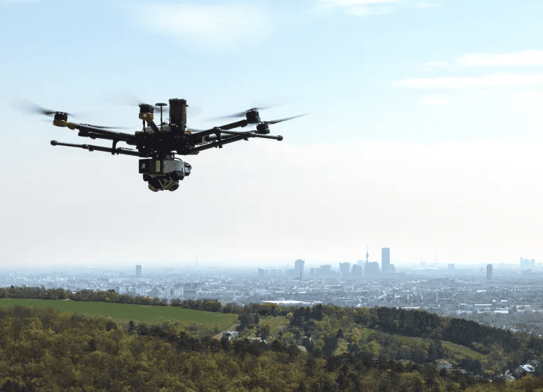
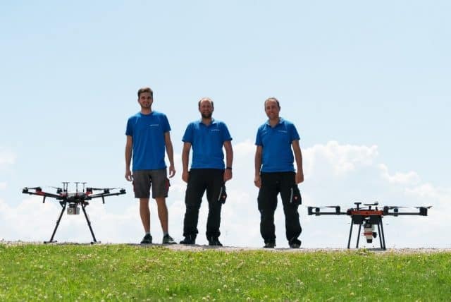
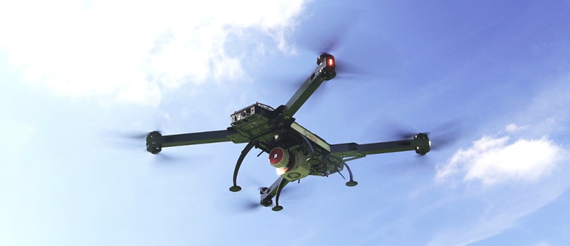
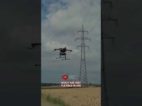
RIEGL’s small, lightweight LiDAR sensors can be easily and quickly mounted on rotary or fixed wing drones, allowing fully autonomous mapping in areas where crewed operations may be too expensive or impractical
RIEGL is a leading developer and manufacturer of state-of-the-art, professional solutions for drone-based LiDAR surveying. Our powerful LiDAR sensors and laser scanning systems provide reliable, high-quality data for a wide variety of commercial and civil LiDAR surveying applications, including forestry, construction, mining, topography, corridor mapping and hydrographic surveys. Jump to Section: LiDAR Sensors for UAV Surveying & Corridor Mapping Laser Scanners for Topo-Bathymetric Applications LiDAR Sensors for UAV Surveying &
Advancing Unmanned Systems Through Strategic Collaboration
UST works with major OEMs to foster collaboration and increase engagement with SMEs, to accelerate innovation and drive unmanned systems capabilities forward.