


RIEGL’s LiDAR scanners have been featured in an article published in GIS Resources Magazine that highlights how the technology is being used for faster and more efficient methods of forestry management and scientific research.
Click here to download the full article
The article covers:
- The advantages of LiDAR scanning for forestry
- Details of RIEGL’s Ultimate Waveform LiDAR technology
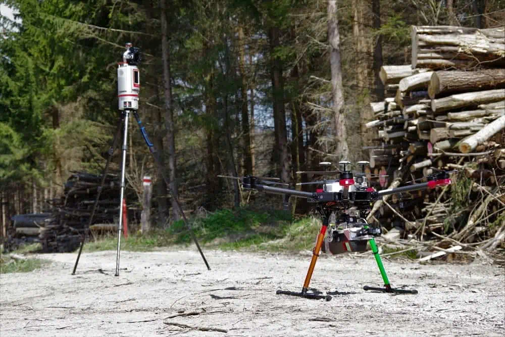
- The differences between aerial and terrestrial LiDAR scanning, and examples of RIEGL products suitable for each
- The advantages of UAV (unmanned aerial vehicle)-based LiDAR scanning
RIEGL’s LiDAR scanning technology provides a high-accuracy, efficient and reliable data capture process for forestry monitoring and management. To find out more, read the full article here.


