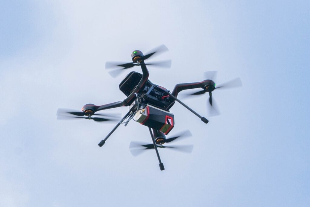
Vermessung Schmid has expanded its high-tech measurement portfolio by integrating the RIEGL VUX-120²³ laser scanner with the DJI Matrice 400 drone platform.
Based in Klosterneuburg, Lower Austria, the established geospatial company is utilizing this combination to achieve higher performance across a wider range of applications. The VUX-120²³ is thought to be among the most advanced LiDAR sensors on the global market due to its high point density and data accuracy. This system enables new possibilities in 3D terrain modeling, forestry, utility mapping, and infrastructure planning, particularly where conventional surveying methods reach their limits.
The sensor utilizes RIEGL’s proprietary RiLOC-F technology, which combines an Inertial Measurement Unit (IMU) and GNSS.

Philipp Amon, ULS Business Division Manager at RIEGL Laser Measurement Systems, commented, “With its exceptional data accuracy and high point density, the VUX-120²³ is among the most advanced LiDAR sensors on the global market. We are particularly proud of RIEGL’s proprietary and innovative RiLOC-F technology – a combination of an inertial measurement unit (IMU) and GNSS, where the use of a nearby local base station during data post-processing ensures maximum accuracy in the georeferencing of highly precise LiDAR data.”
The long range and robust flight platform allow the system to deliver reliable results in complex, forested, or hard-to-access terrain. By putting this technology into productive use, Vermessung Schmid reinforces its position as an innovation leader in the Austrian surveying industry.
Mag. Nikolaus Schiller, Commercial Director at Vermessung Schmid, stated, “Our long-standing partnership with RIEGL is a key driver of our technological progress. We are proud to be among the first companies in Austria to put this new technology into productive use and to provide our customers with even more precise and efficient surveying services.”