


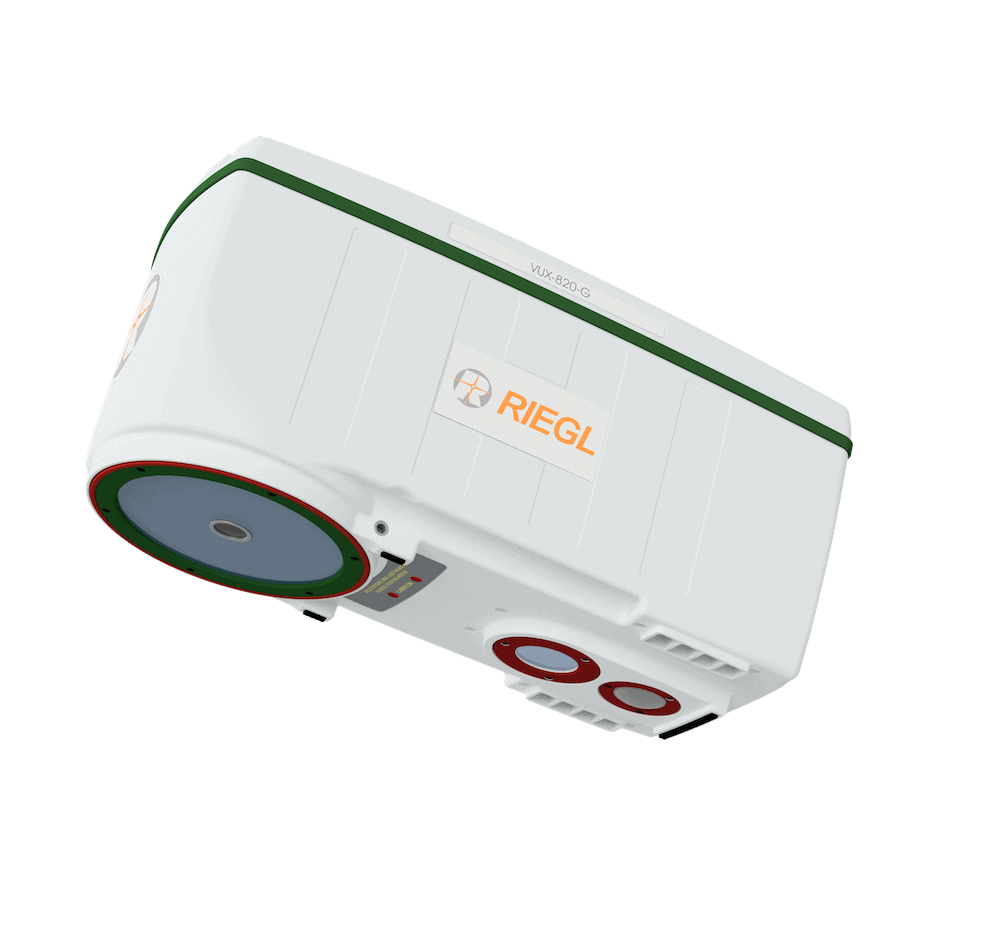
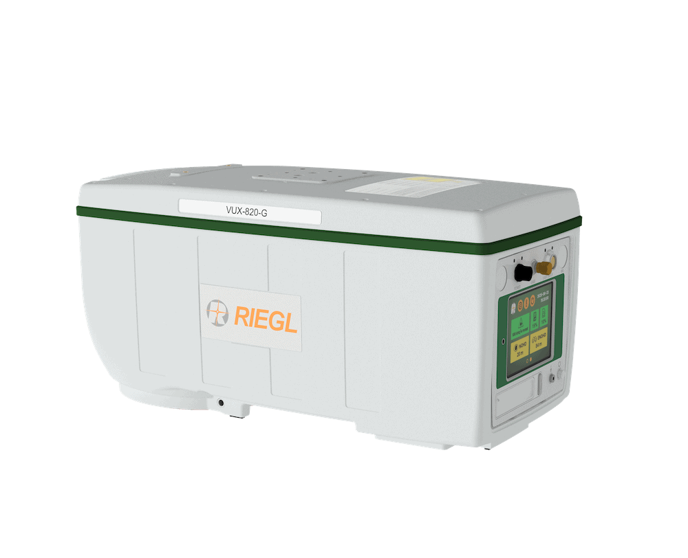
The RIEGL VUX-820-G airborne LiDAR System is a compact 5.7 kg unit designed for UAV-based topo-bathymetric mapping of topography and underwater environments, penetrating water depths up to 2.2 Secchi. The system integrates the RIEGL RiLOC-F-inside inertial navigation module and a RGB camera, capturing synchronized LiDAR and image data for georeferenced mapping outputs.
Besides sensor, camera, and inertial navigation system, the all-in package also includes RIEGL’s proprietary software licenses for generating georeferenced and refraction-corrected point clouds. Extra features like a display and status LEDs enhance interactive handling and operation.
Operating at up to 100 kHz with 50 scans per second, the VUX-820-G delivers dense point clouds for coastline and shallow-water mapping, hydro-engineering, harbor management, and submerged archaeological studies.
Specifications:
| Dimensions (L x W x H): | 368 x 172 x 180 mm |
| Weight: | Approx. 5.4 kg |
| Power Consumption: |
75 W typical 110 W max |
| Laser Pulse Repetition Rate: | 100 kHz max |
| Receiver FOV: | 9 mrad |
| Scan Speed: | 10 - 50 lines/sec selectable |
| Accuracy: | 20 mm |
| Precision: | 15 mm |
| Digital Camera: |
Sensor Resolution 5.1 MP Sensor Dimensions (Diagonal) 8.8 mm (2464 x 2064 px) Focal Length 7.87 mm |


