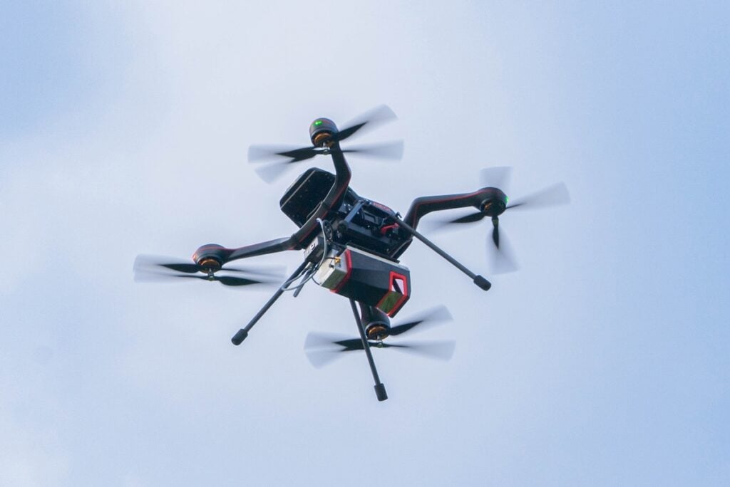
NV5 Geospatial and USGS have released high-resolution LiDAR data of California wildfire burn areas, collected using RIEGL technology, to aid in damage assessment, recovery, and hazard analysis.
This data, collected by NV5 using RIEGL’s VQ-1560 II and Applanix IMU, is now freely available to the public courtesy of the U.S. Geological Survey (USGS) at 2025 Post-Wildfire Lidar Data for Los Angeles, CA.
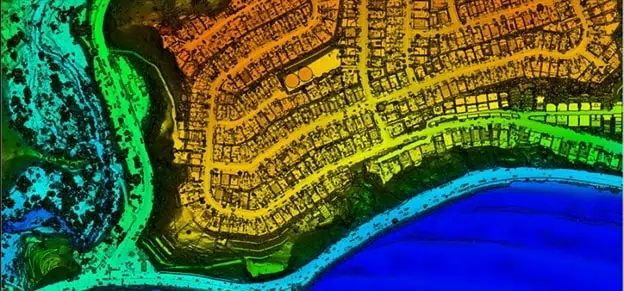
The data includes a 0.5-meter Digital Elevation Model (DEM) and Digital Surface Model (DSM). The LiDAR data acquisition was sponsored by ALERTCalifornia.
The data acquisition took place between January 21 and January 22, 2025, and includes essential information for analyzing the impact of the fires. This data is critical for assessing damage, guiding recovery, and supporting rebuilding efforts. It also helps identify potential hazards such as debris flows and flooding. The burn zones were surveyed at a density of 16 points per square meter and will undergo additional processing to fully comply with USGS 3DEP Lidar Base Specification Standards.
This project highlights the importance of advanced LiDAR technology in supporting recovery and rebuilding efforts after devastating wildfires. By comparing the new data with previous LiDAR collections from 2023 and 2024, researchers can measure changes in terrain, vegetation density, and burn severity. This analysis helps quantify fire damage, identify areas at risk, and guide restoration efforts. Additionally, LiDAR can detect remaining hazards like unstable trees and compromised structures, ensuring safe recovery operations.
RIEGL’s LiDAR technology has played a crucial role in disaster recovery and environmental monitoring. These advancements continue to improve data acquisition and analysis, enhancing disaster recovery and environmental monitoring.