South Tyrolean service provider Alto Drones has utilized RIEGL’s specialized airborne laser scanning systems to generate a seamless terrain model of the Piesting River in Lower Austria.
The survey, commissioned in December 2024 as part of a federally funded hazard zone planning initiative, provides essential data for water management and the deployment of effective flood protection measures. By employing RIEGL technology, the project supports public institutions in their efforts to maintain and enhance safety and resilience through spatial and land-use planning.
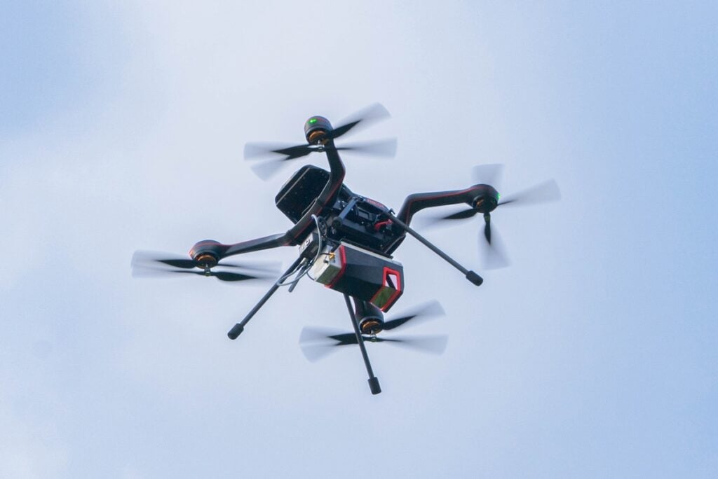
The project utilized a helicopter equipped with a RIEGL VQ-840-G for bathymetry and a RIEGL VUX-120 for topography, alongside an RGB nadir camera. This dual-sensor configuration enabled the capture of both dry and submerged sections of the river over more than 60 kilometers in a single day. Operations were conducted in February 2025 at an altitude of 200 meters, taking advantage of low water discharge, minimal snow cover, and sparse vegetation to ensure optimal data acquisition conditions.
Thomas Fontana, Managing Director of Alto Drones, commented, “We appreciate the proven precision and reliability of RIEGL systems, which we can rely on for all new, challenging surveying projects. Our successful partnership with RIEGL is one of the reasons for our success – we would not want to be without it.”
Data processing was completed using the RIEGL software suite, with trajectories calculated in RiPROCESS. The resulting point clouds were registered and georeferenced using reference surfaces, while refraction correction for underwater points was performed in RiHYDRO based on the measured water surface. This workflow produced a Digital Terrain Model (DTM) and Digital Surface Model (DSM), providing the first complete topographic survey of both dry and submerged sections of the Piesting River over this distance.
Alexander Kofler, LIKWID GmbH (Project Management for Hazard Zone Planning), stated, “The data acquired as part of this project provides valuable information about the current state and ongoing changes of the riverbed, thereby forming as an important basis for future planning in flood protection and hazard zone management in Lower Austria.”
Alto Drones has a long-standing history with RIEGL technology, beginning with the miniVUX-1-UAV in 2018. The company’s portfolio has since expanded to include more powerful sensors such as the VUX-160 and VQ-860-G, enabling topo-bathymetric surveys across a wide range of applications.