RIEGL is set to participate in XPONENTIAL Europe 2025 in Düsseldorf, February 18-20, presenting the latest advancements in LiDAR technology and showcasing its extensive portfolio of UAV-LiDAR sensors for surveying applications.
Located in Hall 01 at Stand 1B01, the RIEGL team will be available to discuss the advantages of drone-based data acquisition for practical applications, and will collaborate to develop tailored solutions for specific operational requirements.
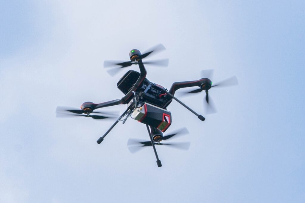
RIEGL VUX-120-23 with NFB Scanning
For applications requiring high-quality data, the RIEGL VUX-120-23 is an ideal solution. This compact and lightweight UAV LiDAR sensor offers a pulse repetition rate (PRR) of up to 2.4 MHz, up to 400 scan lines, and an effective ground measurement rate of two million points per second. The integration of NFB (Nadir/Forward/Backward) scanning—a sophisticated scan pattern optimized for detecting vertical targets—enhances data quality, particularly for power line mapping.
With a field of view of 100 degrees, the sensor allows UAVs to operate parallel to assets rather than directly overhead, improving safety during operations. Given its technical specifications, the VUX-120-23 is also well suited for deployment on fixed-wing UAVs in corridor mapping applications.
RIEGL VUX-100-25 for Urban Surveying
The new RIEGL VUX-100-25 is engineered for high-performance UAV-based surveying in confined spaces. Weighing just 2.36 kg (5.2 lbs) and featuring a field of view of up to 160 degrees, this versatile sensor delivers outstanding performance, including a pulse repetition rate of up to 1,500 kHz, 1.3 million measurements per second, and a scan speed of up to 200 lines per second.
With a maximum flight altitude of 360 meters (1,200 feet), the VUX-100-25 provides broad area coverage, making it ideal for mapping complex urban environments and narrow passageways, including road networks in densely built areas.
This sensor is compatible with a variety of UAV platforms as well as small manned aircraft, such as gyroplanes and helicopters, further extending its range of applications.

RIEGL RiLOC System Solutions
RIEGL’s RiLOC system solutions are ideal for professionals requiring a balance of efficiency and accuracy, and are available in two models: the RiLOC-E-25 and the RiLOC-F.
These systems provide more than just high-precision laser scanning; they incorporate an advanced IMU/GNSS unit and comprehensive software for streamlined data processing. Users can capture, process, generate point clouds, and geo-reference data with exceptional speed and efficiency.
Predefined system parameters and scan settings facilitate fully autonomous operation during data acquisition, allowing UAV pilots to focus on flight safety. Simplified workflows in both field operations and data processing contribute to significant time and cost savings. Furthermore, seamless integration with a wide range of platforms ensures broad applicability, making these systems an optimal solution for both established surveying professionals and those entering the field.
Erwin Burth, Managing Director of RIEGL Germany, commented, “You name your requirements, existing structures, and your personal scope – and we will put together an optimized system for a highly efficient workflow for you.”
Visit RIEGL at Stand 1B01 during XPONENTIAL 2025 in Düsseldorf, or contact [email protected] to schedule a meeting.