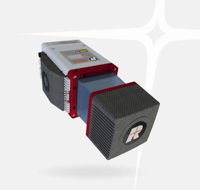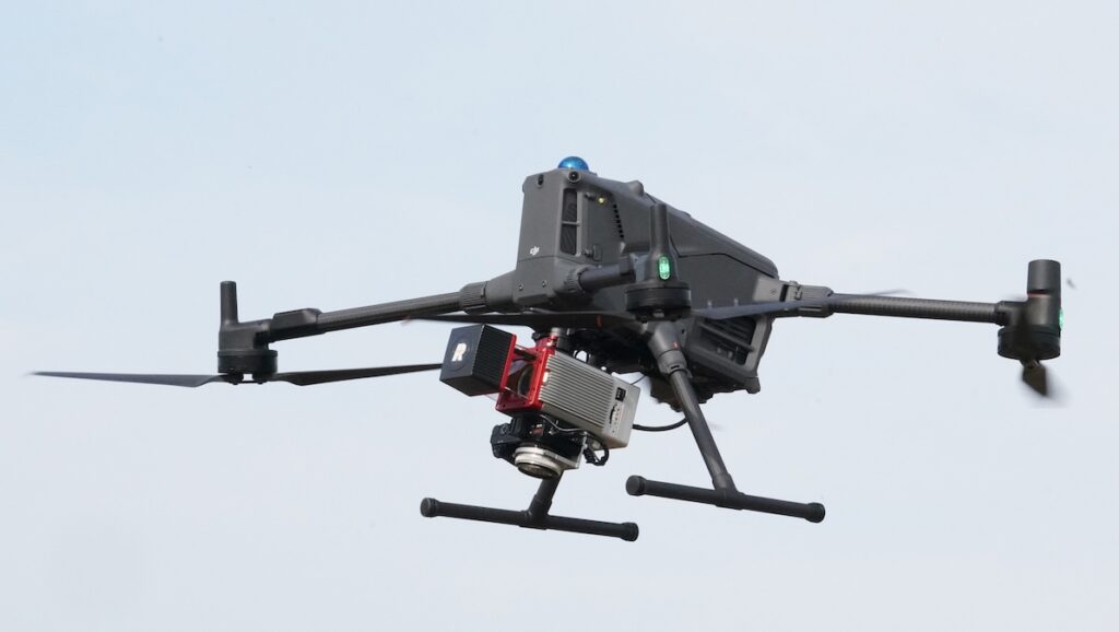
RIEGL introduces the miniVUX-4UAV LiDAR sensor, offering selectable pulse repetition rates up to 400 kHz, increased spatial resolution and multi-target capabilities for UAV-based scanning applications
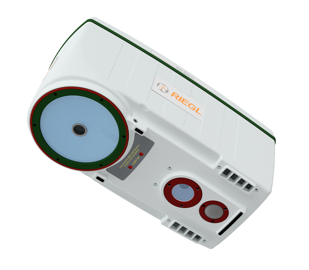
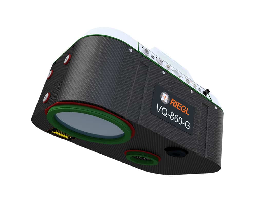
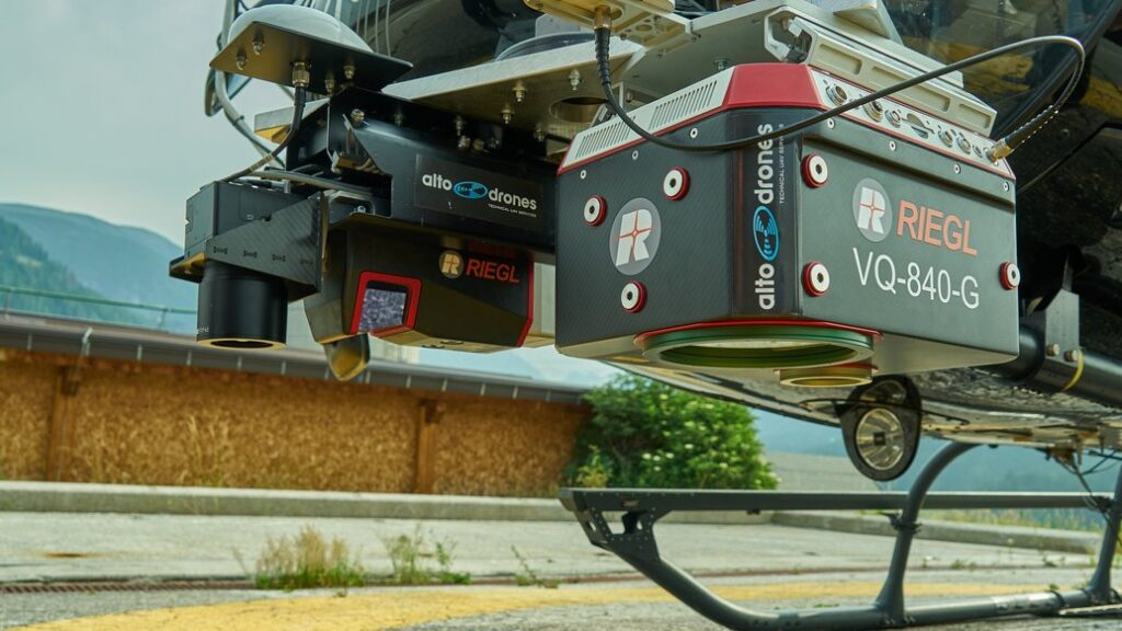
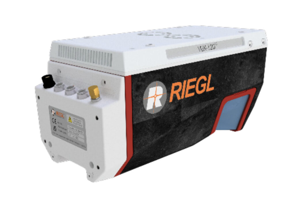
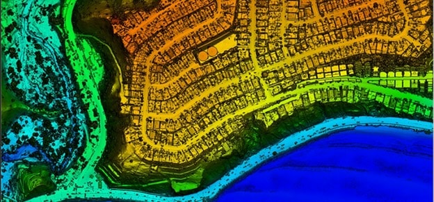
A helicopter-based survey featuring RIEGL VUX-120 and VQ-840-G sensors delivers a seamless topo-bathymetric model for flood protection and hazard planning
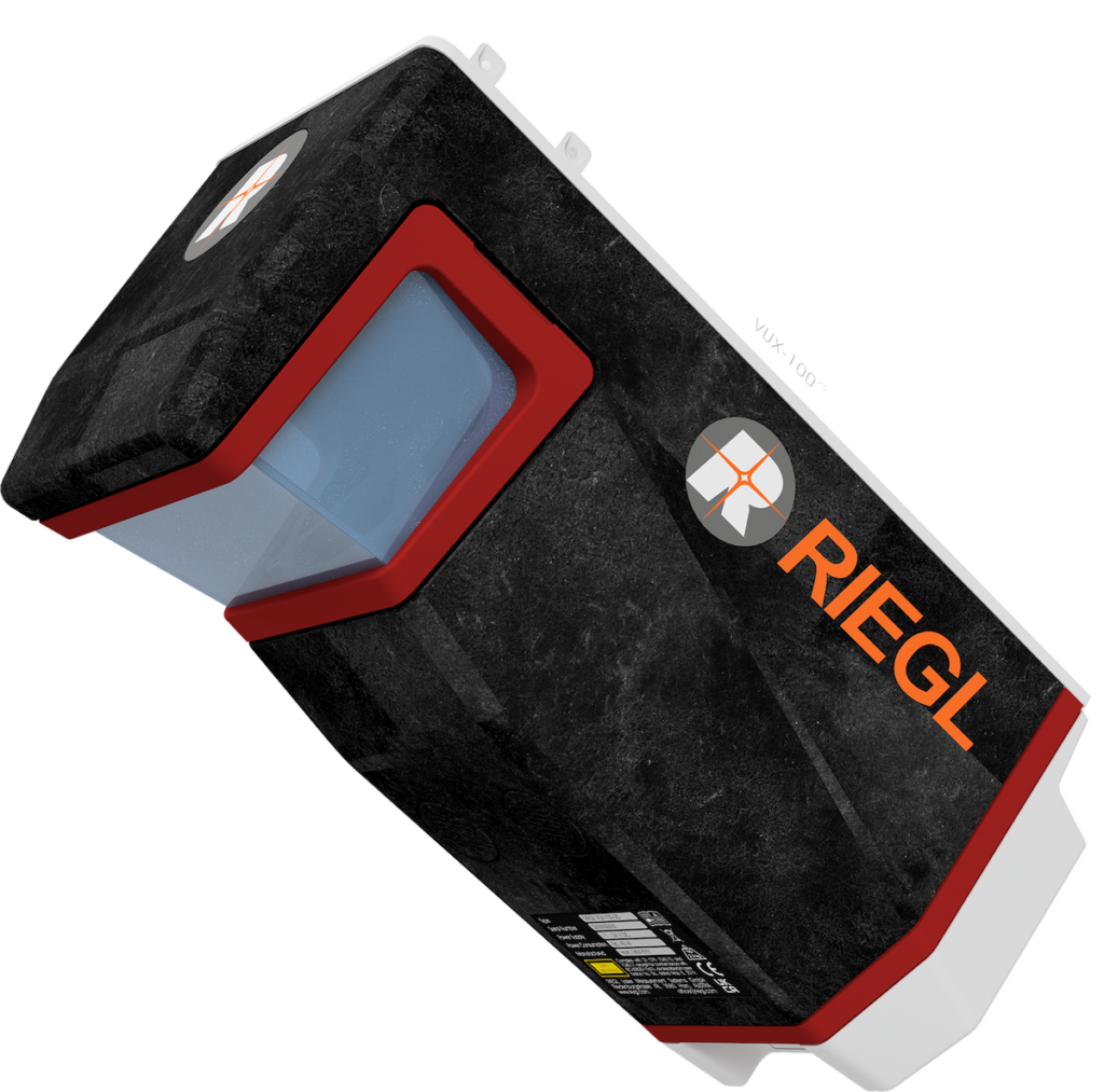
RIEGL unveiled advanced UAV LiDAR solutions at INTERGEO 2025, highlighting precision, compact design, and integrated systems for bathymetry, mapping, and mobile surveying
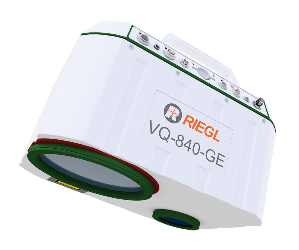
Plymouth Marine Laboratory is advancing shallow water mapping using RIEGL's UAV-mounted bathymetric LiDAR, enabling high-resolution, low-impact environmental data collection and research
Data has been released highlighting the role RIEGL technology played in the successful release of high-resolution LiDAR data for the Palisades and Eaton Fire burn areas in California
The latest unmanned systems news, straight to your inbox.
Get our weekly roundup of technology developments, new products and industry news.
THANK YOU FOR SIGNING UP
Thanks for joining us. Check your inbox.
We've sent you an email. Click the confirmation link to complete your subscription to the weekly eBrief. In the meantime, explore the latest news, suppliers and technologies on UST.
Advancing Unmanned Systems Through Strategic Collaboration
UST works with major OEMs to foster collaboration and increase engagement with SMEs, to accelerate innovation and drive unmanned systems capabilities forward.