Underwater sonar systems use acoustic energy to detect objects, measure depth, image the seafloor, and support navigation where optical and radio-based sensing is limited. For ROVs, AUVs, and USVs, solutions include single-beam and multibeam echosounders, side-scan, forward-looking, and synthetic aperture sonar.
This page showcases leading underwater sonar manufacturers and echosounder suppliers, supporting hydrographic surveying, offshore inspection, environmental monitoring, and autonomous obstacle avoidance.
If you design, build or supply Underwater Sonar & Echosounders, create a profile to showcase your capabilities and connect with visitors who have an active requirement for your solutions.
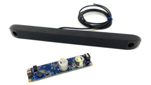
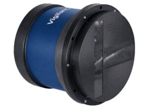
3D acoustic imaging for underwater structures and confined spaces
3D acoustic imaging for underwater structures and confined spaces
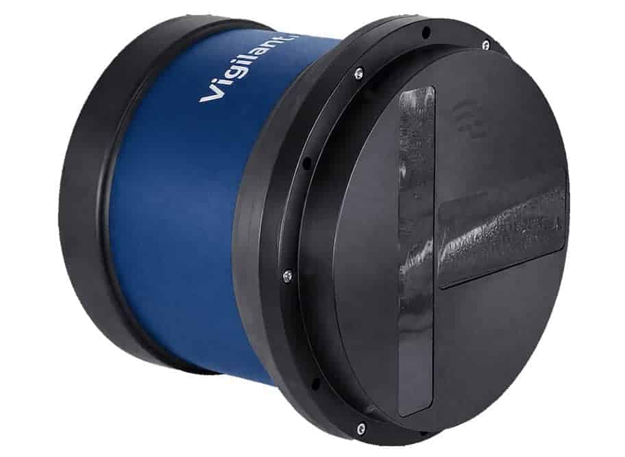
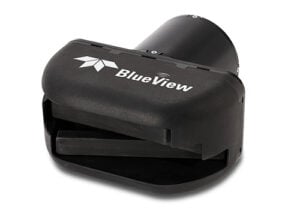
BlueView 3D sonarsystems address two different inspection tasks. The BV5000 MK2 mechanically scans... ...nical scanning sonar with an integrated pan-and-tilt mechanism. Produces sector and spherical scans,...
Multibeam systems for high-resolution seabed surveys
Multibeam systems for high-resolution seabed surveys
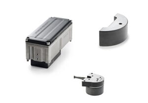
...ncludes subsea systems and surface-vessel configurations with differences in processor arrangement,... ...ming multibeam sonar for high-resolution seabed mapping....
3D multibeam sonar for fisheries & environmental monitoring
3D multibeam sonar for fisheries & environmental monitoring
...overage of the underwater environment, the system combines advanced acoustic processing with... ...veillance, and underwater volcanic degassing studies, SeapiX-R delivers target strength (TS), volume...
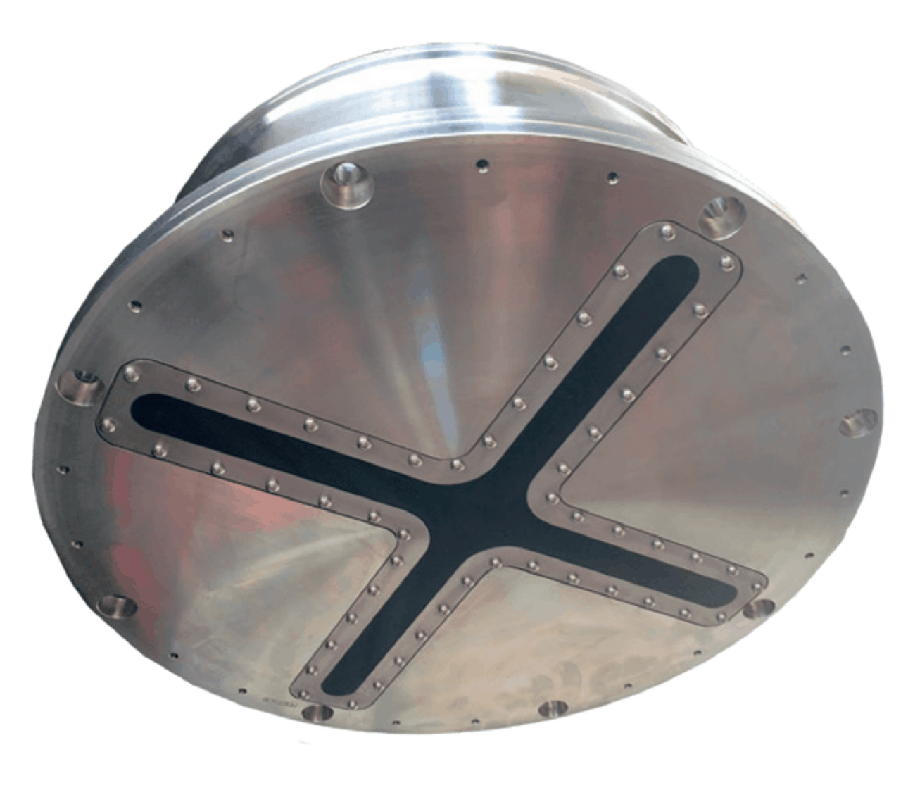
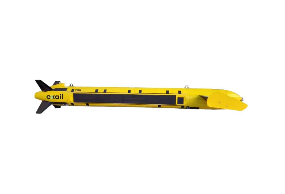
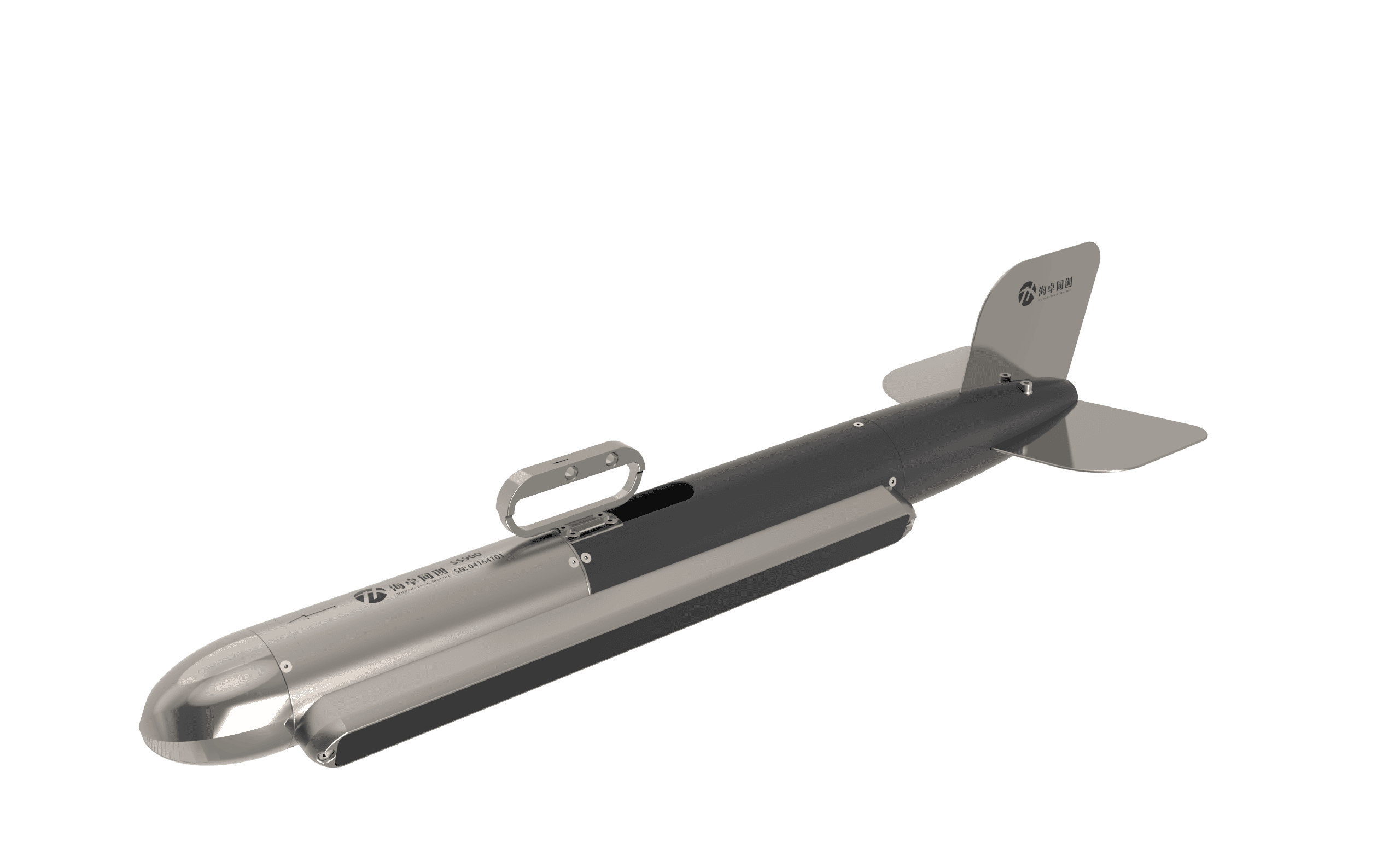
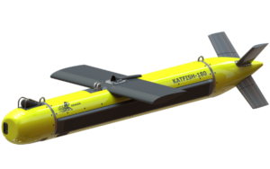
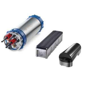
...hetic Aperture Sonar (SAS) developed for advanced underwater detection, mine countermeasure, and... ...ng speeds. The system combines a Fiber-Optic Gyroscope (FOG) Inertial Navigation System (INS) with...
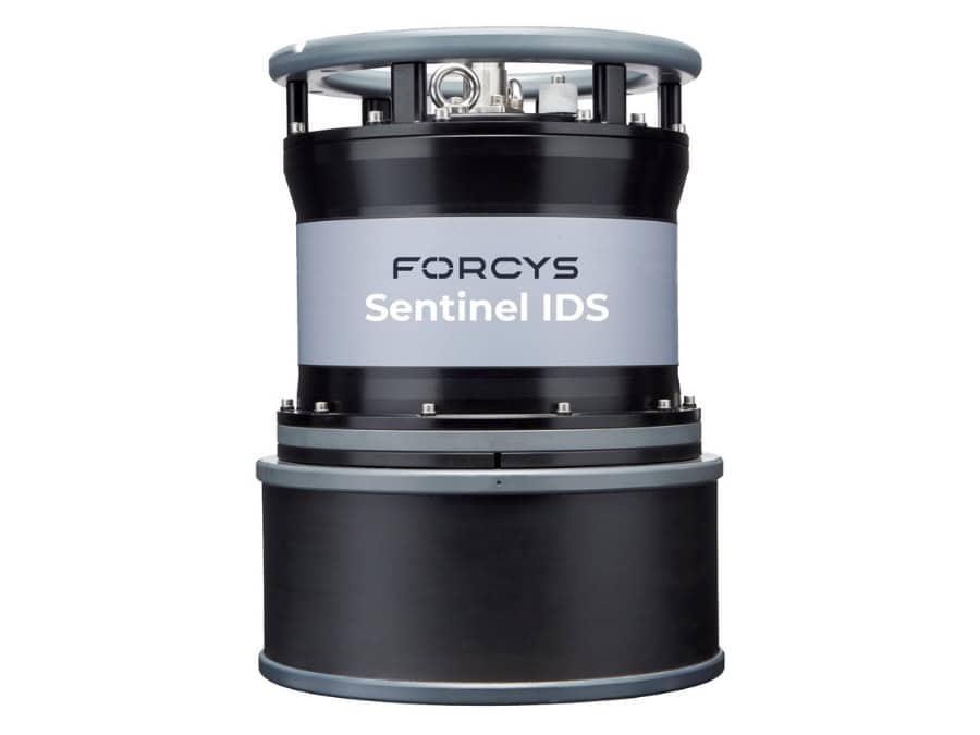
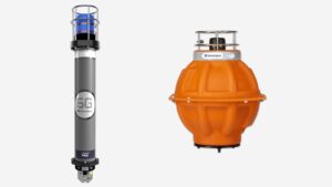
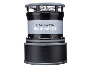
Intruder Detection Sonar for automatic detection, classification & tracking of subsea threats
Intruder Detection Sonar for automatic detection, classification & tracking of subsea threats
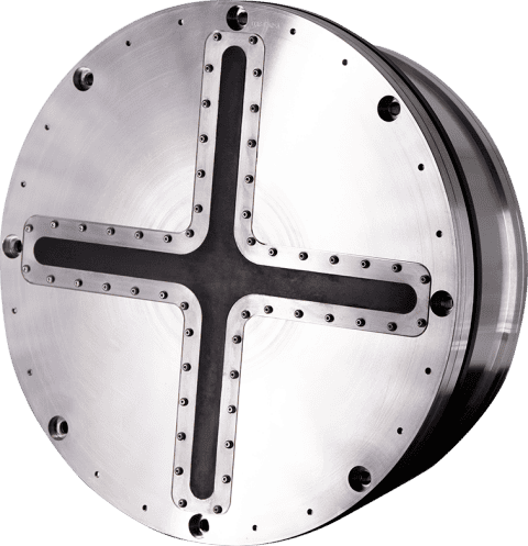
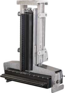
Sentinel is an underwater Intruder Detection Sonar (IDS) engineered to detect, classify, and track... ...real time. The system provides detection ranges of up to 1000 meters for divers and 1500 meters for...
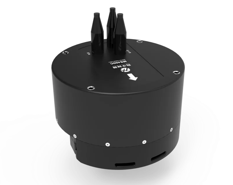
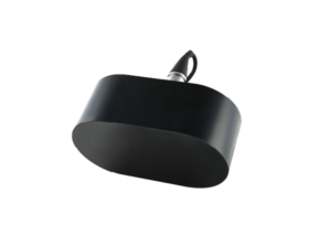
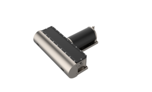
All-in-one multibeam echo sounder for compact USVs
All-in-one multibeam echo sounder for compact USVs
...le streamlined sonar head. The system is optimized for small USVs, offering robust bathymetric... ......t output, and minimal spatial footprint make it an ideal tool for USV-based hydrographic...
The Complete Guide to Echosounders & Underwater Sonar for ROV, AUV & USV Systems
Overview by
William Mackenzie
Updated:
Introduction to Underwater Sonar for ROVs, AUVs & USVs
Underwater sonar systems use acoustic pulses to detect targets, measure depth, and image the seafloor where radio signals cannot propagate effectively and optical visibility is limited. Active sonars, like echosounders, calculate range from returning echoes, while passive systems listen for machinery or environmental noise. Sensor frequency, transmit power, aperture, environmental conditions, and signal processing are among the key factors determining usable range and resolution.
For Remotely Operated Vehicles (ROVs), Autonomous Underwater Vehicles (AUVs), and Unmanned Surface Vessels (USVs), sonar functions as an advanced payload as well as a navigation and positioning aid. AUVs carry sensors close to the seabed for high-resolution mapping, ROVs hover for detailed inspections, and USVs can often accommodate larger transducers while maintaining surface GNSS access. Successful operations require fusing the sonar, vehicle navigation, and control software into a tightly synchronized system.
Main Types of Underwater Sonar & Echosounders
Single-Beam Echosounders
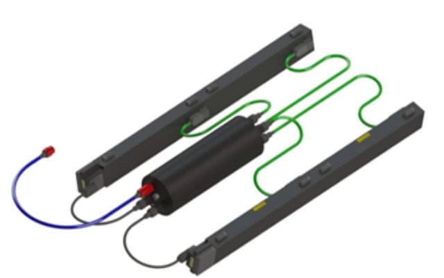
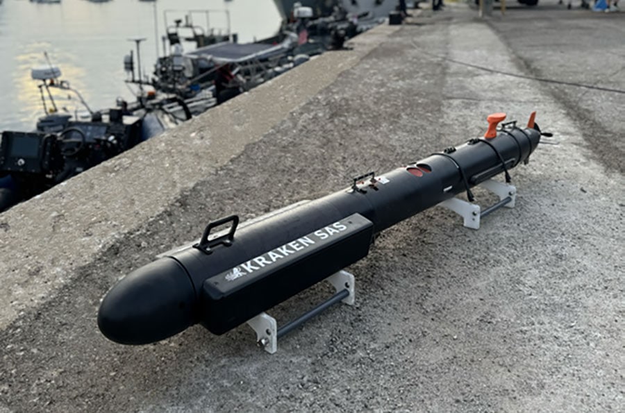
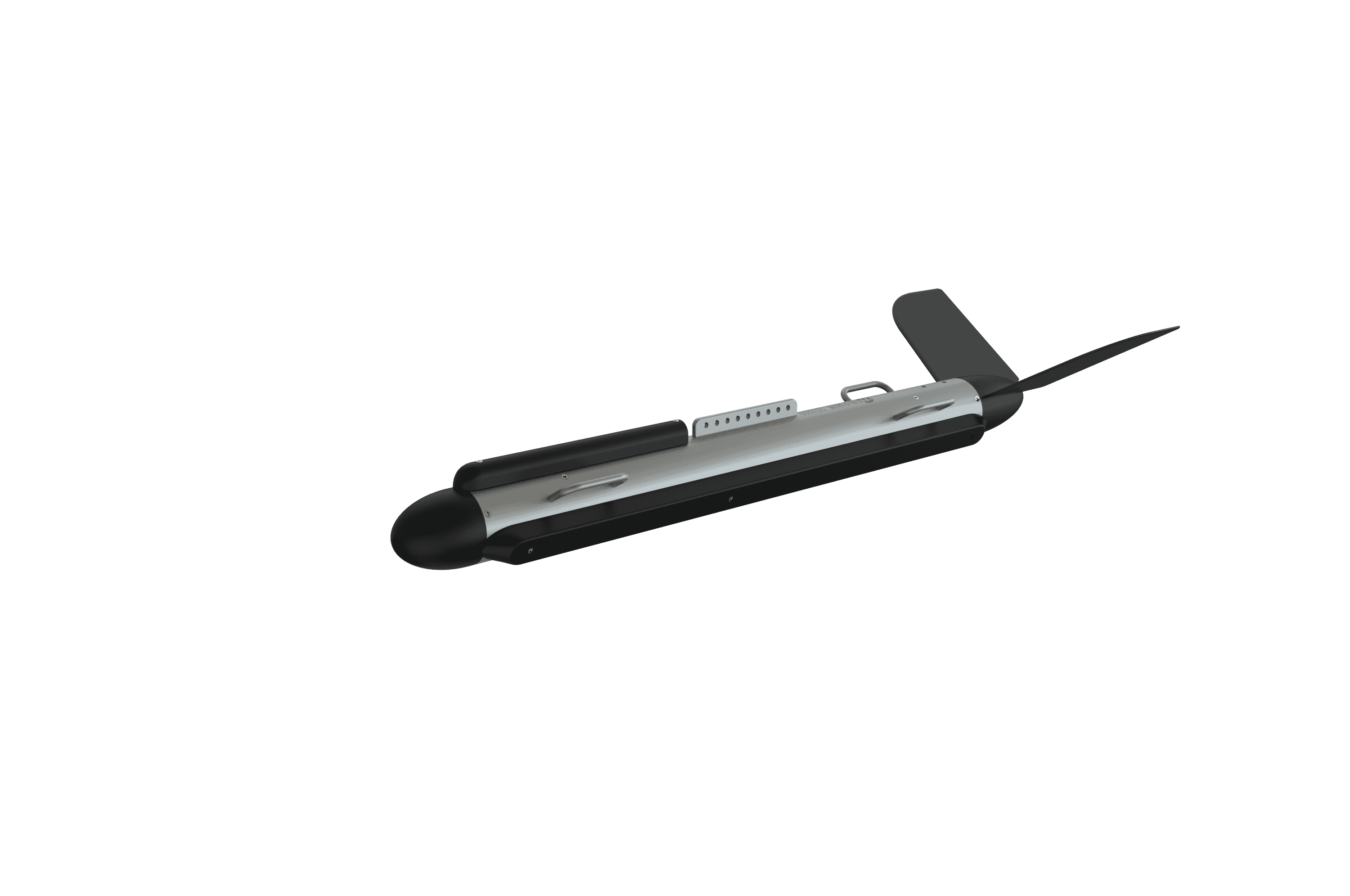
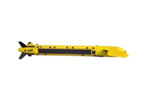
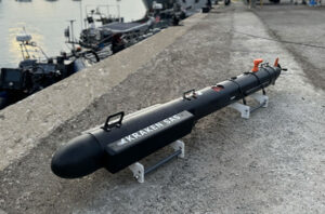
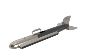
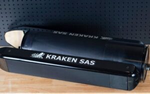
Kraken MP-SAS (Synthetic Aperture Sonar) for Man-Portable UUVs
Single-beam echosounders measure water depth or altitude directly beneath a platform by transmitting a single, downward-looking acoustic beam. Their low power draw, compact size, and low data bandwidth make them well suited to small USVs and inspection ROVs. While higher frequencies offer better resolution over short ranges, lower frequencies propagate farther but generally produce a larger acoustic footprint.
Multibeam Echosounders
Multibeam echosounders project a wide acoustic fan to generate a dense, three-dimensional swath of seafloor depth measurements. This data is critical for generating bathymetric point clouds, digital terrain models, and seafloor backscatter imagery. Beam steering and refraction, particularly toward the outer parts of the swath, are sensitive to sound velocity variations, requiring accurate sound velocity measurements, spatial calibration, and time synchronization with an inertial navigation system.
Side-Scan Sonar
Side-scan sonar generates high-resolution, plan-view imagery of the seabed by emitting narrow, wide-angle acoustic beams to the port and starboard sides. It maps acoustic reflectivity, with hard objects typically producing bright returns and dark acoustic shadows behind them, while areas with weak reflectivity appear darker. Because conventional side-scan sonar does not natively measure true bathymetric depth, it is often paired with bathymetric sensors when depth information is required alongside fully georeferenced seabed mosaics.
Forward-Looking Sonar
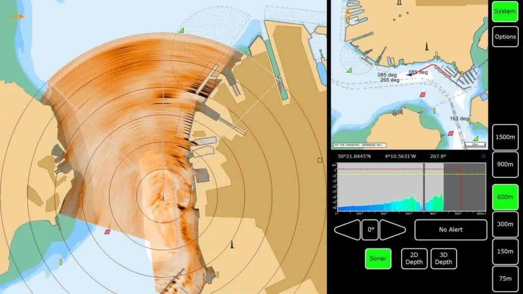
Forward-looking sonar provides real-time acoustic imaging of the water column and objects ahead of the vehicle, serving primarily as an obstacle avoidance and targeting sensor. For ROV pilots navigating zero-visibility waters, this technology detects structural columns, mooring lines, and debris before they enter the camera field of view. For AUVs, it can feed real-time detection data directly into autonomous obstacle-avoidance algorithms.
Mechanically Scanning Sonar
Mechanically scanning sonar physically rotates a narrow acoustic beam through a set arc or a full circle to build a polar image of the surrounding area. This architecture offers high angular resolution in a compact, cost-effective package widely deployed on observation-class ROVs. Because compiling the image takes time, this sensor is best suited to stationary or slow-moving platforms to minimize motion-induced distortion.
Multibeam Imaging Sonar
Often called acoustic cameras, multibeam imaging sonars form multiple narrow beams simultaneously to update the entire field of view at high frame rates. Operating at frequencies that often range from several hundred kilohertz to several megahertz, they deliver real-time, video-like feedback for high-turbidity ROV piloting and manipulator operations. Higher operating frequencies limit usable range, and image quality is highly dependent on target orientation, grazing angle, and environmental conditions.
Synthetic Aperture Sonar
Synthetic aperture sonar combines acoustic returns from successive ping locations along a vehicle path to simulate an array much larger than the physical transducer. This technique can maintain an approximately constant, ultra-high along-track resolution across the swath, largely independent of range. Achieving this requires highly accurate, phase-coherent motion estimation, demanding tight integration with high-grade inertial sensors and Doppler velocity logs.
Sub-Bottom Profilers
Sub-bottom profilers utilize low-frequency acoustic pulses to penetrate seafloor sediments, revealing underlying geological strata and buried infrastructure. Modern chirp systems use frequency-modulated pulses and pulse-compression processing to improve penetration while maintaining vertical resolution. Performance is highly dependent on sediment type, with coarse, gas-bearing, or highly consolidated materials often limiting penetration more severely than soft, fine-grained sediments.
AUV sonar integration requires balancing tight space, weight, thermal, and power budgets, as high-power transmitters directly impact battery endurance. Transducers must be strategically positioned to minimize propeller noise, hull shadowing, self-noise, and turbulent flow. To prevent crosstalk when running multiple acoustic payloads, transmit cycles may require coordinated ping scheduling and precise time synchronization using disciplined clocks, hardware triggers, or other low-latency timing interfaces.
ROV Sonar Systems
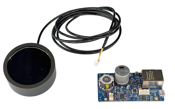
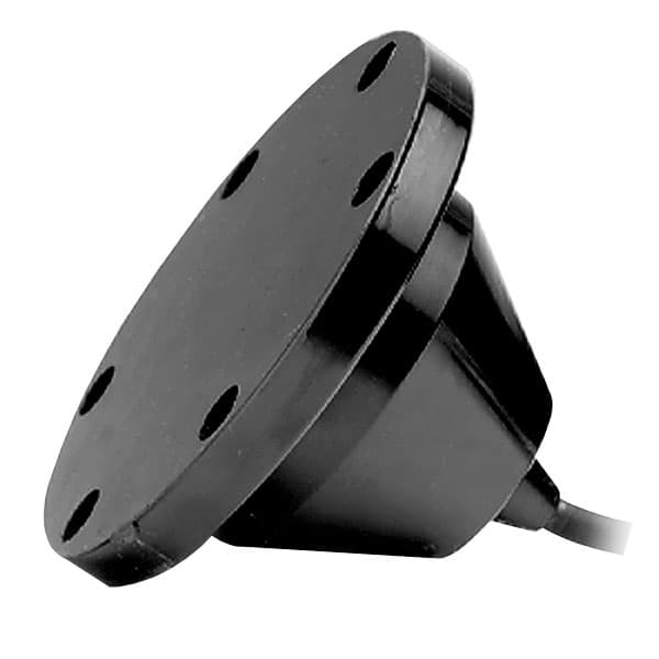
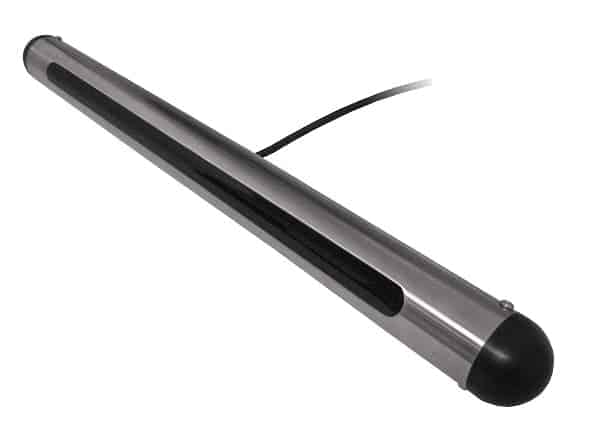
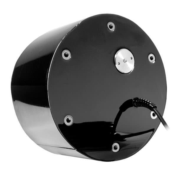
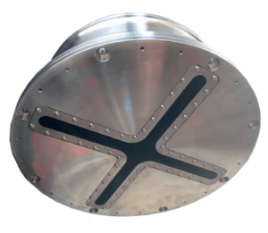
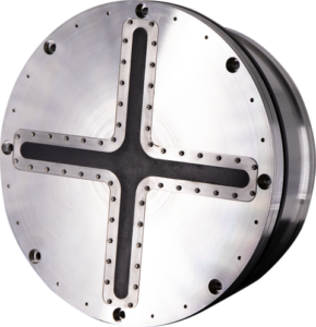
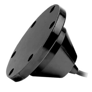
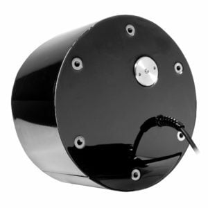
Deep Water Marine Transducer by Airmar
ROVs are excellent platforms for scanning, forward-looking, and imaging sonars because they can hover, rotate, and inspect subsea structures from multiple angles. High-speed telemetry over the vehicle tether allows raw sonar data to be processed on the surface in real time. However, integration must mitigate acoustic noise, physical vibration, and thruster-induced aeration through careful sensor placement, cable isolation, and appropriate vibration damping.
USV-Mounted Echosounders
USVs carry high-resolution mapping payloads while maintaining access to real-time GNSS positioning and high-bandwidth surface communications. To ensure clean acoustic data, the transducer must be placed away from hull-induced aeration, typically on a retractable keel or rigid over-the-side pole. The system must also utilize high-accuracy motion sensors to correct for the platform’s pitch, roll, and heave.
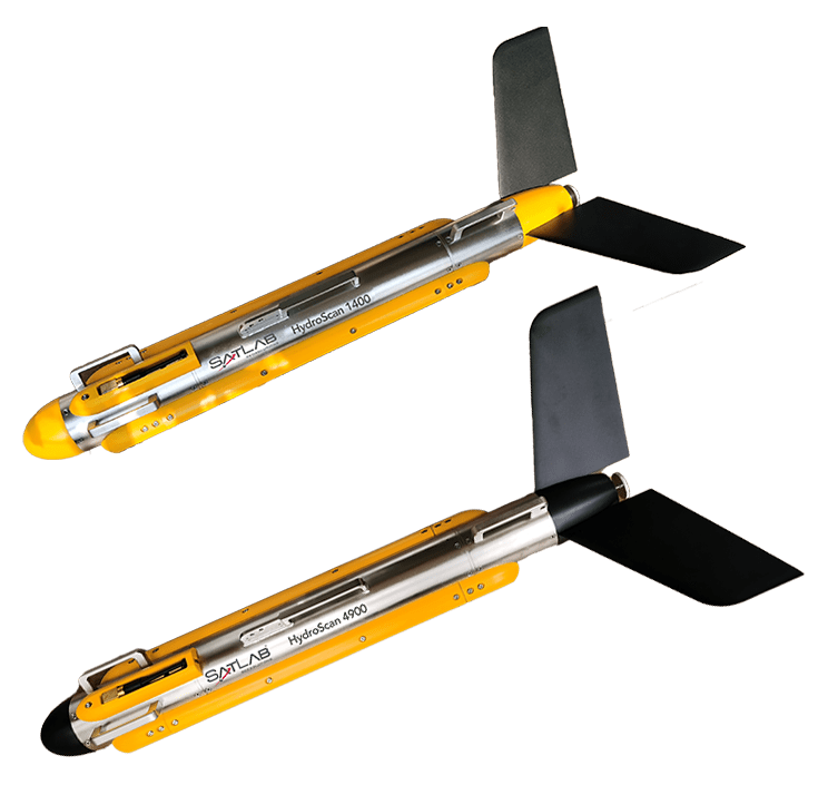
Towfish and Towed-Array Integration
Towing an acoustic sensor moves the payload close to the seabed and reduces its exposure to vessel-generated noise, but it introduces complex localization challenges. Because currents and cable drag displace the towfish, operators may use acoustic tracking, such as USBL, together with depth, altitude, motion, and cable-layback measurements to georeference the data accurately. Autonomous USVs towing sensors require active winch control and tension monitoring to reduce the risk of seafloor collisions.
Navigation, Positioning & Timing Integration
Achieving high-fidelity georeferencing and eliminating spatial artifacts requires integrating the acoustic payload with a suite of precise navigation and positioning sensors.
GNSS Positioning for Surface Platforms: Delivers absolute coordinate tracking and precision timing references, reducing horizontal uncertainty to centimeter level under suitable RTK or high-accuracy PPP conditions.
Inertial Navigation Systems (INS): Tracks high-rate vehicle orientation and velocity to correct for wave motion on USVs and serves as the primary navigation engine for submerged AUVs.
Doppler Velocity Logs (DVL): Measure precise vehicle velocity relative to the seafloor, substantially limiting the position drift of the INS during extended subsea dives.
Ultra-Short Baseline (USBL) Systems: Provide external acoustic measurements used to calculate the subsea position of vehicles relative to surface ships or fixed seabed transponder grids.
Pressure and Depth Sensors: Measure hydrostatic pressure to determine vertical position relative to the sea surface, stabilizing the navigation filter and providing an independent vertical reference alongside acoustic altitude data.
Fusing these sensors into a unified coordinate frame ensures that every acoustic return is mapped accurately in both physical space and system time.
Operational Applications of Underwater Sonar & Echosounders
Hydrographic Surveying and Nautical Charting
Hydrographic charting requires dense, high-accuracy depth measurements to support safe vessel navigation. USVs map shallow, hazardous shoal waters while AUVs survey deep-ocean corridors, utilizing multibeam echosounders to cover the seafloor. These operations may be conducted in accordance with international standards such as IHO S-44 Edition 6.2.0, published in October 2024, which specifies requirements for survey uncertainty, feature detection, and seafloor coverage.
Seabed Mapping and Environmental Monitoring
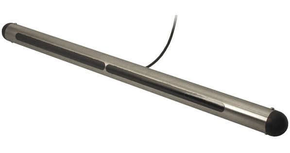
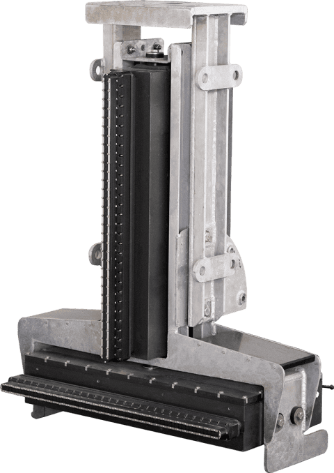
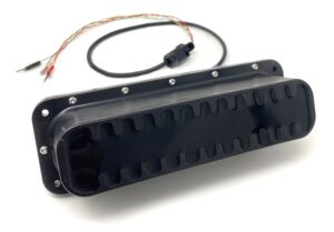
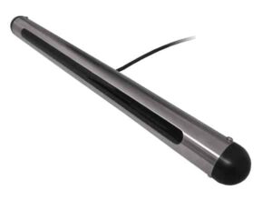
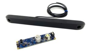
Omniscan 450 SS – Side Scan Sonar for USVs by Cerulean Sonar
Environmental monitoring utilizes multibeam backscatter and side-scan imagery to map subsea habitats, support sediment classification, and track changes over time. Repeat AUV surveys allow researchers to monitor dynamic marine environments, such as identifying submarine landslides, tracking sediment transport, and assessing ecosystem health with high spatial repeatability.
Offshore Surveys and Subsea Cable Inspection
The offshore energy and telecommunications sectors rely on acoustic sensors to plan, install, and inspect critical subsea infrastructure. Multibeam systems map pipeline corridors, while side-scan sonar identifies exposed infrastructure and scouring hazards, and sub-bottom profilers or dedicated cable-tracking systems assess cable burial depth. ROVs are then deployed to execute close-up structural inspections of wind turbine foundations or subsea templates.
Mine Countermeasures and ASW
Unmanned systems carry advanced sonar payloads to conduct hazardous military operations without putting personnel at risk. High-resolution synthetic aperture and side-scan sonars allow AUVs to locate and classify sea mines with high precision. In anti-submarine warfare, distributed networks of USVs and AUVs may carry or tow passive acoustic arrays to detect and track submerged targets across wide maritime areas.
Search, Rescue and Recovery
In low-visibility environments, search operations rely heavily on acoustic imaging to locate aircraft wreckage, sunken vessels, or lost cargo. Wide-area side-scan sweeps are used to identify potential targets, followed by ROVs equipped with high-frequency imaging sonars to navigate the debris field and assist recovery teams.
Emerging Developments in Underwater Sonar
The rapid evolution of processing power and transducer design is introducing advanced intelligence and efficiency to acoustic surveys.
Autonomous Adaptive Survey Planning: Real-time onboard analysis of incoming sonar data allows vehicles to dynamically modify their path, altitude, or sensor settings to investigate detected targets or hazardous terrain.
Real-Time Onboard Data Reduction: Edge-computing systems process raw acoustic data on the vehicle, generating compressed maps or target reports that can be transmitted over low-bandwidth acoustic modems.
Compact Low-Power Multibeam Systems: Miniaturized transducer arrays and efficient FPGAs enable small, man-portable USVs and light ROVs to carry high-resolution 3D bathymetric capabilities.
Distributed and Cooperative Sonar Networks: Swarms of unmanned vehicles share simplified target detections and relative positioning data over acoustic networks, working collaboratively to map large ocean areas.
These developments are shifting the role of underwater sonar from standalone sensing payloads to integrated sources of real-time data for autonomous decision-making in marine operations.
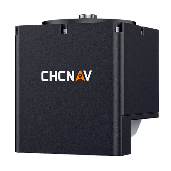
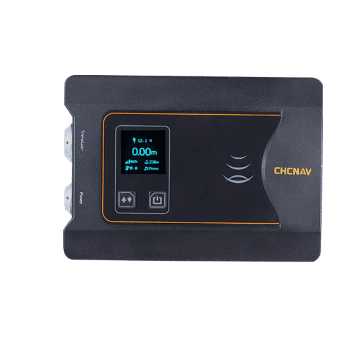
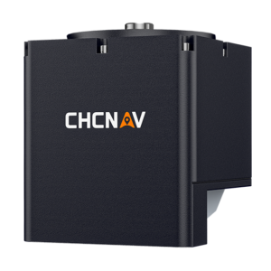
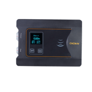
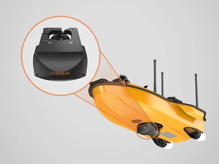
Engineered for unmanned and manned platforms, CHC Navigation's new dual-frequency system provides high-resolution hydrographic mapping across complex shallow and deep water environments
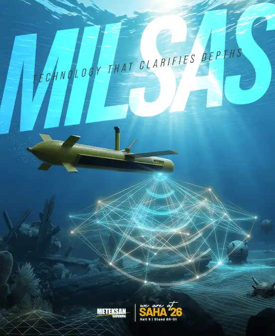
Meteksan Defense discusses the development of its MİLSAS synthetic aperture sonar system and its role in supporting high-resolution underwater imaging, seabed mapping, and underwater target detection
Kraken Robotics’ acquisition of Covelya Group expands its subsea technology portfolio, adding navigation, positioning, and communications capabilities for autonomous underwater and maritime platforms worldwide
Teledyne Marine validated high-resolution underwater threat detection and multi-sensor harbour defence capabilities during live trials in Sweden ahead of Navy Tech & Seabed Defence 2026
Strategic consolidation under the Forcys brand combines Wavefront’s world-leading sonar expertise with a unified vision for autonomous underwater defence
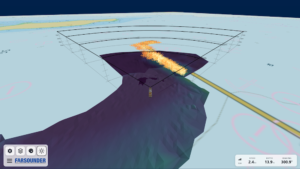
FarSounder's new grant from the Rhode Island Commerce Corporation will accelerate the development of its machine-learning frameworks for automated maritime hazard classification
The latest unmanned systems news, straight to your inbox.
Get our weekly roundup of technology developments, new products and industry news.
THANK YOU FOR SIGNING UP
Thanks for joining us. Check your inbox.
We've sent you an email. Click the confirmation link to complete your subscription to the weekly eBrief. In the meantime, explore the latest news, suppliers and technologies on UST.
Advancing Unmanned Systems Through Strategic Collaboration
UST works with major OEMs to foster collaboration and increase engagement with SMEs, to accelerate innovation and drive unmanned systems capabilities forward.