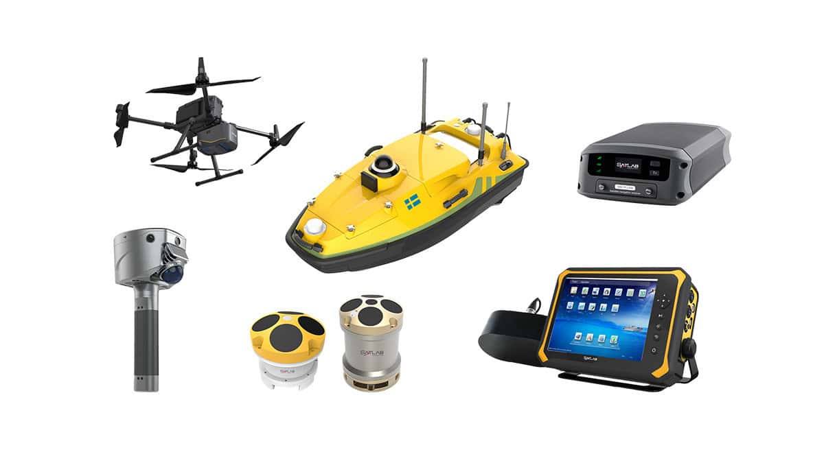
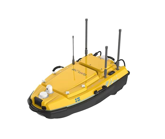
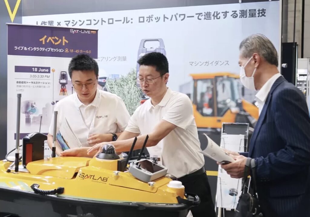
SatLab Geosolutions has demonstrated the capabilities of its HydroBoat 1200MB Unmanned Surface Vessel (USV) by delivering high-resolution multibeam riverbed mapping in a complex section of Japan’s Yodo River near Hirakata Bridge in Osaka Prefecture.
Surveying confined and operationally active waterways presents persistent challenges for conventional hydrographic methods, including safety risks, data gaps around structures, and reduced accuracy near critical features. The project area was affected by frequent vessel traffic, dredging activity, light rainfall, and restricted access near bridge pillars, making manual and single-beam survey approaches impractical.
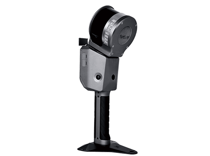
To overcome these constraints, SatLab deployed the HydroBoat 1200MB, integrating HydroBeam M2 multibeam and single-beam echo sounders with autonomous navigation, intelligent obstacle avoidance, and real-time data processing. Survey lines were generated from client-supplied DXF and KML base maps, enabling the USV to execute pre-planned routes with minimal operator intervention while dynamically avoiding vessels and structural hazards.
A key efficiency gain was achieved through the use of SatLab’s SPIN (Sound Speed Profile Inversion) algorithm, eliminating the need for separate sound velocity profiling. Live depth grids and noise filtering via SLHydroBeam software supported immediate quality control and coverage verification during acquisition.
The survey produced a detailed 3D digital terrain model of the riverbed, clearly resolving bridge pillars, pipe supports, and scour features. The dataset met IHO Special Order accuracy standards, providing a reliable foundation for engineering assessment, bridge monitoring, and long-term waterway management.