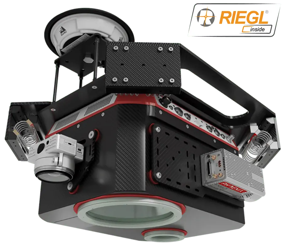
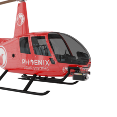
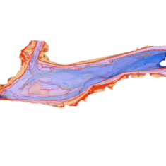
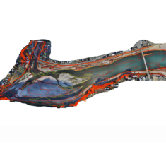
The HydroRANGER is an Airborne Topo-Bathymetric (ATB) LiDAR system for use on unmanned helicopters. Providing dual purpose topographic and bathymetric measurements, it is ideal for mapping land-water interfaces in river, coastal and ocean environments.
The high-resolution and high-accuracy scanner uses a visible green spectrum laser with an elliptical scan pattern. It provides measurement rates of up to 200 kHz, and is capable of measuring in excess of 2 Secchi depths. The HydroRANGER also integrates Phoenix LiDAR’s AIR NavBox, a lightweight rover that allows configuration of heavier payloads and integration of the highest resolution cameras on the market.
Weight: 21 kg (including Air NavBox and helicopter vibration isolator)
Dimensions: 434 x 334 x 202 mm
Accuracy: 20mm
Max Altitude: 75m AGL
Max Scan Rate: 200k shots per second


