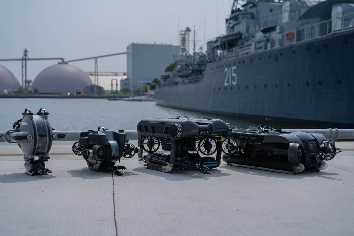
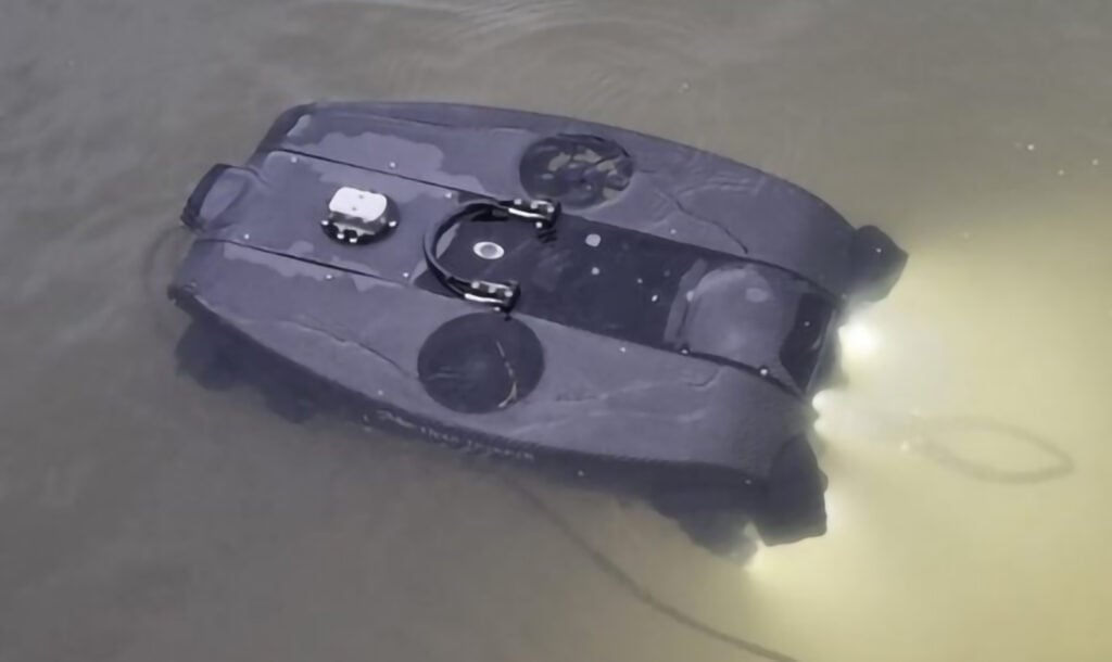
Restoration teams working in southern Brittany are using the Deep Trekker PHOTON ROV to support long-term oyster reef recovery and aquaculture monitoring efforts across the Morbihan region in France. The compact remotely operated vehicle is being deployed as part of Project REPARE, an initiative focused on restoring native flat oyster populations while improving environmental monitoring capabilities in coastal ecosystems. Read more >>
The project combines underwater robotics, aerial imaging, historical habitat analysis, and long-term ecological assessment to better understand oyster reproduction, reef development, and environmental pressures affecting shellfish populations. Using the PHOTON ROV, field teams are able to conduct detailed underwater inspections in locations where strong currents, low visibility, and operational constraints make conventional diving less practical.
The restoration effort centers on the recovery of European flat oysters (Ostrea edulis), a native species that experienced severe population decline during the twentieth century due to disease, overharvesting, and changing environmental conditions. The REPARE initiative is supported by Agence de l’eau and Fond vert, with restoration planning informed by historical seabed mapping records dating back to 1906.
Long-Term Oyster Reef Restoration in Southern Brittany
Project REPARE focuses on restoring natural flat oyster reefs in areas including Quiberon Bay and river systems near La Trinité-sur-Mer. Historical habitat charts, particularly records documenting former oyster beds in the Belon and Aven rivers, are used to identify suitable restoration zones and compare present-day seabed conditions with earlier marine environments.

Conservation teams are monitoring reef development over a projected ten-year period. The work involves two separate oyster categories:
- Flat oysters, which live directly on the seabed and require underwater inspection for habitat assessment and restoration tracking
- Table oysters, which are cultivated above the seabed and monitored primarily through aerial imaging and photogrammetry surveys conducted during low tide
The combination of subsea and aerial survey methods provides repeatable inspection workflows while reducing dependence on divers for routine monitoring operations.
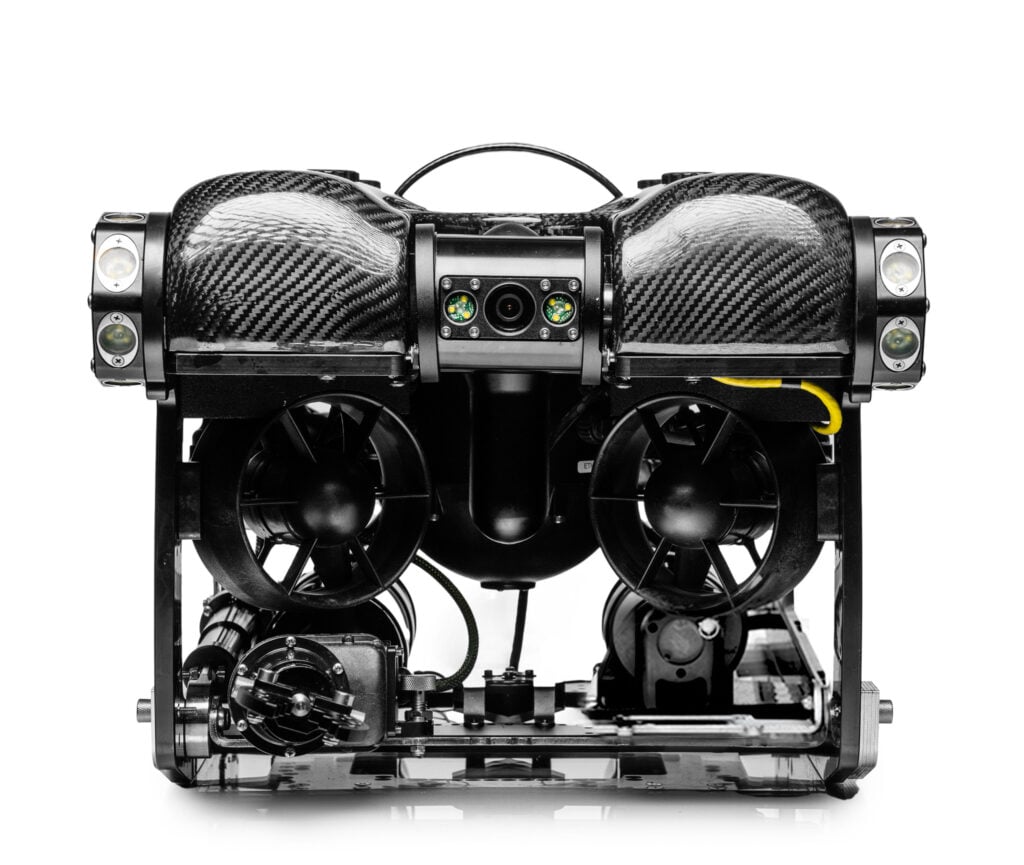
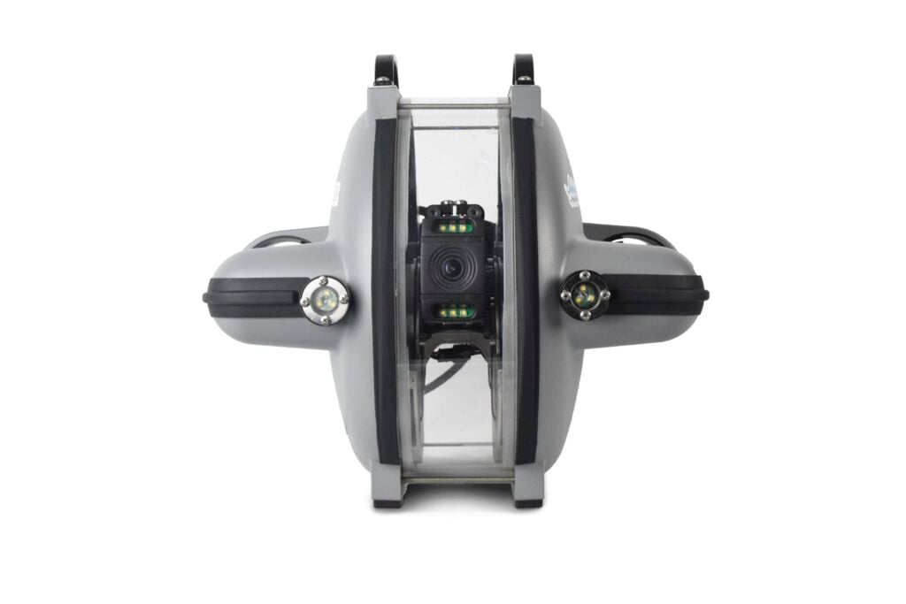
Underwater Inspection Using the Deep Trekker PHOTON ROV
The project is led by CRC Bretagne Sud and supported operationally by Gilles Raibaut, a sworn officer with the Comité Régional de la Conchyliculture de Bretagne Sud. His responsibilities include environmental monitoring, farm inspections, water sampling, predator assessment, and post-storm infrastructure evaluations.
To support these activities, Raibaut deploys the Deep Trekker PHOTON ROV from both small boats and paddle boards, allowing access to shallow and difficult-to-reach survey locations.
As Gilles Raibaut, Sworn Officer, Comité Régional de la Conchyliculture de Bretagne Sud, explained, “I am a sworn officer, mainly responsible for monitoring farms and natural beds, conducting field inspections: water quality sampling, monitoring predation, monitoring oyster reproduction, assessing farm conditions, and carrying out inspections after accidental or weather-related damage (storms), etc. To perform my tasks, I use a boat, a paddle board, aerial drones (for aerial views + photogrammetry), and more recently, a Deep Trekker PHOTON ROV.”
Raibaut’s previous experience as a police diver influenced the decision to integrate a remotely operated vehicle (ROV) into restoration operations, particularly for precision inspection work in challenging underwater conditions.
“As a former police diver, I can say piloting the ROV feels close to real diving. With the PHOTON ROV, I’ve found again some of the same sensations and reflexes I had as a diver (camera orientation during descent, depth stabilization, heading control) – the screen output is very similar to what a diver actually sees.”
Giuseppe Grassano, Sales & Marketing Director at Escadrone, supported deployment and integration of the inspection platform within the project workflow.
ROV Capabilities Supporting Oyster Monitoring
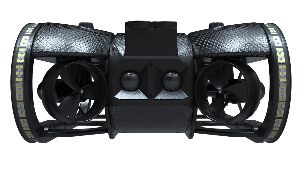
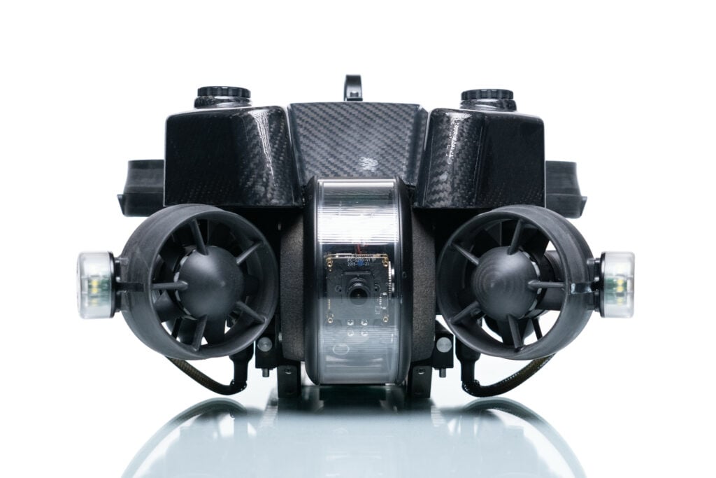
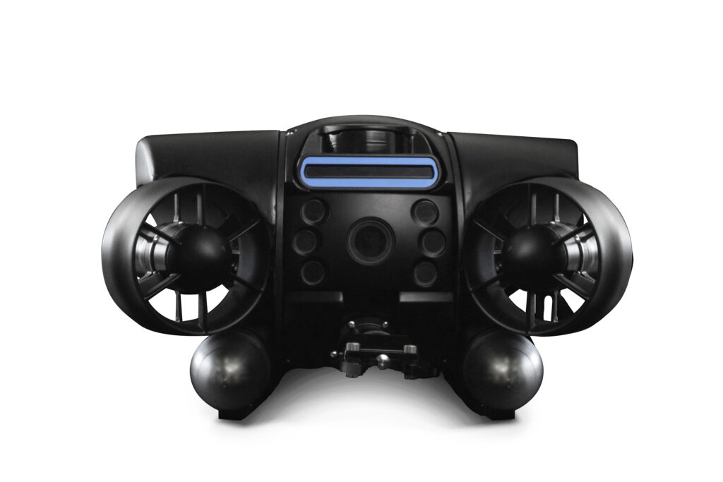
The PHOTON ROV is used to inspect oyster reefs, monitor larval settlement structures, assess seabed conditions, and identify predators affecting shellfish populations. High-quality video and still imagery captured during inspections are stored for later analysis and reporting.
According to Raibaut, the vehicle’s compact form factor is especially important for solo field operations.
“Since I work alone on a small boat and sometimes on a paddle board, the compact size of the ROV is a major advantage for deployment. Farm depths range from 3 to about 15 meters.”
The ROV’s stabilization features also assist with repeatable inspections around artificial reef structures designed to encourage larval attachment.
“Heading hold and depth stability are also impressive,” he added. “In one project, we placed rebar tables in the sea for oyster larvae to attach to. The ROV lets us check the baby oysters growing on the metal, circling around the tables and filming. It’s very stable.”
Operational features highlighted during the project include:
- Stable underwater imaging in turbid conditions
- High-resolution video and still image capture
- Grabber claw for sample collection
- Compact deployment from small vessels
- Automatic white balance correction
- Turbidity filtering for reduced-visibility environments
The grabber system is also used to retrieve oyster samples and predatory species such as starfish for further examination.

Survey Workflows and Environmental Monitoring
Inspection activities combine GPS-based survey planning with long-duration underwater video collection. Historical oyster bed locations are first identified using archival habitat charts, after which restoration teams establish fixed monitoring points for repeated inspection.
Raibaut described one survey conducted in the Ria of Etel River:
“In Ria of Etel River, there was a project to reintroduce flat oysters in a channel. The state required us to establish a baseline before reintroducing oysters. So, in that part of the river, I recorded 4 GPS points spaced about 500 meters apart, and I filmed about 20 minutes of video around each point. I provided the videos on a shared drive to the state services. They asked us to repeat this over a 10-year period with regular checks. That’s why the ROV is useful – especially the video quality, which is impressive. The auto white balance colour correction is excellent, and the turbidity filter has been useful in winter when the water is not as clear.”
Captured imagery and survey footage are incorporated into environmental reporting workflows and shared with government agencies responsible for long-term ecological oversight.
“The speed and ease of processing photos and videos is a huge benefit, making it possible to integrate them into inspection reports (environmental studies) and share them with government authorities easily.”
Monitoring Infrastructure and Structural Integrity
Beyond ecological surveys, the ROV is also used to inspect aquaculture infrastructure, including mooring systems, nets, and submerged farm equipment.
By navigating along lines and structures, operators can identify:
- Net tears and structural damage
- Broken or displaced mooring lines
- Misalignment of underwater equipment
- Storm-related damage affecting oyster farms
The use of underwater video inspection reduces the requirement for diver deployment in hazardous conditions while providing a permanent visual record for maintenance planning and trend analysis.
Oyster Larval Monitoring and Habitat Assessment
Restoration activities involve continuous monitoring of oyster reproduction cycles and larval settlement conditions. Beginning in May each year, teams collect filtered water samples to identify larvae during spawning periods.
“Flat oysters spawn larvae at the end of June to early July. I take regular water samples, filter them, and with a biologist from the research firm COCHET ENVIRONMENT, check under the microscope to see oyster larvae and assess the maturation of broodstock,” Raibaut explained.
Settlement structures made from rebar and biodegradable materials are installed to encourage attachment and reef formation. Oyster larvae eventually settle onto rocks, metal structures, or specially prepared collector plates coated with lime.
The project also requires habitat verification before reintroduction efforts proceed.
“For the canal inspection project, the state also asked us to confirm that there was no seagrass (Zostera). With the video we could show there wasn’t any, which allowed reintroduction of flat oysters. There’s no direct link between oysters and seagrass, but seagrass is protected, so it was important to check.”
Combining ROV Surveys with Photogrammetry
Drone-based photogrammetry and bathymetric mapping complement underwater inspections by providing broader spatial analysis of reef development and seabed conditions.
Aerial surveys are used to map table oyster layouts and estimate cultivation density, while ROV imagery supports close-range inspection of reef growth, larval settlement, and substrate suitability. Together, these technologies provide repeatable documentation for restoration monitoring programs and environmental assessments.
Supporting Sustainable Coastal Ecosystems
The restoration of flat oyster populations is expected to contribute to improved water filtration, habitat stability, and marine biodiversity throughout the region. Reestablished oyster reefs may also support future commercial fishing activity, ecotourism opportunities, and increased coastal resilience.
The integration of compact ROV systems into these workflows provides restoration teams with a practical inspection capability that reduces operational costs and improves access to long-term ecological data.
Reflecting on the equipment’s reliability in field conditions, Raibaut stated, “I recommend this brand. It’s easy to use and durable, unlike cheaper, more fragile models with smartphone controllers and all-plastic construction.”
By integrating subsea robotics with restoration science and aquaculture management, the REPARE project demonstrates how underwater inspection technology can support marine conservation initiatives while improving efficiency and reducing risk during coastal monitoring operations.
Read “Project REPARE: Oyster Farm Restoration in Southern Brittany” to find out more.