BraveX outlines how its long-endurance fixed-wing and Vertical Take-Off and Landing (VTOL) drones can support environmental agencies with efficient, high-precision aerial monitoring. Read more >>
Environmental agencies often face challenges such as monitoring vast, inaccessible regions for illegal dumping, pollution, or forest degradation. Surveys may be outdated and offer poor spatial coverage, while manual methods are
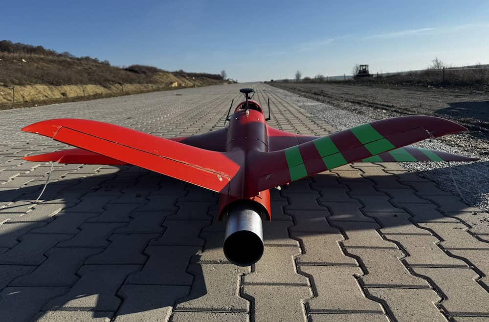
BraveX Aero addresses these issues with advanced drone platforms engineered for endurance, precision, and rugged conditions. The systems offer up to four hours of flight time, a 250 km battery-powered range, and a 5-7 kg payload capacity for cameras, sensors, LiDAR, and sampling kits. Features include real-time telemetry, autonomous navigation, GPS-RTK accuracy, and the ability to operate in challenging weather and environments.
By enabling routine aerial surveillance, high-resolution multispectral imaging, automated flight missions, remote inspections, and 3D or thermal mapping, the drones help agencies detect violations more quickly, close data gaps, improve staff safety, expand coverage, and enhance modeling accuracy.
Typical use cases include monitoring for illegal logging or dumping, thermal scanning of wildlife habitats, detecting river pollution or oil spills, assessing land erosion or coastal degradation, and supporting Environmental Impact Assessments (EIAs).
Agencies can get started by scheduling a free aerial demonstration, co-developing a pilot program for specific monitoring needs, and integrating drone data feeds with existing GIS and compliance systems.
To find out more information, read ‘Drones for Environmental Protection Agencies’ here >>