


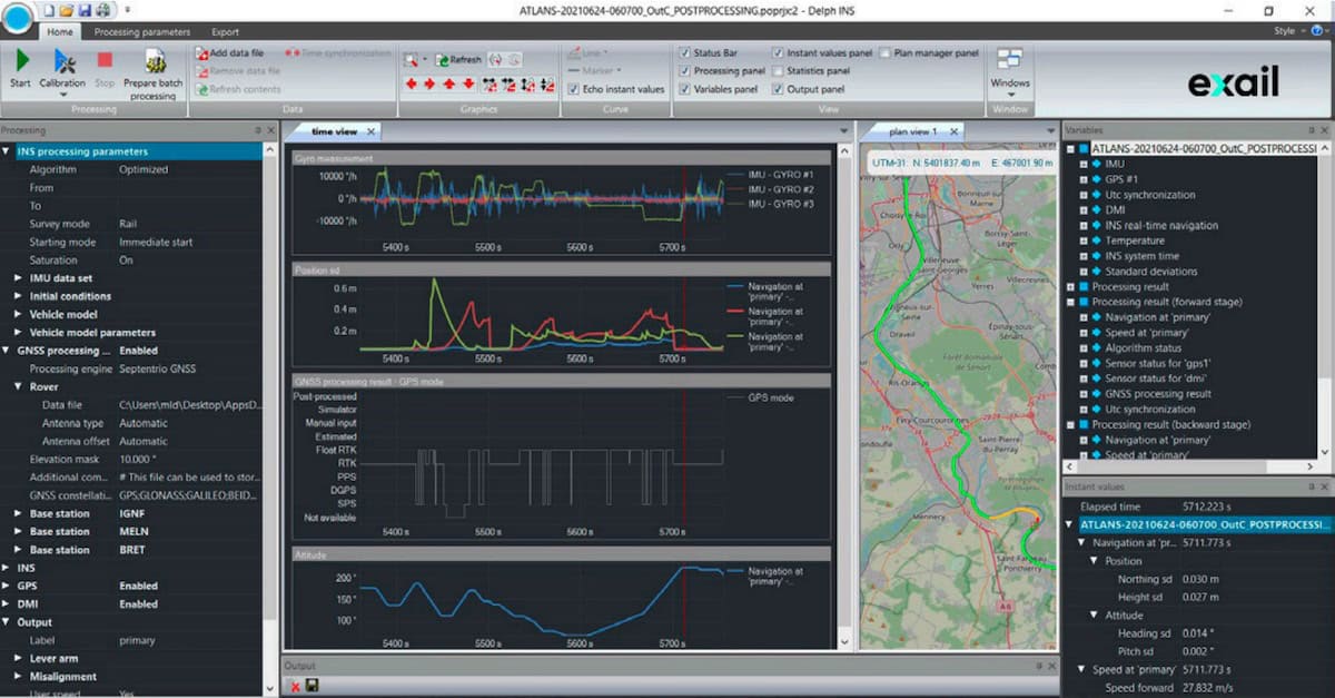
Delph INS is an advanced post-processing software suite from Exail designed to enhance trajectory computation for inertial navigation data across airborne, land, and hydrographic applications. Compatible with both legacy and current Exail Inertial Navigation System (INS) platforms, the software integrates inertial processing with Global Navigation Satellite System (GNSS) post-processing through a tightly coupled approach. Its forward-backward processing methodology, combined with powerful data management and visualization tools, enables precise reconstruction of position, speed, and attitude with reliable statistical outputs.
Built for efficiency and scalability, Delph INS supports flexible data import and export formats, allowing seamless integration into existing workflows and compatibility with leading LiDAR and imaging processing tools. The software includes calibration utilities for lever arm estimation and sensor alignment, along with configurable processing parameters and automated batch capabilities to streamline large datasets. With user-friendly interfaces for reference station management, QA/QC reporting, and output rates up to 200 Hz, Delph INS provides a dependable solution for applications such as airborne mobile mapping, high-altitude LiDAR and SAR surveys, and sensor stabilization.


