




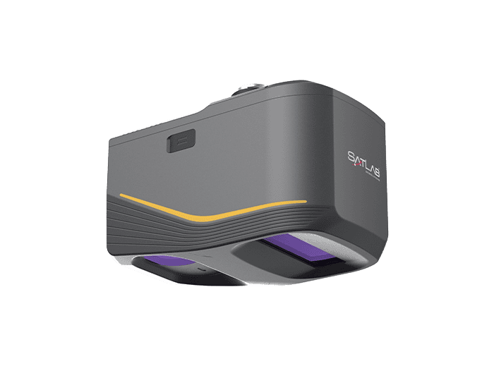
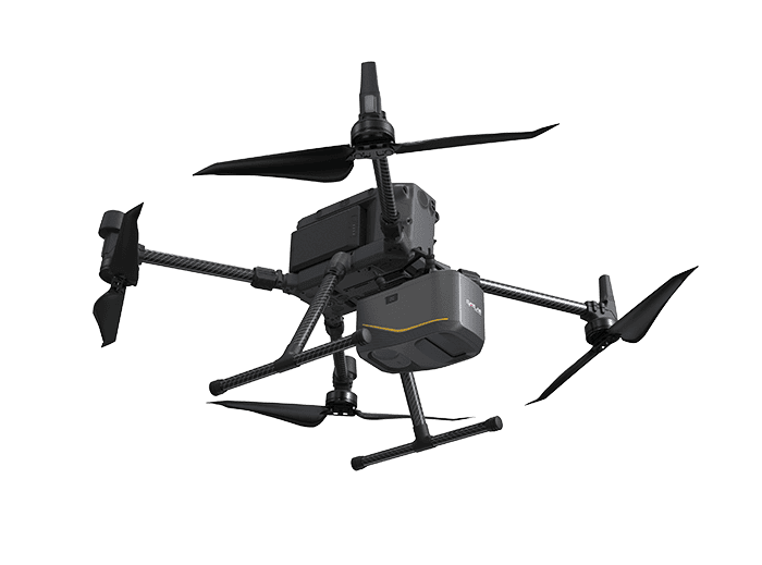
The Apus-MX combines a powerful long-range LiDAR scanner with an advanced IMU and an industrial-grade 45 MP RGB orthographic camera to provide a highly portable and rapidly deployable drone-based aerial survey solution. Featuring an 80° field of view and a maximum range of 1200 meters, it can operate at higher altitudes and captures more data in a single flight, enhancing efficiency and cost-effectiveness.
The versatile scanning system can handle complex terrains and significantly varying urban environments with ease, and is also able to penetrate through thick vegetation, making it ideal for creating digital elevation models (DEM) and digital surface models (DSM). It is ideal for a wide range of applications including mapping and surveying, mining and construction, and post-disaster operations.
Specifications:
| Weight: | 1.55 kg |
| System Accuracy: | H & V: 5cm @ 300 m |
| Range Accuracy: | 1.5cm/0.5cm @ 150 m |
| Measuring Range: | 1200 m @ 60% ref |
| FOV: | 80o |
| Returns: | Up to 8 |
| Camera: |
45MP 18 mm focal length 36 x 24 mm sensor size (8192 x 5468) 90.0° x 67.4° |
| GNSS: |
GPS: L1, L2, L5 GLONASS: L1, L2 BEIDOU: B1, B2, B3 GALILEO: E1, E5a, E5b |





