


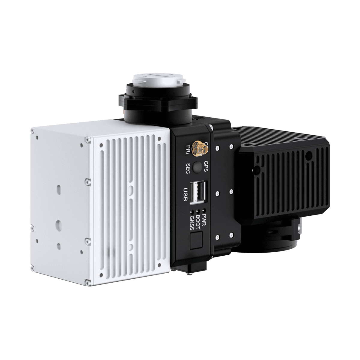
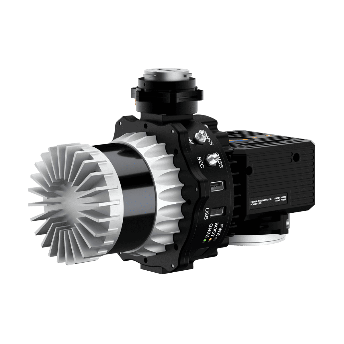
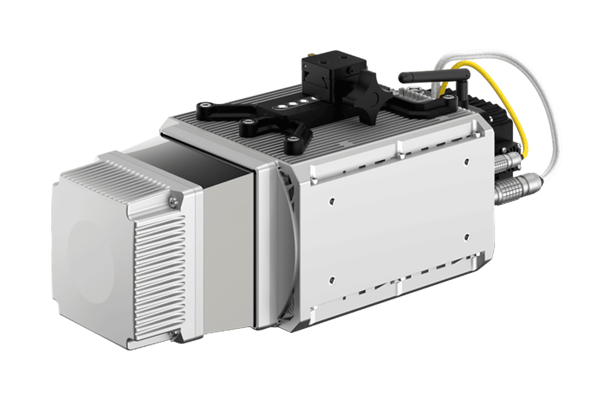
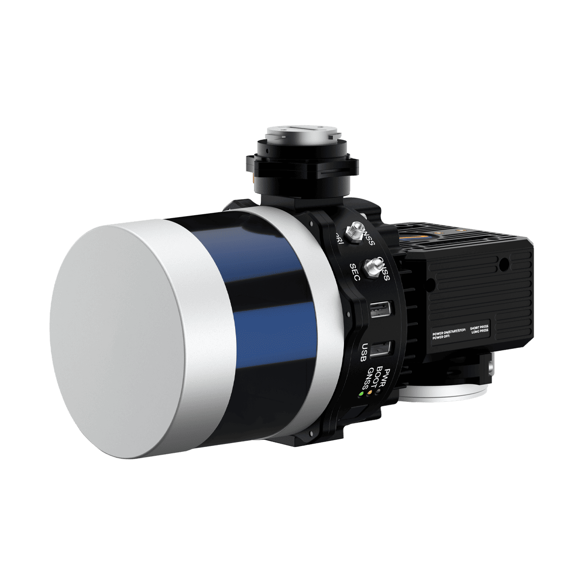
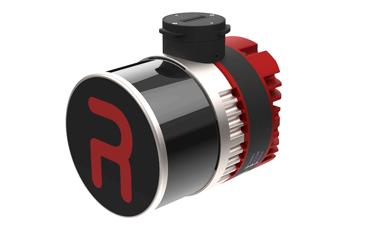
The RESEPI Lite range of high-accuracy LiDAR point cloud generation solutions is designed for Inertial Labs partners and resellers to white-label, allowing them to customize both the hardware and software with their own branding and focus on their core competencies without worrying about additional development.
Built around a Linux-based processing platform, the modular systems include Inertial Labs’ own high-performance single- or dual-antenna GPS-aided inertial navigation systems (INS) with high-end RTK/PPK GNSS receivers, as well as Wi-Fi communications and an embedded cellular modem for in-flight RTCM RTK corrections.
Thanks to Inertial Labs’ cutting-edge orientation and positioning technology, RESEPI produces extremely thin point clouds even at a high AGL. RESEPI’s software suite features fully-automated RTK LAS file generation, as well as a one-click command line interface for post-processing.
| Ultra LITE | LITE XT-32 | LITE XT32M2X | |
| LiDAR Scanner | Hesai | Hesai | Hesai |
| Dimensions (cm) | 13.1 x 11.2 x 10.3 | 20.8 x 17 x 14.2 | 20.8 x 16.5 x 14.2 |
| Weight | 1.1 kg w/camera | 1.7 kg w/camera 1.3 kg w/o |
1.4 kg w/camera 1 kg w/o |
| Power | 14.5W | 17W | 17W |
| Vertical Accuracy | 2-3cm | 2-3cm | 2-3cm |
| Precision | 2-4cm | 2-4cm | 2-4cm |
| Recommended AGL | Up to 100m | Up to 100m | Up to 150m |
| Max Flight Time | 35 mins (DJI M350) | 33 mins (DJI M300) | 33 mins (DJI M300) |
| LITE AVIA | LITE OS1-64 | LITE CL-360HD | LITE VLP-32C | |
| LiDAR Scanner | Livox | Ouster | Teledyne | Velodyne LiDAR |
| Dimensions (cm) | 20 x 13 x 9.2 | 20.6 x 16.5 x 14.2 | 36.9 x 16.0 x 15.5 | 21.9 x 14.2 x 14.2 |
| Weight | 1.2 kg w/camera 0.9 kg w/o |
1.4 kg w/camera 1 kg w/o |
4.3 kg w/o camera | 1.8 kg w/camera 1.4 kg w/o |
| Power | 16W | 23W | 42W (@ 100 Hz) 47W (@ 250 Hz) |
16W |
| Vertical Accuracy | 3-5cm | 3-5cm | 1-2cm | 3-5cm |
| Precision | 4-5cm | 4-6cm | 1-2cm | 4-6cm |
| Recommended AGL | Up to 85m | Up to 100m | Up to 200m | Up to 100m |
| Max Flight Time | 33 mins (DJI M300) | 33 mins (DJI M300) | 23 minutes (DJI M600, TB48S batteries) | 33 mins (DJI M300) |


