Showcase your capabilities
If you design, build or supply Hyperspectral Cameras, create a profile to showcase your capabilities and connect with visitors who have an active requirement for your solutions.


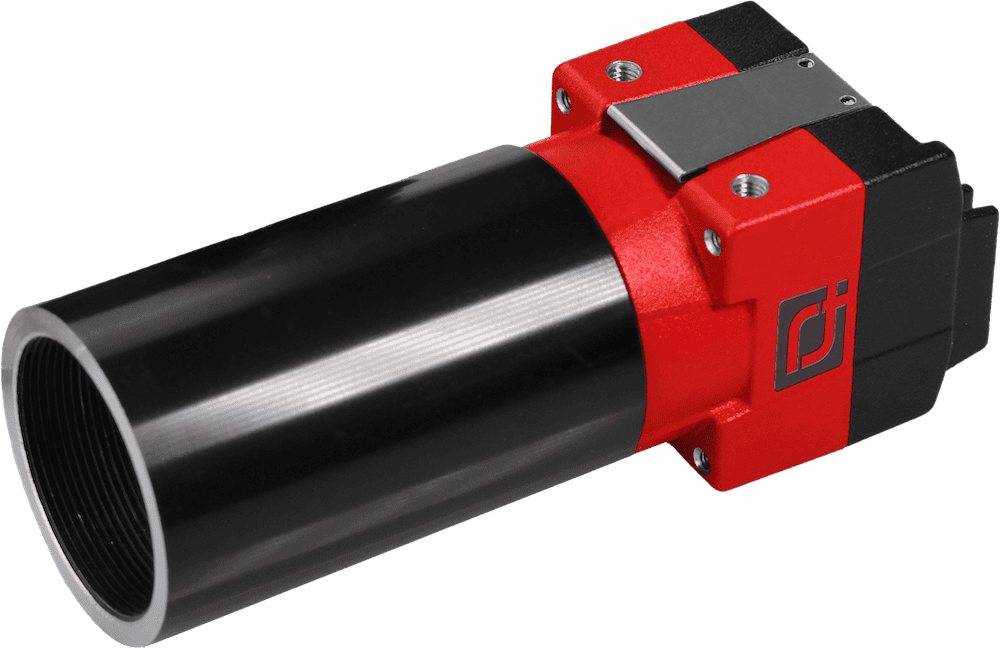
Hyperspectral cameras capture data across hundreds of spectral bands. These advanced imaging sensors go far beyond standard visual and multispectral systems, enabling high-resolution material identification, anomaly detection, and mapping at an unprecedented level of detail. Deployed on aerial, underwater, ground, and surface platforms, hyperspectral imaging technology is now widely used across applications such as precision agriculture, infrastructure inspection, search and rescue, and environmental monitoring.
Read the Technology Overview
Cutting-Edge Hyperspectral Camera Solutions - Critical Real-Time Insights for UAV-Based Applications
If you design, build or supply Hyperspectral Cameras, create a profile to showcase your capabilities and connect with visitors who have an active requirement for your solutions.

Hyperspectral cameras are imaging systems that capture light across a wide spectrum of wavelengths, typically from the visible to near-infrared (VNIR) or short-wave infrared (SWIR) ranges. Unlike conventional video cameras, which record data in three bands (red, green, blue), hyperspectral sensors collect detailed spectral information from dozens to hundreds of contiguous wavelength bands. This allows them to generate a hyperspectral cube, a three-dimensional dataset where each pixel contains a full reflectance spectrum.
This rich spectral data enables identification of materials, detection of subtle changes, and analysis of environmental and biological conditions that are invisible to the naked eye or even traditional multispectral systems.
While video cameras and multispectral sensors are helpful for many general-purpose applications, hyperspectral imaging offers a much higher spectral resolution. Here’s how these technologies differ:

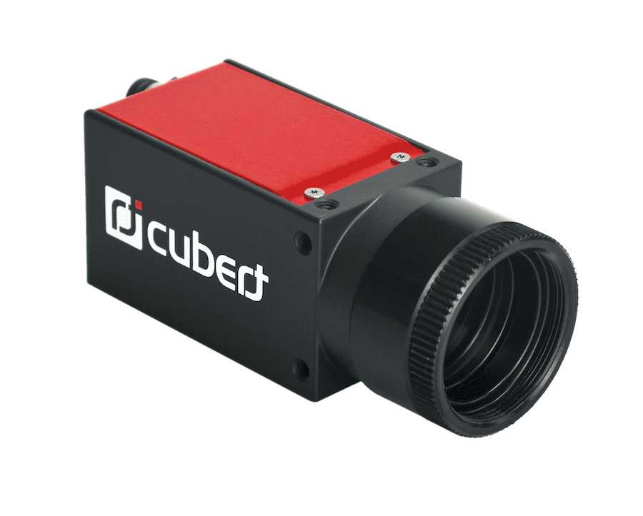
ULTRIS X20 Plus by Cubert.
Hyperspectral cameras are engineered for specific platforms and operational constraints, such as size, weight, spectral range, and spatial resolution. The main types include:
Camera selection depends on the mission’s imaging requirements and the unmanned system’s size and power constraints.
Hyperspectral imaging is increasingly used across a wide range of sectors, driven by its ability to identify materials, classify objects, and monitor environmental conditions with high precision.
Mounted on agricultural drones, hyperspectral cameras can assess vegetation indices, detect crop stress, monitor soil composition, and differentiate plant species. These systems support early detection of pests and diseases, optimize irrigation and fertilization, and inform yield prediction. Compared to standard multispectral drones, hyperspectral systems offer superior differentiation of plant health conditions, contributing to more precise and efficient farming practices.
Hyperspectral imaging provides critical environmental monitoring data for atmospheric research, forest management, pollution tracking, and water quality assessment. When deployed on fixed-wing drones, UAVs, or unmanned surface vehicles, these sensors can detect chemical signatures of contaminants, monitor coastal erosion, or map marine habitats with high ecological relevance.
Survey drones and inspection drones equipped with hyperspectral cameras are widely used for inspecting power lines, pipelines, and aging infrastructure. These systems can detect corrosion, material fatigue, insulation breakdown, or early-stage damage before it is visible. Hyperspectral imagery helps operators prioritize maintenance while minimizing downtime.
In SAR scenarios, hyperspectral sensors can detect anomalies in vegetation or thermal patterns that suggest the presence of missing persons or illicit activity. Drones or tethered balloons with these cameras support wide-area surveillance, particularly in rugged terrain. Similarly, border patrol and military surveillance missions leverage hyperspectral systems for reconnaissance, target identification, and camouflage detection.
In mineral exploration, drone hyperspectral cameras help locate ore deposits by identifying spectral signatures of rocks and soils. Archaeological surveying also benefits from hyperspectral imagery, which can reveal ancient features or buried structures based on subtle spectral variations in surface materials.
Autonomous underwater vehicles (AUVs) and inspection ROVs equipped with underwater hyperspectral cameras enable detailed seabed mapping, aquaculture monitoring, and oil spill detection. These sensors enhance maritime patrol and fish stock assessment missions, as well as water quality and sediment analysis.
Choosing the right hyperspectral imaging system for an unmanned platform involves balancing spectral capabilities, spatial resolution, size and weight, data processing needs, and integration flexibility. Key factors include:
Ultimately, the optimal hyperspectral imaging system depends on the mission profile, regulatory requirements, and desired analytical outcomes.

 Searching Companies & Products


 Subscribe to the Weekly eBrief
The latest engineering and technical developments straight to your inbox - join thousands of engineers who receive it.
Subscribe to the Weekly eBrief
The latest engineering and technical developments straight to your inbox - join thousands of engineers who receive it.