Cubert, a developer of hyperspectral camera solutions for UAV-based remote sensing applications, provides a detailed overview of the ULTRIS X20 Plus camera for advanced aerial imaging.
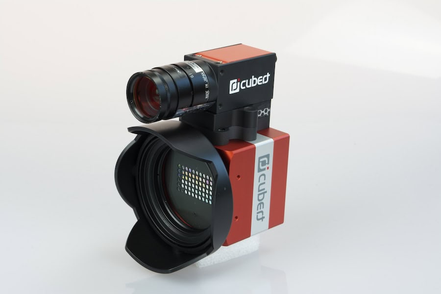
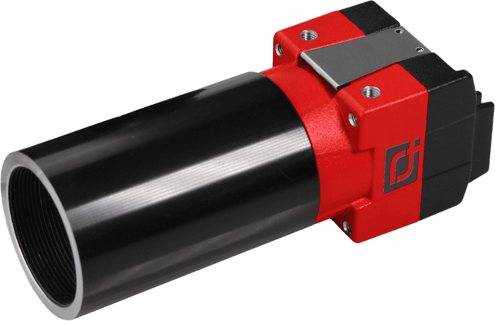
The ULTRIS X20 Plus incorporates innovative imaging features, including Light Field Dual-Sensor technology and a Global Shutter for distortion-free captures. The system provides a 12-bit data depth for high information density and maintains consistent 10 nm FWHM across all spectral bands.
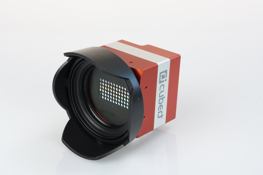
The hyperspectral camera’s integrated dual sensor technology consists of 164 spectral bands (350-1000 nm) for detailed material analysis, panchromatic imaging at 1886 × 1886 pixels for high-definition clarity, pansharpening technology to merge spatial and spectral data.

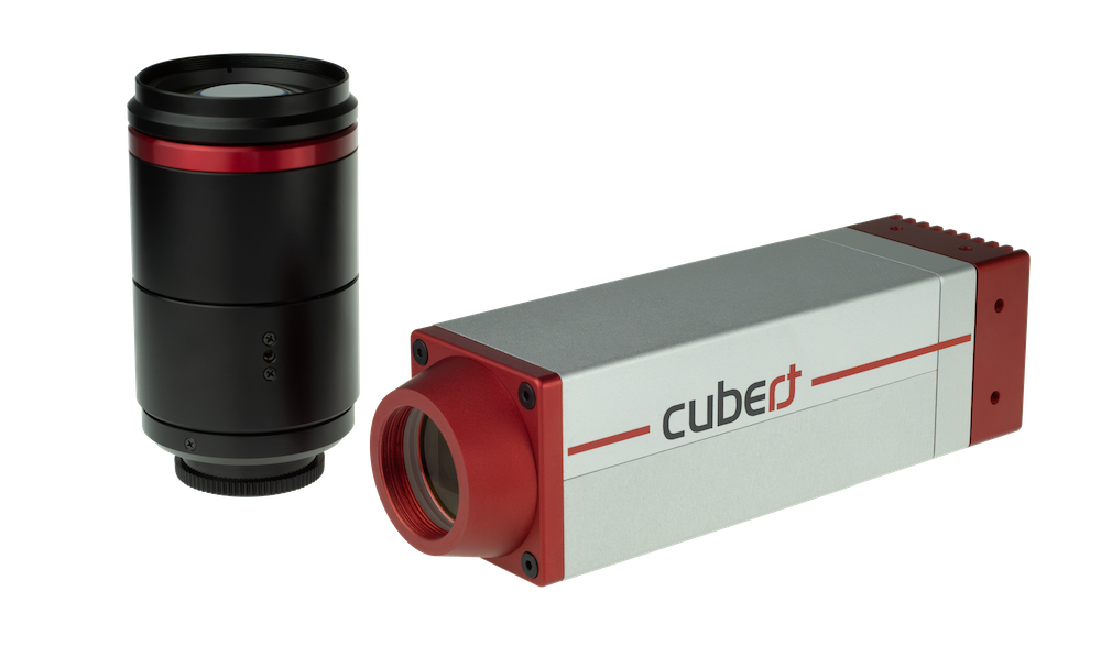
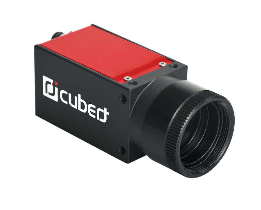
ULTRIS X20 Plus.
These architectures deliver hyperspectral data with previously unattainable high spatial resolution and precision, achieving 1.5 cm per pixel from only 40 meters above a field.
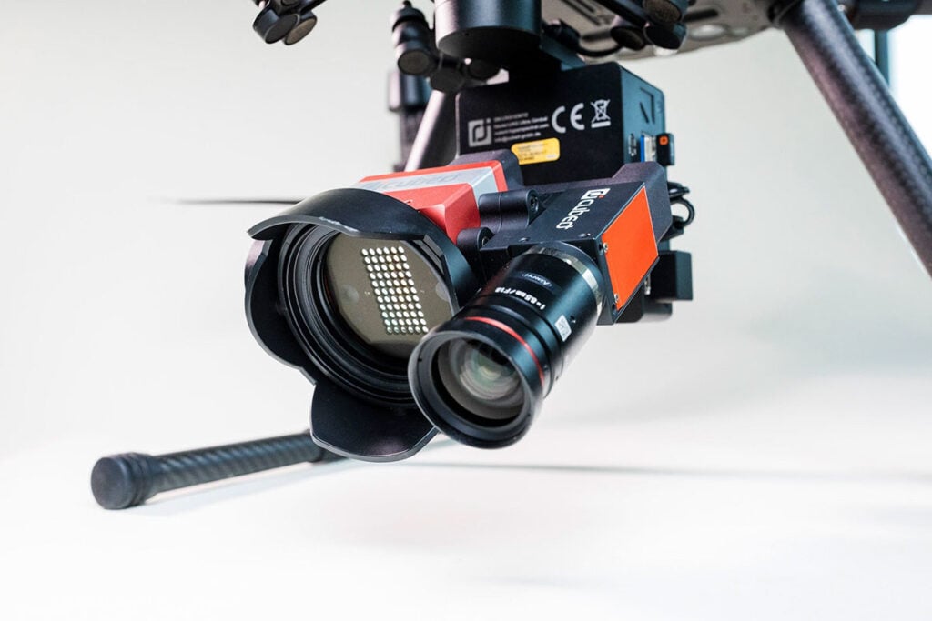
Cubert’s ULTRIS X20 Plus has a lightweight design, weighing only 630 grams. This makes it highly compatible with professional UAV platforms such as the DJI Matrice M300/350 RTK.
The UXG Gimbal, equipped with an integrated Windows mini-PC and direct DJI Skyport interface, is a key component of this camera. These integrations mean each image capture is automatically tagged with RTK GPS data, ensuring real-time precision and efficiency.
The advanced camera solution by Cubert is designed for streamlined data handling and insight generation. It integrates directly with leading GIS and mapping software, and supports ENVI and TIFF exports with complete metadata.
Each capture contains 24.5 million spectral data points, and file sizes remain under 55 MB, enabling efficient processing and fast turnaround from flight to analysis.
Applications across Industries
The versatility of the ULTRIS X20 Plus enables capabilities across a wide range of sectors.
- Precision Agriculture
Detect crop stress early, and optimize irrigation and fertilization strategies. - Industrial Inspection
Identify structural or material anomalies invisible to standard imaging. - Environmental Monitoring
Assess vegetation health, water quality, and soil composition in a single flight. - Research
Support disciplines, such as archaeology and climate studies, through enhanced spatial and spectral precision. - Infrastructure Protection
Monitor borders, energy facilities, and sensitive infrastructure with accuracy for early detection of changes.