


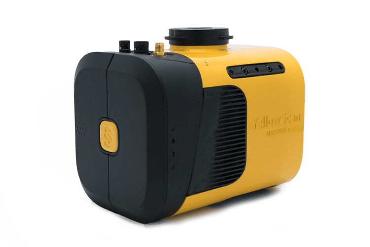
YellowScan Mapper+
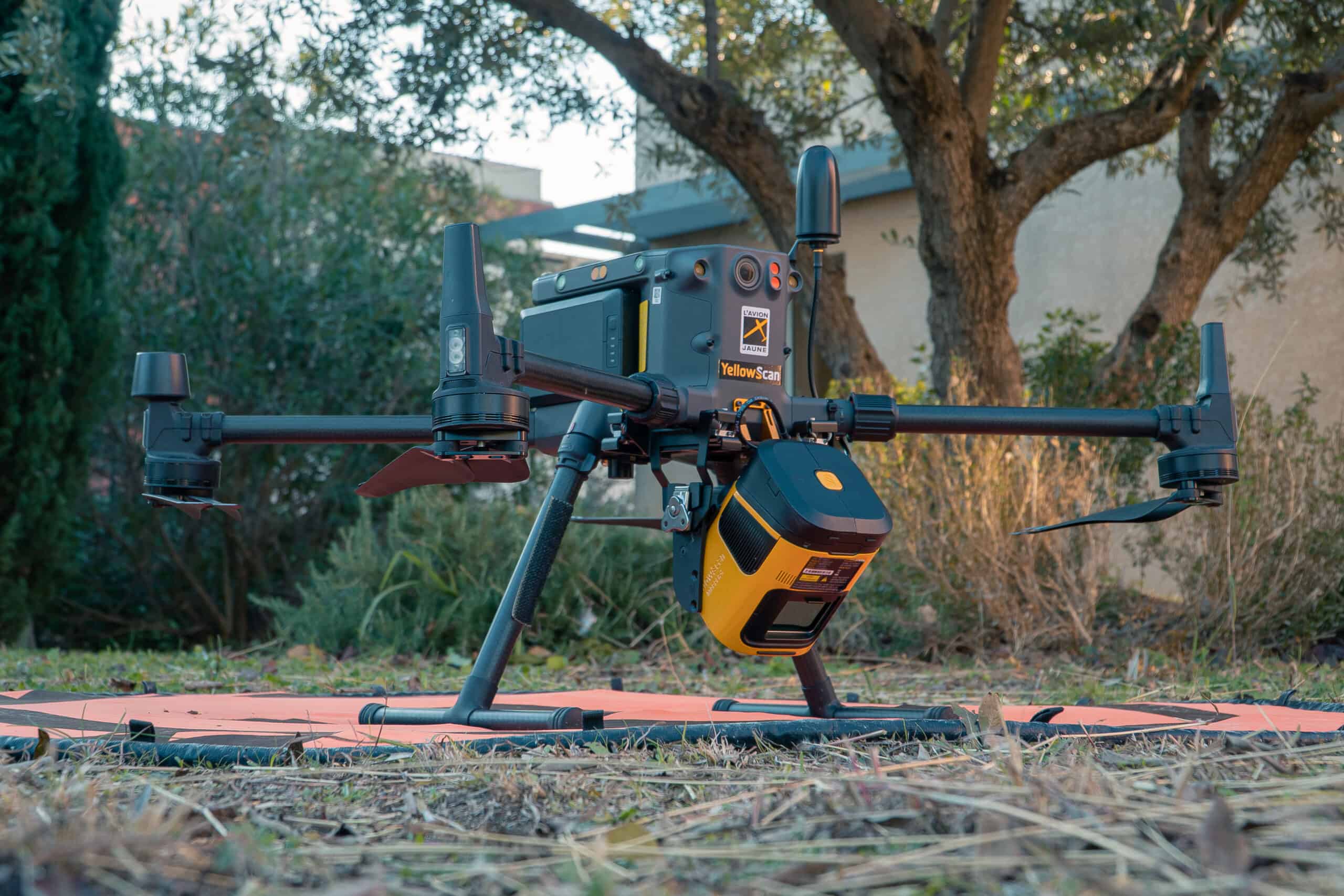
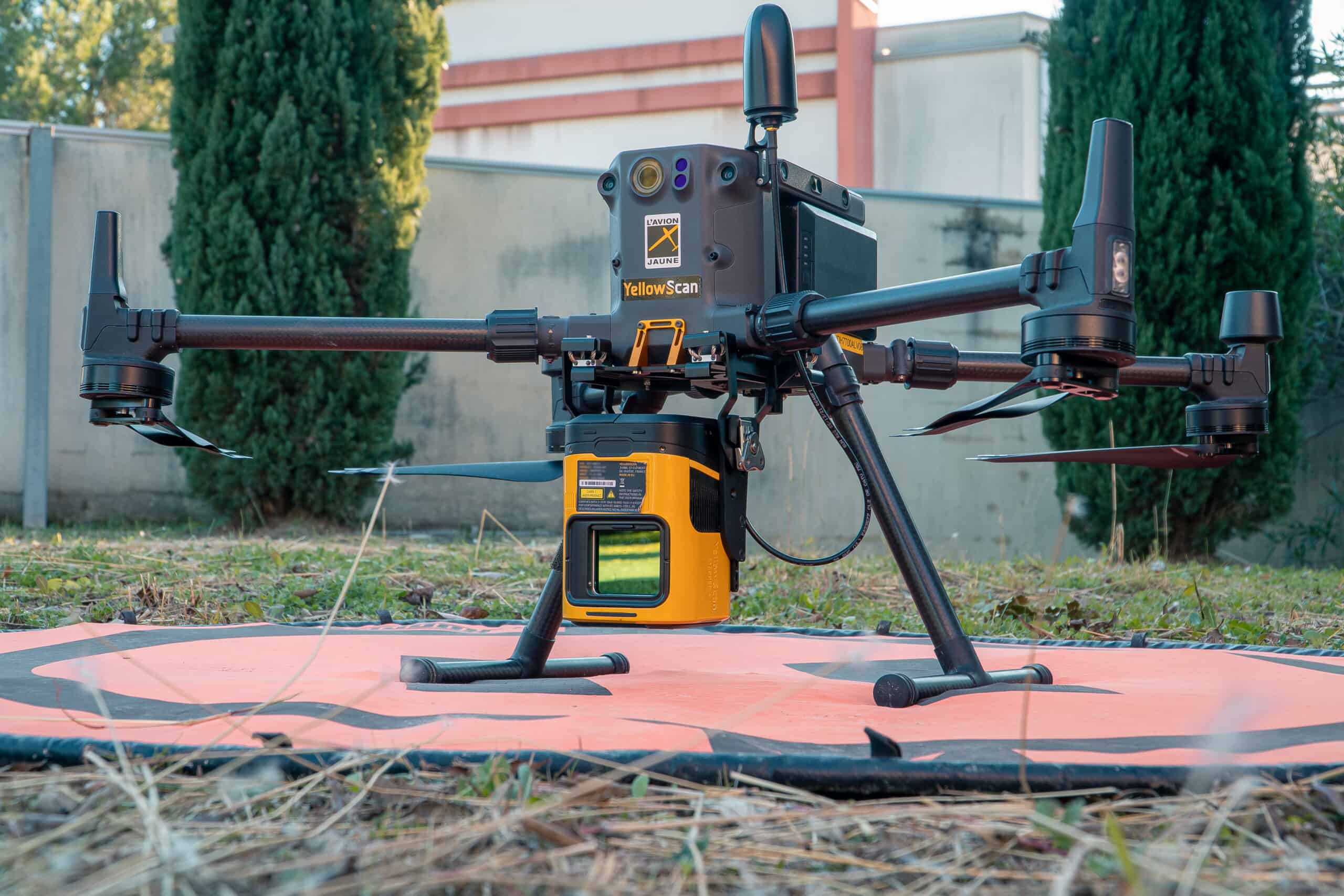
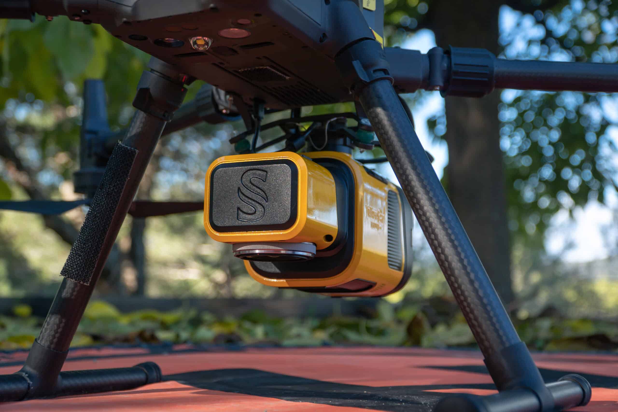
The YellowScan Mapper+ combines a Livox AVIA laser scanner with a high-performance GNSS-aided inertial navigation system into a lightweight, standalone and easy-to-use lidar system.
Advanced performance in a compact UAV LiDAR solution, the highly versatile system can be fitted to almost any UAV, and features a choice of three power methods – DJI Skyport/Gremsy gimbal port, external UAV power source, or the included field-swappable battery. An RGB camera can also be attached concurrently with the laser scanner for dual-sensor operation.
The easy-to-use Mapper+ features single-button operation and convenient data storage and retrieval via USB stick. A single stick can store data from a 3-hour LiDAR survey.
Package includes- YellowScan Mapper +
- Quick release adapter (DJI skyport or Gremsy)
- Charger and 2 batteries
- GNSS antenna and cable
- 2 USB flash drives
- Rugged backpack
- Applanix POSPac UAV software to process GNSS and inertial data for highest accuracy
- YellowScan CloudStation software to generate, visualize, adjust strips, classify, colorize and export your georeferenced point cloud
- 1-year unlimited technical support
- 1-year warranty
- In-person or online training
- Camera & boresight calibration
| Scanner | Livox AVIA |
| Wavelength | 905 nm |
| Precision | 2.5 cm |
| Accuracy | 3.0 cm |
| Shots per second | 240 k |
| Echoes per shot | Up to 3 |
| Scanner field of view | 70.4° |
| GNSS-Inertial solution | Applanix APX-15 UAV |
| Size | L 15 x W 10.4 x H 12.8 cm |
| Autonomy | 1 hour typ. |
| Power consumption | 35 W |
| Weight |
1.1 kg battery excl. 1.3 kg battery incl. |
| Operating temperature | -20 to +40 °C |


