YellowScan launched the Venturer at the recent Geo Week 2026, February 16-18, Denver, Colorado, an advanced LiDAR system engineered specifically for missions requiring high levels of precision, security, and operational adaptability.
The LiDAR solution is for operators who prioritize data-sovereign hardware and restricted operational access. By ensuring all data remains secure and under the operator’s direct control through fully local data processing, the Venturer aims to eliminate uncertainty in sensitive environments. The hardware is designed to reduce integration overhead and increase reliability while maximizing return on investment for professional surveyors.
The Venturer is built to be NDAA-compliant, meaning all data processing is handled locally via YellowScan CloudStation, the company’s proprietary software. This architecture ensures compliance by eliminating external dependencies or the need for cloud-based offloading. For physical operation, the unit features the Yellow Touch display, which provides immediate visibility on system status and mission readiness to ensure professionals can focus on delivering verifiable, high-accuracy results.
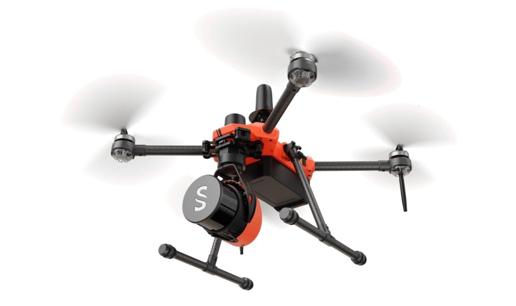
Technically, the system is characterized by its universal UAV compatibility, allowing it to integrate seamlessly with a wide range of professional unmanned aerial vehicles. It features agile 360-degree adaptive angle scanning to ensure comprehensive data capture regardless of the environment. To assist with visual data, the Venturer is equipped with dual global shutter embedded cameras providing full LiDAR field of view colorization, though it remains compatible with a broad selection of other camera modules.
The platform also incorporates Trimble Applanix‘s APX-RTX IMU to deliver superior positional accuracy. This combination of local processing and high-grade internal components allows operators to maintain full control of their data from capture to final output.