


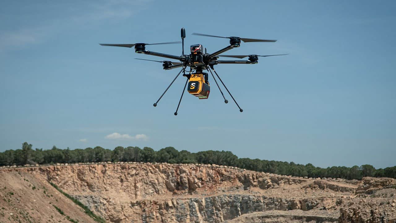
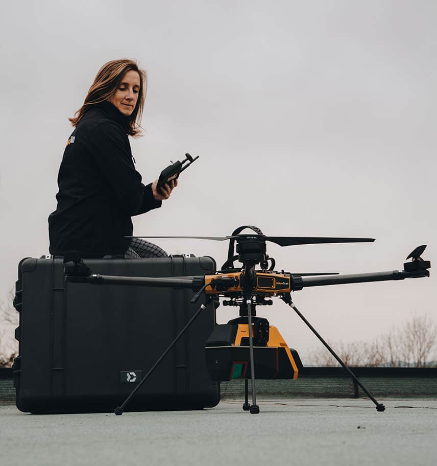

YellowScan Voyager
The YellowScan Voyager is a powerful UAV LiDAR scanning solution designed to capture complex and vertical targets, and can be configured to suit a variety of different platforms and mission requirements.
The Voyager is our longest-range LiDAR solution, with a range of up to 440m. Its laser scanner’s wide field of view of 100° and its extremely fast data acquisition rate of up to 2.4 MHz, makes this solution the best option for projects requiring the highest point density.
Package includes- YellowScan Voyager
- Rugged pelicase
- Charger and 2 batteries
- GNSS antenna and cable
- 2 USB flash drives
- Documentation
- Applanix POSPac MMS software to post-process GNSS and inertial data for highest accuracy
- YellowScan CloudStation software to generate and visualize your georeferenced pointcloud
- 1-year unlimited technical support
- 1-year warranty
- In-person or online training
- Boresight calibration certificate
| Scanner precision | 0.5 cm |
| Scanner accuracy | 1 cm |
| Laser scanner | RIEGL VUX-120²³ |
| Laser Pulse Repetition Rate | Up to 2.4 MHz |
| Laser Pulse Repetition Rate | Up to 2.4 MHz |
| Echoes per shot | Up to 32 |
| Wavelength | Near infrared |
| Range | Up to 440 m |
| Scanner field of view | 100° |
| GNSS-Inertial solution | Applanix APX-20 UAV or AP+ 50 AIR |
| Size | L 36.9 x W 11.7 x H 18.3 cm |
| Autonomy | 1 hours typ. |
| Power consumption | 55 W |
| Operating temperature | -10°C to +40°C |
| Weight |
3.3 kg (7.3 lbs) battery excluded 3.7 kg (8.2 lbs) battery included |


