LiveStation
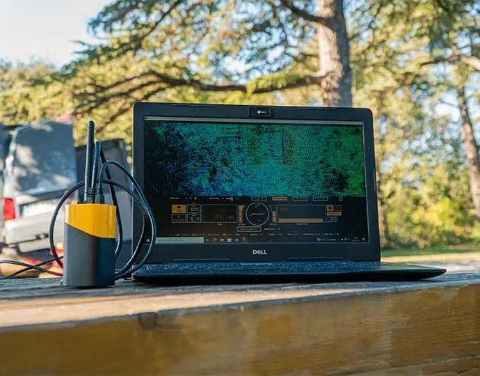
YellowScan LiveStation is a software solution for professional drone surveyors that enables the real-time monitoring of data validity and quality during complex and long-endurance UAV LiDAR flights.
Designed to work with YellowScan LiDAR systems, it provides a live 3D visualization of the gathered pointcloud during flight, and allows users to zoom, translate and rotate. A highly useful transect view allows operators to easily verify whether the LiDAR can penetrate vegetation or forest canopies and sample the ground.
The intuitive user interface provides a comprehensive status summary, including speed and altitude, IMU and GNSS data, and radio signal. Missions can be replayed later for further analysis of flight conditions and data.


