


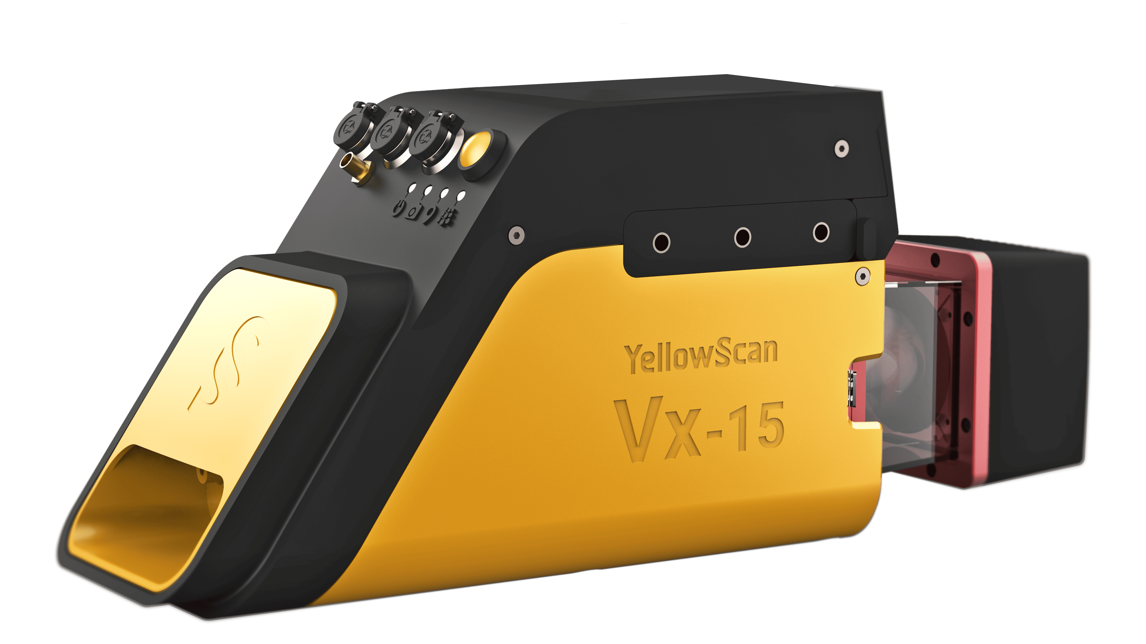
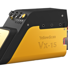
YellowScan Vx15 Series
The YellowScan Vx15-100 is a long-range, high-precision UAV LiDAR mapping solution, incorporating a Riegl Mini-VUX LiDAR sensor and an Applanix APX-15 UAV GNSS-Inertial system for highly accurate point cloud production.
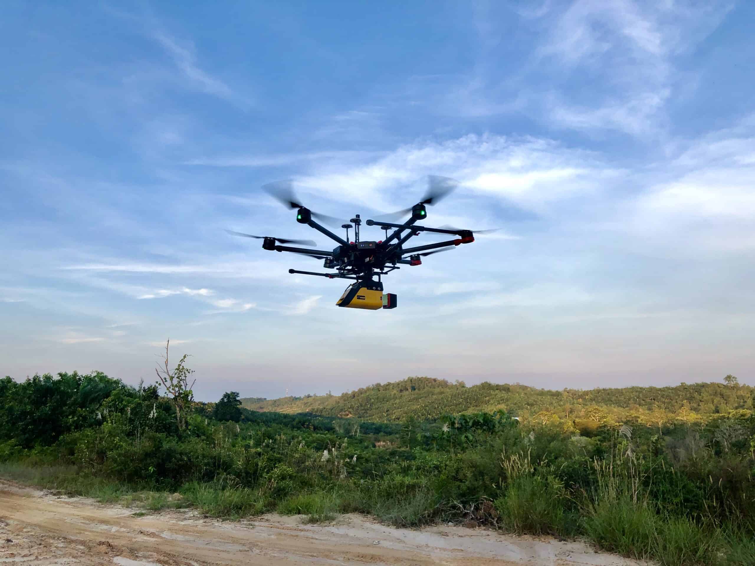
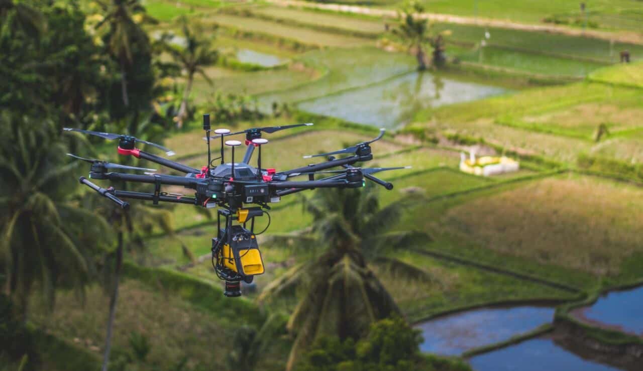
Ideal for VTOL UAVs and unmanned helicopters, the fully integrated easy-to-use system provides rapid and fully autonomous data gathering with short processing times.
The compact, lightweight UAV LiDAR package provides survey-grade precision and accuracy even with demanding mapping and surveying targets such as uneven landscapes and vegetation.
System integration options- Vx15-100 Scanner : RIEGL miniVUX-1UAV
- Vx15-300 Scanner : RIEGL miniVUX-3UAV
- YellowScan Vx15-100 / 300
- Rugged pelicase
- Charger and 2 batteries
- GNSS antenna and cable
- 2 USB flash drives
- Documentation
- Applanix POSPac UAV software to post-process GNSS and inertial data for highest accuracy
- YellowScan CloudStation software to generate and visualize your georeferenced point cloud
- 1-year unlimited technical support
- 1-year warranty
- In-person or online training
- Boresight calibration certificate
| Precision | 1 cm |
| Accuracy | 5 cm |
| Echoes per shot | Up to 5 |
| Laser wavelength | 905 nm |
| GNSS-Inertial solution | Applanix APX-15 UAV |
| Shots per second | 100k over 360° |
| Scanner field of view | 360° |
|
Operating Flight Altitude AGL natural targets ≥ 20% |
100m |
|
Average point density @50m AGL, 5m/s, 90°FOV |
50pts/sqm |
| Weight | 2.6 kg (5.7 lbs) battery included |
| Size | L 35 x W 11 x H 17 cm |
| Autonomy | 1.5 hours typ. |
| Power consumption | 25 W |
| Operating temperature | -20 to +40 °C |


