


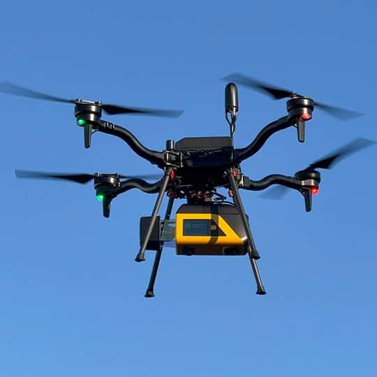
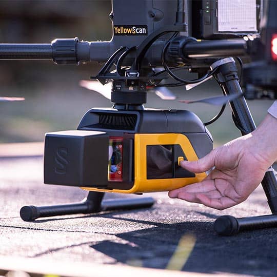
YellowScan Venturer is an NDAA-compliant UAV LiDAR engineered for professional drone mapping and geospatial data collection. Designed for rapid field deployment, the system combines seamless integration with multi-UAV compatibility, enabling operators to transition between platforms without complex configuration workflows. Its architecture supports fully local data processing, allowing teams to retain control of mission data while accelerating turnaround times for deliverables.
Built to achieve survey-grade performance, Venturer integrates a Riegl miniVUX-3 laser scanner with an Applanix APX-RTX 20 GNSS-inertial solution to deliver consistent, high-precision point clouds across diverse terrain types. Flexible scanning modes, including burst operation, support dense data capture in complex environments while maintaining operational efficiency. With a lightweight form factor and broad input voltage range, the system is optimized for unmanned aircraft conducting infrastructure inspection, corridor mapping, topographic surveying, and vegetation analysis.
| Precision | 1.5 cm (0.6") |
| Accuracy | 2.0 cm (0.8") |
| Typical Flight Speed | 5 m/s |
| Typical Flight Height | 100 m |
| Maximum Flight Height | 120 m |
| Point Density | 150 pts/sqm @ 50 m AGL, 5 m/s |
| Laser Range | 150 m |
| Laser Scanner | Riegl miniVUX-3 |
| GNSS-Inertial Solution | Applanix APX-RTX 20 |
| Scanner Field-of-View | 360° (120° in Burst Mode) |
| Echoes per Shot | Up to 5 |
| Shots per Second | 300,000 |
| Scanning Frequency | Up to 100 Hz |
| RGB Camera | Dual embedded global shutter |
| Weight | 2450 g (5.40 lbs), battery excluded |
| Dimensions | L 31.4 x W 12.7 x H 13.2 cm |
| Autonomy | 1 hour (typ.) |
| Power Input | 10–34 V |
| Power Consumption | 50 W |
| Operating Temperature | -10 to +40 °C |


