

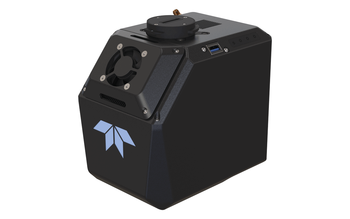
The Teledyne EchoONE is a next-generation airborne LiDAR system designed for high-precision geospatial mapping and unmanned aerial surveys where weight, accuracy, and data fidelity are critical. Weighing only 1.2kg, this compact solution integrates seamlessly with UAV platforms, enabling longer flight times and efficient deployment in challenging environments. Its integrated 5 MP global shutter camera, with an optional 61 MP upgrade, delivers rich, colorized point clouds, while a 90° × 20° wide-angle field of view and four unique vertical scan angles capture dense, reliable data over diverse terrain.
Engineered for demanding survey-grade applications, the EchoONE features 5 mm ranging precision and 1.5 cm georeferenced vertical accuracy, driven by Teledyne’s advanced LiDAR technology. At its core is the Inertial Labs KERNEL-210 tactical-grade IMU, ensuring robust orientation and navigation performance even in dynamic flight conditions. Combining superior accuracy with a rugged, ultra-light design, the EchoONE is ideal for mapping, corridor inspection, forestry, and environmental monitoring missions where data quality and efficiency are paramount.


