


Blue Marble Geographics has released the following article detailing the new features in version 23.1 of the company’s Global Mapper all-in-one GIS software. Global Mapper is ideal for geospatial analysis of data captured by UAVs (unmanned aerial vehicles).
Global Mapper 23.1, which is available in Standard and Pro editions, has been released. These two tiers of Blue Marble’s flagship GIS software are developed in tandem to provide a wide array of data creation, visualization, and analysis tools. The Pro edition expands the program’s functionality to include drone data processing for point cloud creation, advanced lidar and terrain analysis, and more. Click here to download a free trial of Blue Marble’s affordable and comprehensive GIS analysis software.
Global Mapper 23.1 – Standard Edition
Boasting a new 3D viewshed and 3D line visualization capability, expanded Spatial Operations, streamlined data transfer to Global Mapper Mobile, and more, the standard edition of Global Mapper 23.1 packs numerous exciting new updates into this minor version release. The following are some of the key highlights of this new version.
3D Data Visualization
The cutting-edge 3D data processing and visualization tools in Global Mapper include data creation methods and an interactive 3D Viewer. Improvements to 3D data viewing in Global Mapper 23.1 include the creation of 3D viewshed features and the ability to display lines as 3D cylindrical pipe features.
Like with all aspects of the program, the Blue Marble team values user feedback. While viewshed analysis is not a new tool in the program, many users requested the option to see a visualization of a viewshed radius as a hemisphere in a 3D view of their map. Thus, a new checkbox option to Generate View Sphere Buffer has been added to the Viewshed tool in Global Mapper 23.1 to create a 3D mesh feature covering the defined view radius.

3D viewshed buffers show the area of the viewshed as a hemisphere mesh, allowing better visualization of these areas in 3D.
Continuing on the theme of enhanced 3D visualization, the Global Mapper development team also implemented an option to add thickness to a line resulting in a simulated pipe or cylindrical representation of the line in the 3D Viewer. This new style option is set up in the Line Styles for a layer or feature and allows the line width to be specified in ground units (meters or millimeters) and displayed in 3D at that thickness. This enhanced 3D visualization of lines can be used to model pipelines or simply enhance any line feature that is being displayed with 3D data.

A line shown as a pipe in 3D improves the visibility and realistic visualization of the feature.
Expanded Spatial Transforms
Global Mapper’s Spatial Operations tool was first introduced a couple of years ago, and it offers numerous options for analyzing and creating features based on the spatial relationships between overlapping vector features. With each successive release, this powerful analytical tool has seen significant improvements, and this trend continues with the release of version 23.1. As the number of operations and predicates supported in this tool expands, the categories of functions have been split into separate tabs within the Spatial Operations dialog. With this user interface change, a Transforms tab has been added to enable the creation of additional data from a single layer of vector features.
Spatial Transforms operate on a single layer of features. The Grouping selection allows the transform to be performed on the entire layer, each individual feature, or features grouped by attribute values.
Previously, only a few spatial transforms were available in the Spatial Operations tool, and they were only accessible through Spatial Operations Scripting. Bringing these few transforms to a more prominent place in the tool, and adding many more spatial transforms, the Transforms tab of the spatial operations tool now supports data creation tasks such as Minimum Bounding Rectangle, Circle, Center, Centroid, Buffer, Convex Hull, Concave Hull, and Dissolve. Of course, all these new Spatial Operation functions and updates are included in Global Mapper’s Spatial Operations Scripting.
Wireless Data Transfer to Global Mapper Mobile
While Global Mapper operates as a standalone program, Global Mapper Mobile, available for iOS and Android, is a useful partner for taking data into the field and for reference or GPS-enabled data collection. Existing tools in Global Mapper, like Feature Templates and the Global Mapper Mobile Package format, are designed specifically for use with Global Mapper Mobile, but version 23.1 introduces functionality for wireless data transfer streamlining the interaction between the desktop and mobile programs. In previous versions of Global Mapper, transferring data to a mobile device was done via email, a shared drive, or cabled transfer to a connected device. With a new tool dedicated to mobile data transfer in version 23.1, Global Mapper Mobile Package files can be created and wirelessly transferred to nearby mobile devices.

Allowing wireless connection to a mobile device, data transfer from a workspace to Global Mapper Mobile is made easier in Global Mapper 23.1.
Accessed from the Information Toolbar in the Global Mapper software, the new functionality is opened with the Mobile Data Management tool. This new interface consists of two tabs: one for connecting to and managing data on a mobile device, and the other for creating Global Mapper Mobile Package files from the layers in the workspace and existing Feature Templates. The wireless connection to a mobile device requires a minor update to the Global Mapper Mobile app, which is now available for download on the iOS App Store and Google Play Store.
Global Mapper 23.1 – Pro Edition
Containing all the updates and new features in the Standard version of Global Mapper, the Pro edition adds to the program with a set of advanced tool updates. Key new features in version 23.1 include the creation of 3D mesh buffers, contour generation from point cloud data, updates to the segmentation tool, and more!
3D Mesh Buffer Features
The creation of 3D mesh spherical, cylindrical, and pipe buffers is now available in Global Mapper Pro under the digitizer option for Volumetric Feature Creation. Similar to the 2D vector buffer creation, this tool is based on selected vector features. Cylindrical buffers can be generated from any selected point, line, and polygon features, while sphere and pipe volumetric buffers apply to either points or lines only.

Pipe buffers around lines and sphere buffers around points how these road areas and fire hydrant coverage areas interact.
The creation of mesh buffers allow the 3D area around a specific vector object to be clearly identified and explored. As mesh features, the 2D main view in Global Mapper Pro shows the structure of the mesh from an aerial perspective, but the real magic happens in the 3D Viewer when the features can be viewed from any oblique angle.
Contour Generation from Lidar
While not a new function in the Global Mapper program, contour generation has been enhanced in version 23.1 of the Pro edition to support the creation of contour lines directly from lidar or point cloud data. With this new functionality, the intermediate step of manually generating a gridded terrain layer from a point cloud can be bypassed to streamline workflows.
When opening the Contour Generation tool in Global Mapper Pro 23.1, point cloud layers are now recognized and can be used as the source data for creating contour lines. When generating contours from a point cloud, the advanced filtering options, which are available in many other point cloud analysis tools, allow the contours to be derived from a selected subset of the points. In the background, Global Mapper Pro automatically creates an elevation model based on the applied point filtering and resolution noted in the Contour Generation Options, and uses this surface to create a layer of contour lines.
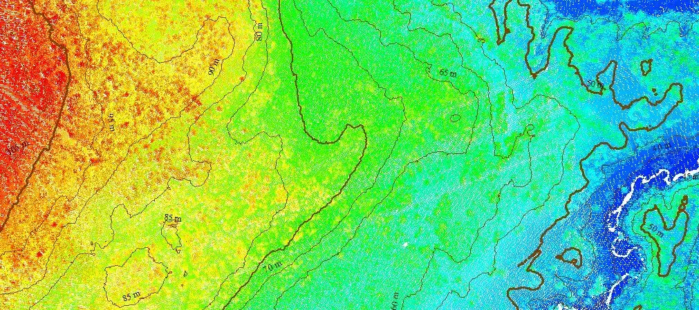
With a point classification filter applied, contour lines are generated from the point cloud.
Updated Segmentation by Spectral Graph Partitioning
The Segmentation tool in Global Mapper Pro is used to identify neighboring points within a point cloud to find distinct features. This streamlines manual classification workflows with an automated process to identify clusters of similar points. While this is not a new functionality in Global Mapper Pro 23.1, it has been improved with options to consider the RGB colors of point returns as part of the identification process, as well as new options to filter or merge identified segments.

Using the Segmentation tool to identify ground, two large segments are merged into one segment that can then be excluded as the tool is used again to identify smaller features.
The new Segment ID(s) Settings option in the Segmentation tool setup can be used to rename individual segments, merge selected segments into one, or exclude specific segments from a subsequent analysis. The option to exclude segments from the next executed iteration of the segmentation tool makes it easier for users to identify large segments, such as the ground or building roofs, and exclude these from subsequent analyses aiming to identify smaller objects.
With many new features and improvements to existing tools in Global Mapper Standard and Global Mapper Pro, version 23.1 further expands the functionality of this powerful, all-in-one GIS program. To explore the updated and new tools, download a 14-day free trial today and contact us if you have any questions!


