


Global Mapper Pro
Global Mapper Pro builds on the base functionality of Global Mapper with a variety of powerful professional tools for editing and processing LiDAR and photogrammetric point cloud data captured by drones. Incorporating all of the point cloud processing functionality available in Global Mapper’s Lidar Module, Global Mapper Pro adds an extensive array of features that perfectly complement and expand the existing software capabilities.
New features available in Global Mapper Pro include:
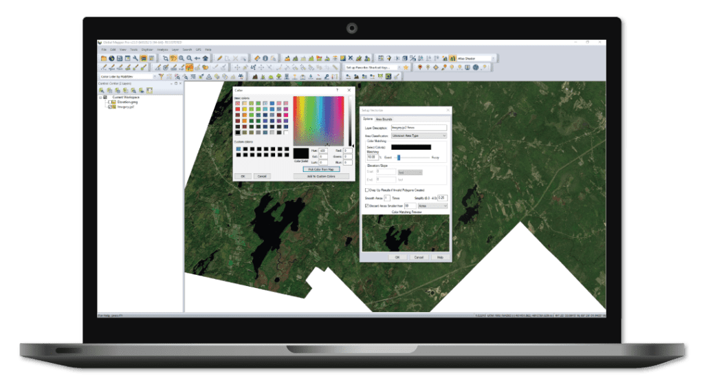
- Terrain painting
- Advanced querying, editing, segmenting, and filtering of LiDAR and 3D point clouds
- Automatic classification of point cloud data including ground, vegetation, buildings, power lines, and poles
- Vector feature extraction from classified point cloud data
- LiDAR noise identification and removal
- Automatic alignment of overlapping point clouds
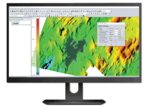
- Visual data analysis of point cloud data, including by local density, height above ground, intensity, and classification
- Pixels to Points – UAV imagery processing for creation of 3D point clouds, orthoimages, and 3D models
- Support for RTK devices and display of satellite constellation
- Support for Python scripting


