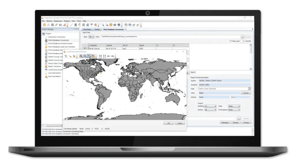
Geographic Calculator
Geographic Calculator is a powerful geodetic software package that provides accurate coordinate conversion, datum transformation, and file translation. Incorporating the largest geodetic parameter database available anywhere, it is an essential tool for UAV surveying as well as for seismic data management and energy exploration.
The intuitive Interactive Conversion feature allows users to select source and destination coordinate systems, enter the coordinates, choose the datum transformation and get results with the click of a button.


