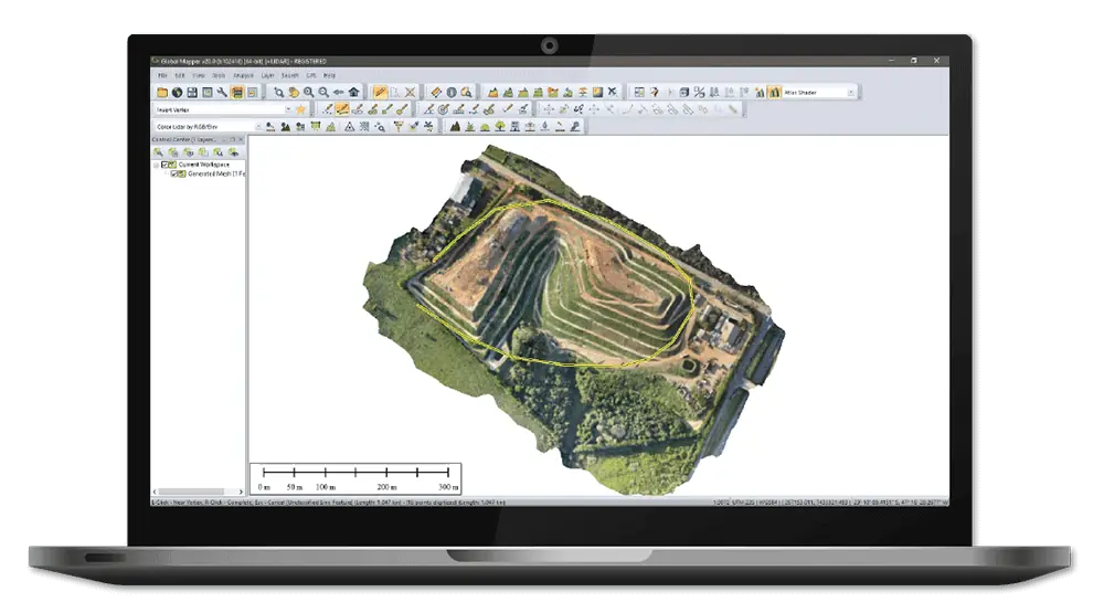
Global Mapper is a state-of-the-art GIS software package that provides comprehensive geospatial data analysis and processing capabilities for novice and experienced geospatial professionals alike. With a highly intuitive user interface and powerful tools, it delivers efficient data processing and management and accurate map creation and is ideal for organizations of any size.
Global Mapper supports over 300 raster, vector, and elevation data types, including common file formats as well as proprietary types, allowing users to get to work right out of the box. The built-in online data function includes direct links to a variety of data services, including one-meter aerial imagery for the U.S., worldwide elevation data, topographic maps, Landsat satellite imagery, and more.
Point Cloud ProcessingThe software is also designed for easy visualizing, editing, and analysis of LiDAR or point cloud data of any format. Enhanced rendering and processing speeds allow users to utilize data from point clouds of almost any size efficiently and effectively. Global Mapper provides access to point cloud file attributes, providing a critical snapshot of essential information for your data processing workflow.
Other advanced features of Global Mapper include:
- Powerful terrain analysis tools for processing and modelling elevation data
- Support for recording HD 3D fly-through videos for powerful visualization of 3D projects
- Reading and writing data from common spatial databases including Esri, MSSQL, MySQL, Oracle, PostGIS/PostgreSQL and SpatiaLite/SQLite
- Geocoding function that allows real-world coordinates to be assigned to an imported database of addresses
- Raster Calculator for multi-band imagery such as NDVI and NDWI
- Objective Terrain Format (OTF) Reader Module for military mapping


