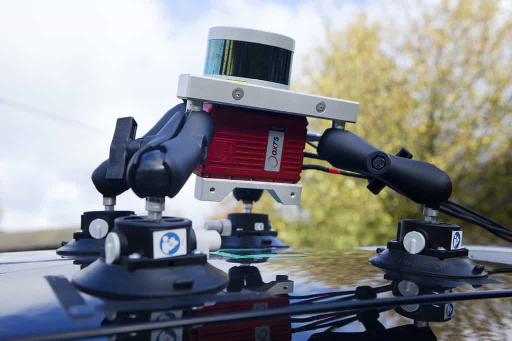
Mapping & GIS News & Articles

Drone Vision Becomes Official Marlyn Drone Distributor in Slovakia

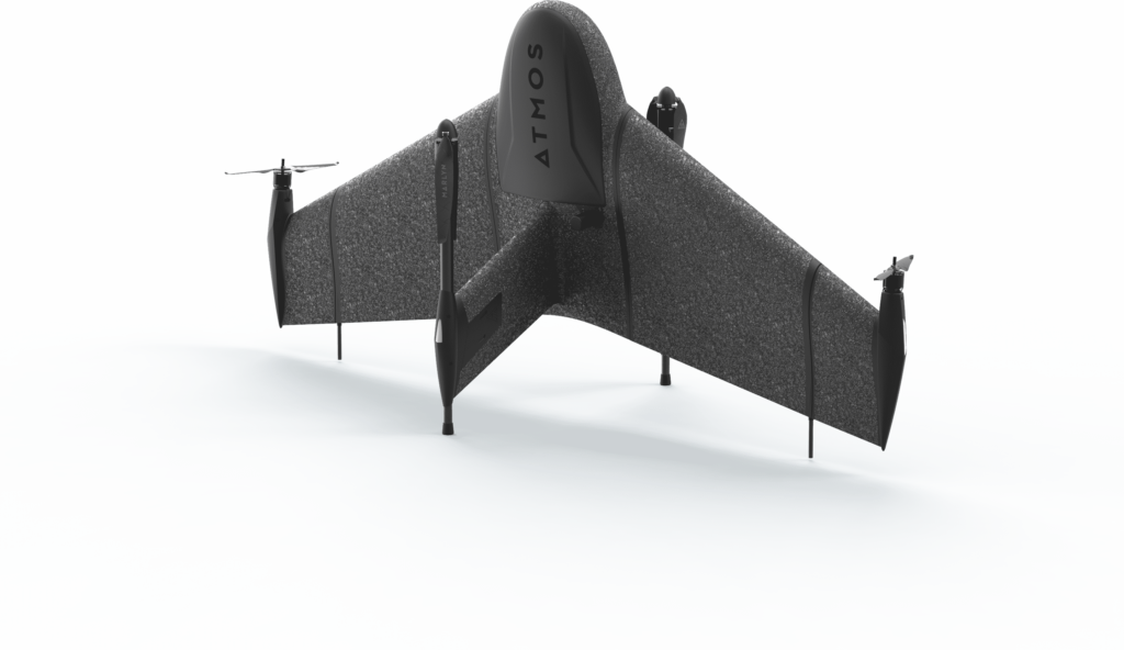
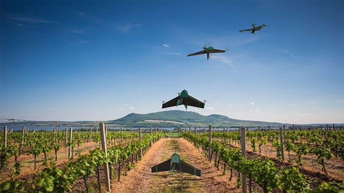
Drone Vision will be responsible for the distribution of Atmos Marlyn drones in Slovakia, and will provide assistance and first-line maintenance services to local operators

Jun 09, 2021
Bynav GNSS/INS Receiver Wins Geospatial Product Award

Bynav Technology has confirmed that its X1 GNSS/INS receiver has won the “Annual Best Reputation Product Award” at the 10th...

May 26, 2021
PolyExplore Launches UAV Mapping System Rental Program

PolyExplore has launched a new rental program for the company’s UAV (unmanned aerial vehicle) mapping and surveying solutions, which pair...

May 25, 2021
Velodyne LiDAR Sensor Selected for Mapping Drone

Velodyne Lidar has entered into an agreement with mobile mapping technology developer AGM Systems to provide its Ultra Puck lidar...

Apr 04, 2021
BVLOS Mapping Drone Built on Acecore Quadcopter

Acecore’s Zoe quadcopter platform has been used by aerial data solutions provider Airobot as the base for their new Zmapper...

Mar 23, 2021
ASEAN Geospatial Community Welcomes GCA to Singapore

The keystone event for the ASEAN geospatial community, Geo Connect Asia (GCA) will be held in Singapore this year in...

Mar 09, 2021
Teledyne CARIS Receives Funding for Remote Ocean Mapping

Teledyne CARIS has received significant funding from Canada’s Ocean Supercluster award to develop software for remote operations survey processing, in...

Feb 11, 2021
Textron Systems Develops UAS Image Processing & Geospatial Data Analysis Software

Textron Systems, a leading developer of data analysis and image processing software for geospatial intelligence, has partnered with Unmanned Systems...

Jan 19, 2021
Autonomous Industrial Imaging and Mapping Drones Introduced

Skyfish has formally launched its new line of advanced autonomous work drone platforms, following an extended period of research and...

Jan 19, 2021
Combining GNSS with Inertial Measurements for Mapping & Surveying

  OxTS has conducted a Q&A interview for Velodyne LiDAR that provides information on how combining LiDAR with GNSS/INS technology...

Jan 07, 2021
New Large-Scale HD Mobile Mapping Solution Introduced

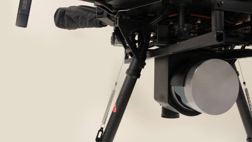
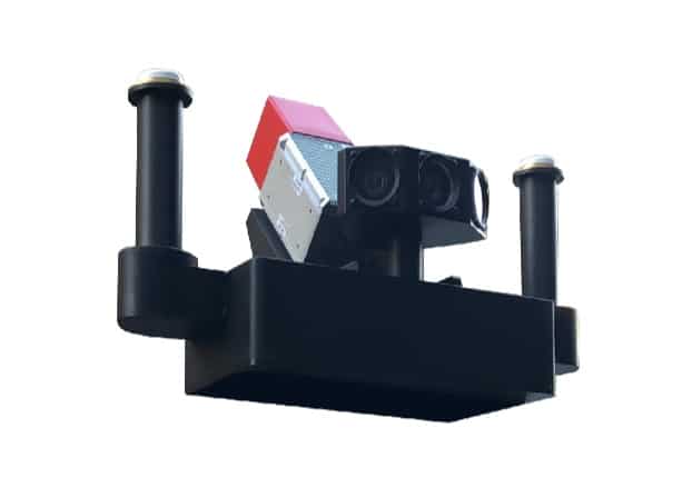
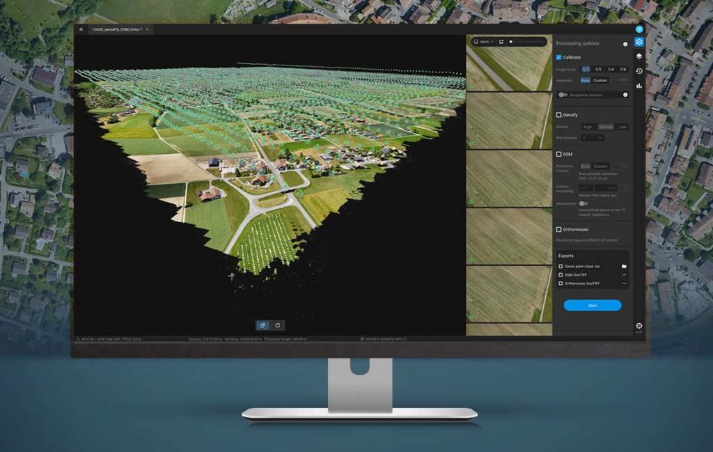
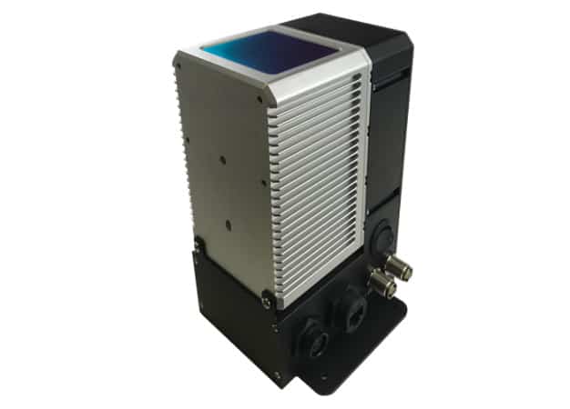
PolyExplore Inc. has introduced the POLYMAPPER HD, a complete solution for high-precision large-scale mobile mapping. The system includes a millimetre-accurate...

Dec 11, 2020
Topcon Partners with Hybrid Mapping Drone Manufacturer

Topcon has entered into partnership with Atmos UAV, a Dutch manufacturer of hybrid VTOL/fixed-wing drones for mapping and surveying. Topcon’s...

Nov 26, 2020
New GNSS Base Station Receiver for Drone Mapping

ComNav Technology has launched a new UAV (unmanned aerial vehicle) mapping solution that utilises the company’s high-accuracy T300 Plus GNSS...

Nov 15, 2020
Webinar: UAV Corridor Mapping with Microdrones

Microdrones is hosting a webinar entitled “Corridor Mapping Made Easy with Microdrones” that will demonstrate how professionals in the surveying,...

Nov 12, 2020
PolyExplore Selects New UK Distributor for Mapping & Navigation Solutions

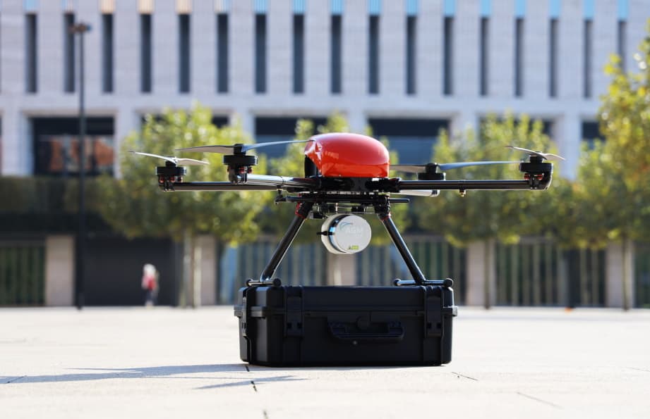
PolyExplore has signed an agreement with UK-based Thurn Group to distribute PolyExplore’s precision GNSS/INS navigation solutions and mobile HD mapping...

Nov 11, 2020
Whitepaper: Point Cloud Generation for UAV Mapping and Scanning

Inertial Labs has released a whitepaper outlining the generation of point clouds with a LiDAR or other laser scanner for...

Oct 15, 2020
Case Study: High-Accuracy Drone LiDAR Mapping with INS

OxTS has released a case study detailing how the company’s xNAV250 miniature inertial navigation system (INS) was used to provide...

Oct 13, 2020
Photogrammetry Software Released for Large-Scale UAV Mapping

Pix4D has released Pix4Dmatic, a new digital photogrammetry software package designed for accurate and fast corridor and large-scale UAV (unmanned...

Sep 24, 2020
PolyExplore Unveils High-Precision UAV LiDAR Mapping System

PolyExplore has unveiled the Polyscanner LS1, a high-precision LiDAR mapping system designed for UAVs (unmanned aerial vehicles) and other aerial...

Sep 22, 2020
YellowScan Develops Long-Range UAV LiDAR Mapping Solutions

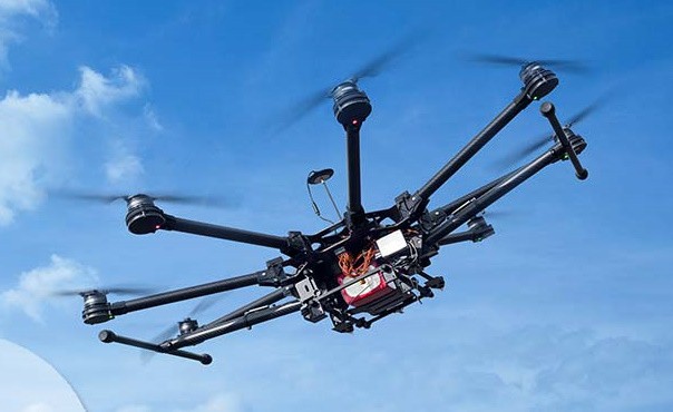
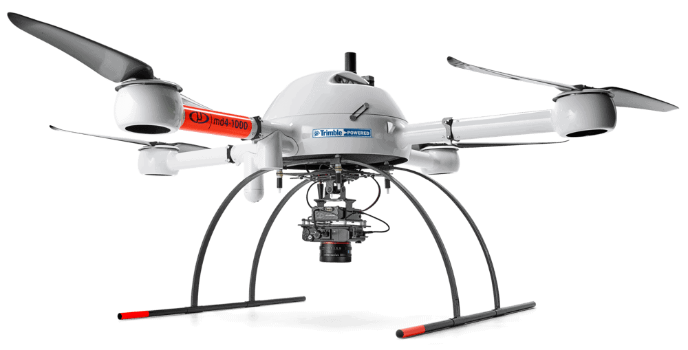
YellowScan, a leading developer of professional integrated UAV (unmanned aerial vehicle) LiDAR surveying solutions, has partnered with Unmanned Systems Technology...

Sep 10, 2020
High-Resolution UAV LiDAR Sensor for Corridor Mapping Introduced

Teledyne Optech has introduced the CM2000, the latest addition to its Galaxy family of LiDAR sensors for UAVs (unmanned aerial...

Aug 30, 2020
Velodyne Lidar Sensors Integrated into Next-Generation UAV Mapping Systems

Velodyne Lidar’s sensors have been integrated into two of YellowScan’s new generation of mobile mapping systems that are designed to...

Aug 13, 2020
USV Performs Multibeam Mapping of River Terrain

OceanAlpha’s ME120 autonomous unmanned surface vessel (USV) has been used to perform an underwater topographic survey of the Qiankun Bay...

Aug 01, 2020
Velodyne LiDAR Technology Integrated into Drone Mapping Payload

Velodyne Lidar’s Puck LITE LiDAR sensor has been integrated as the primary perception and mapping sensor in Emesent’s Autonomy Level...

Jul 30, 2020
Precision Localization and Mapping for Autonomous Outdoor UGVs

Xsens has released a case study showcasing how its MTi-30 AHRS (Attitude and Heading Reference System) has been integrated into...

Jul 28, 2020
Drone Mobile Mapping in GPS-Denied Environments

LORD Microstrain’s inertial sensors have been incorporated into Emesent’s Hovermap payload, which has been designed to enable drones to carry...

Jul 25, 2020
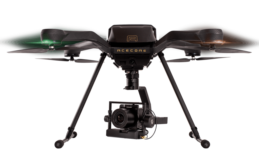
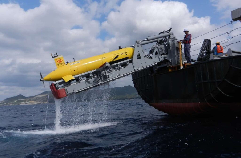
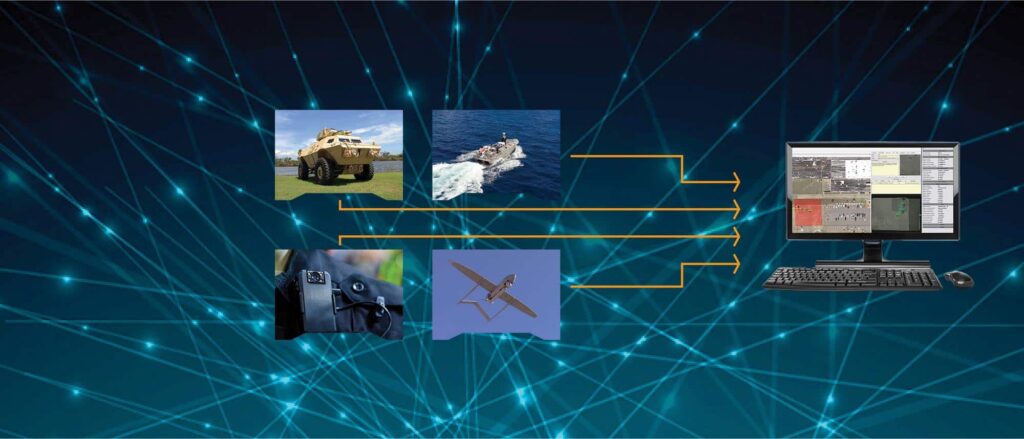
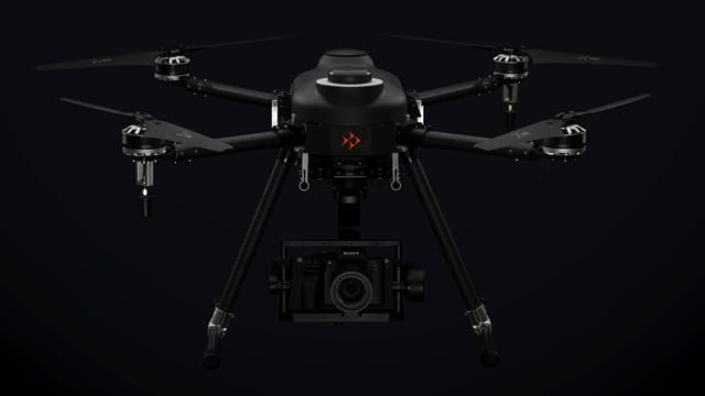
Advancing Unmanned Systems Through Strategic Collaboration UST works with major OEMs to foster collaboration and increase engagement with SMEs, to accelerate innovation and drive unmanned systems capabilities forward.