


Mapping Drones
Discover cutting-edge solutions from 16 leading global suppliers
SUPPLIER SPOTLIGHT

The new rental program offers 3 month, 6 month and 1 year terms, as well as the option to purchase a system outright. In addition to hardware, the PolyFusion post-processing software is also available either from PolyExplore or DroneDeploy, with a yearly license or as a per-project service.
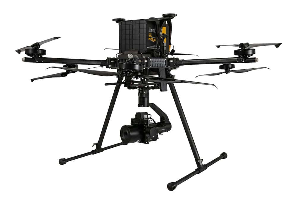
The following hardware options are available for rental, all including the DJI M600 drone:
- Polyscanner LM16 (w/ Velodyne VLP-16 LiDAR)
- Polyscanner LM32 (w/ Velodyne VLP-32C LiDAR)
- Polyscanner LM16C (w/ Velodyne VLP-16 LiDAR and 9MP camera)
- Polyscanner LM32C (w/ Velodyne VLP-32C LiDAR and 9MP camera)
- Polyscanner LS1 (w/ Livox LiDAR)
To find out more about PolyExplore’s new rental program for UAV mapping and surveying systems, click here.


