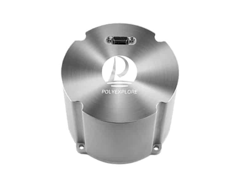
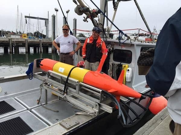
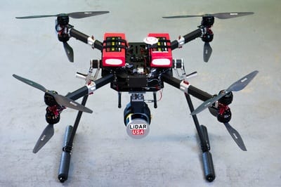
Polynesian Exploration has announced the launch of the Polynav2000F, a high-performance GNSS-aided fiber optic gyroscope (FOG)-based Inertial Navigation System (INS)...
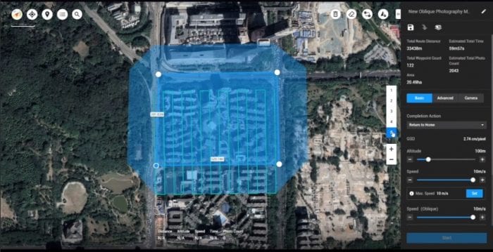
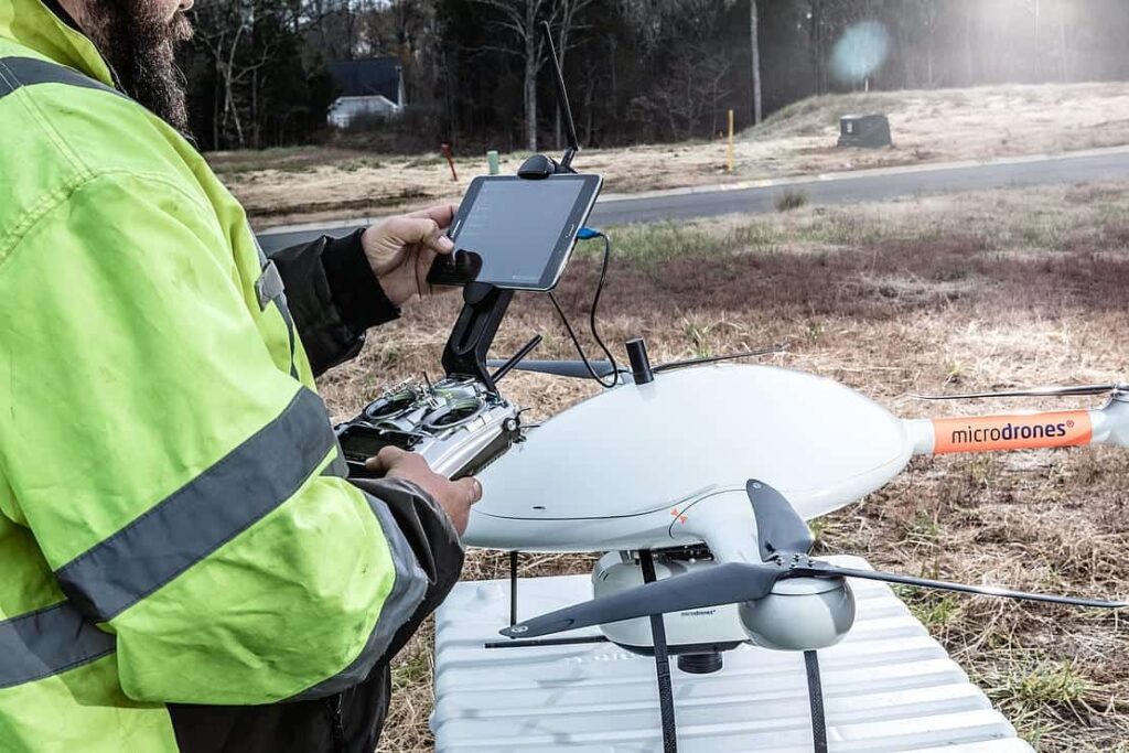
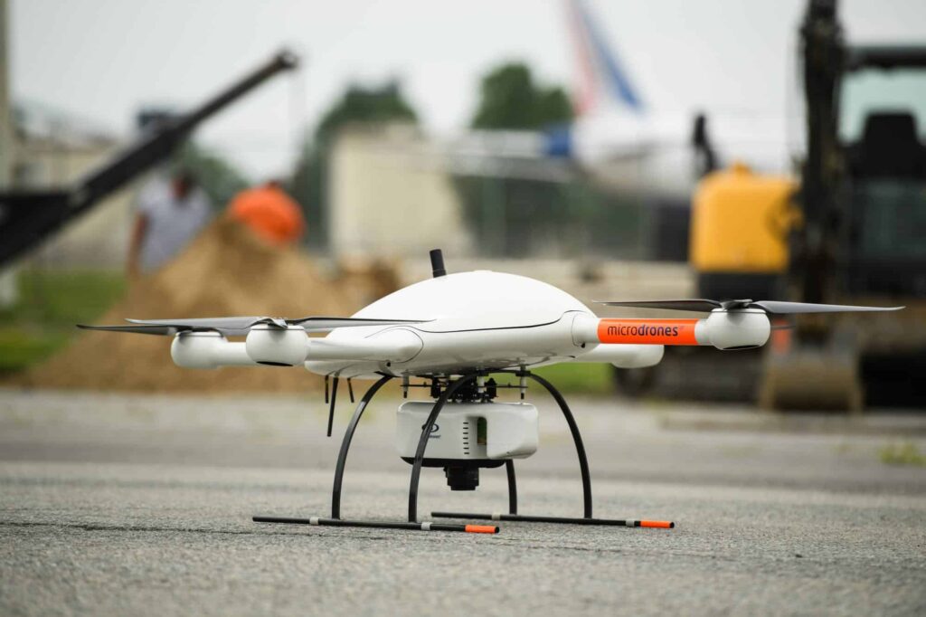
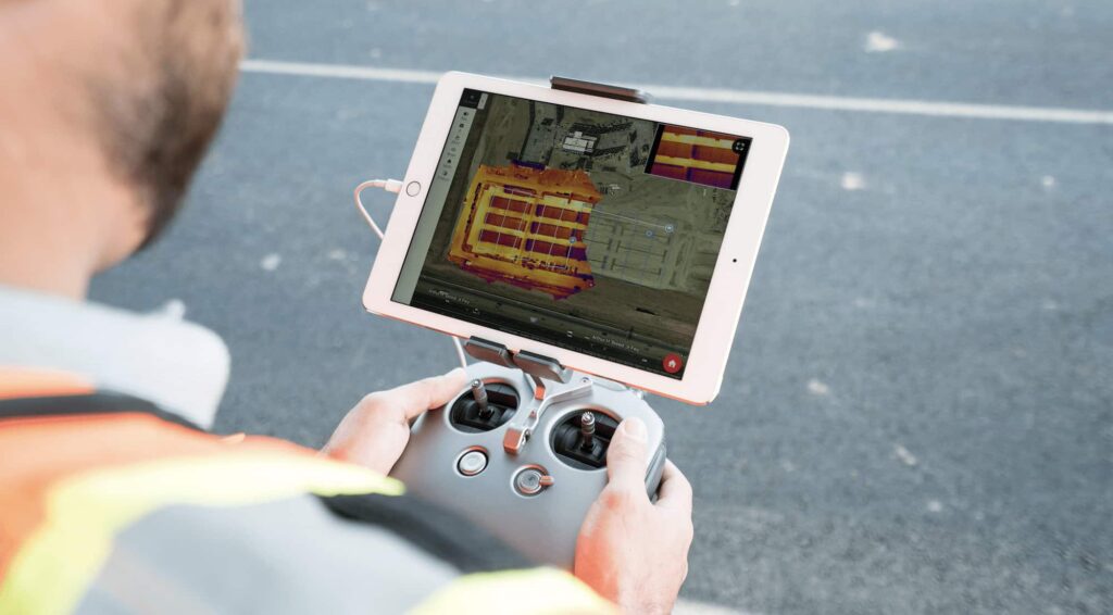
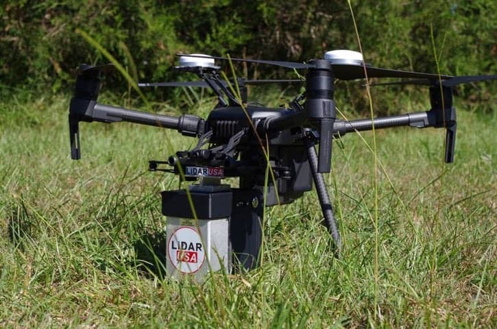
Microdrones, a developer of unmanned aerial vehicle (UAV)-based surveying, mapping and monitoring platforms, has released a whitepaper assessing the geometric...
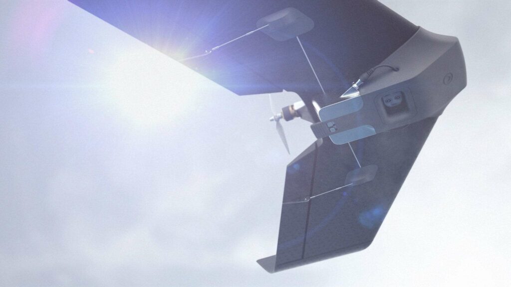
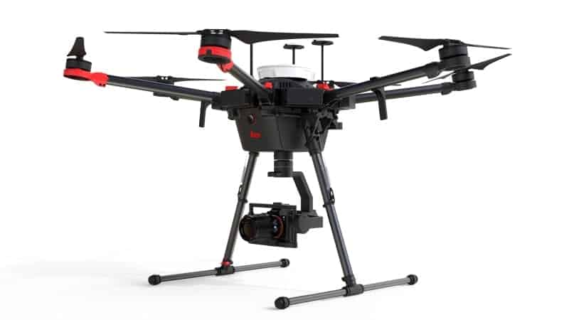
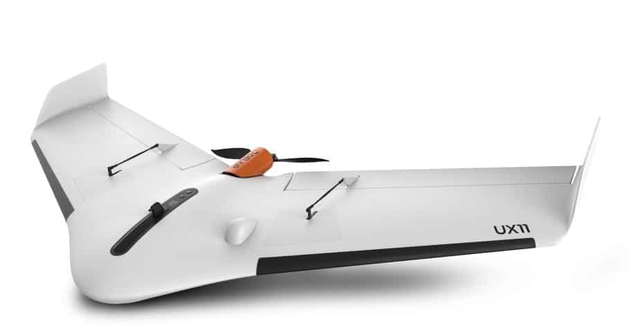
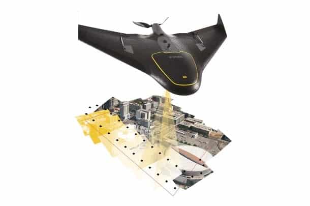
Delair has announced the introduction of its next-generation professional unmanned aerial vehicle (UAV) for survey-grade photogrammetric mapping, the UX11, at...
Advancing Unmanned Systems Through Strategic Collaboration
UST works with major OEMs to foster collaboration and increase engagement with SMEs, to accelerate innovation and drive unmanned systems capabilities forward.