


Mapping Drones
Discover cutting-edge solutions from 16 leading global suppliers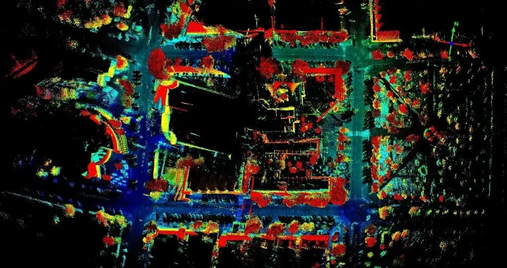
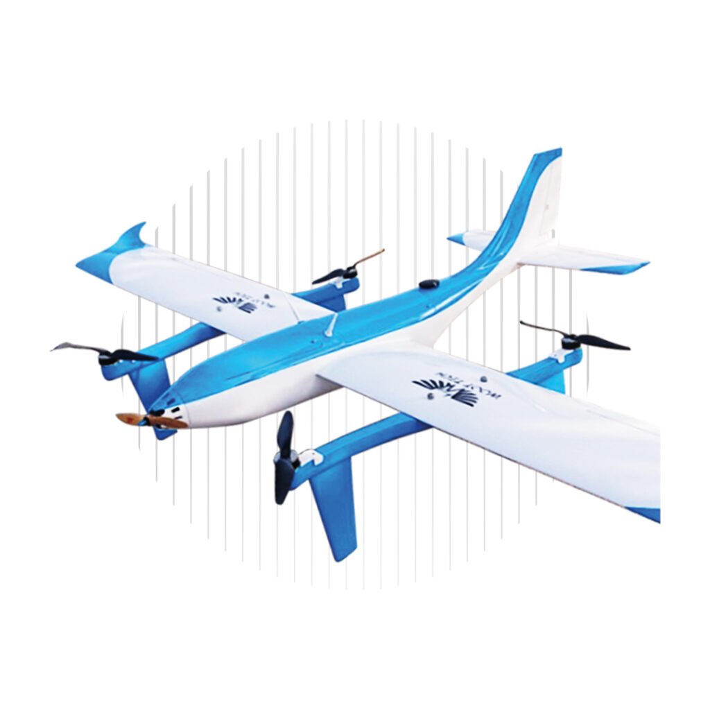
The Eagle X system will be introduced in 2019 to address aerial-mapping system needs within the fields of geography, surveying, topography, and natural resource management in Mexico, Central America, and South America.
“We saw the challenge that companies in our markets face in using limited mapping systems and converted it into an opportunity to deliver local innovation,” said Ing. David González P., CEO, Techmake Solutions. “We created a lidar mapping system that integrates several hardware components, including Velodyne sensors, and software we developed. The result is Eagle X, which makes lidar mobile mapping more accessible than ever before in our region.”
The Eagle X system is customizable to fit customer requirements for range, accuracy, weight, point cloud density, and budget. Eagle X delivers considerable ease of use because the system is controlled, from set-up through operation, via a smartphone, laptop, or tablet. Eagle X provides these devices with a streaming real-time image of a geo-referenced point cloud, while simultaneously generating and saving a map of the area. As Techmake expands Eagle X capabilities, users will receive automatic updates by connecting their system to a Wi-Fi network.
“Velodyne’s lidar sensors deliver the most accurate real-time, high-resolution data in the industry. Their performance, light weight, and compact form factor helped us to design an easy-to-use system that can be configured to fit a company’s specific mapping needs. Eagle X eliminates customer fear of not being able to buy a lidar mapping system or not being able to use it due to inadequate local support,” said González.
“Industry leaders rely on Velodyne’s rich computer perception data to provide high-performing mapping systems in a compact solution,” said Mike Jellen, President and CCO, Velodyne Lidar. “Techmake has developed a strong and hard-earned reputation for delivering customized projects and has built on this position by providing an exceptional, user-friendly lidar mapping experience with Eagle X.”


