The size, weight and power requirements of legacy LiDAR mapping systems primarily limited their use to manned aircraft. Overall hardware and operations costs also resulted in the need to map large areas to maintain financial feasibility. Recent advances in both LiDAR and inertial navigation technology have enabled a new generation of mapping systems that weigh just a few hundred grams and fit in the palm of the hand. LiDAR units are now also affordable enough for small businesses to develop services around this technology with a meaningful return on investment.
Mobile LiDAR mapping requires several components to work synergistically in order to provide a suitable output: a LiDAR scanner, attitude/orientation sensor, positioning system, timing reference system and a vehicle or mobile platform. Traditionally users had to either piece all the components together or buy expensive pre-configured systems designed for survey applications using items such as L1/L2 GPS receivers incorporating RTK (Real-Time Kinematics) positioning techniques in order to get centimeter-level positioning. These types of systems require the additional overhead of communicating with a reference base station or reference network system in order to maintain such accuracy.
LiDAR USA identified an opportunity for a low cost, easy to use system that enables a wider range of users to achieve their mapping requirements without the need for advanced training, complex setup and expensive post processing. Leveraging 18 years of experience in the LiDAR mapping and survey market, they developed the new ScanLook Revolution system.

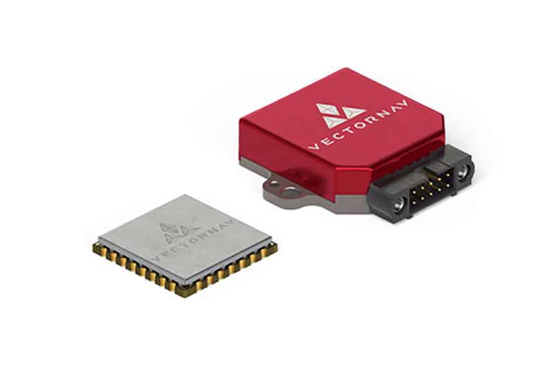
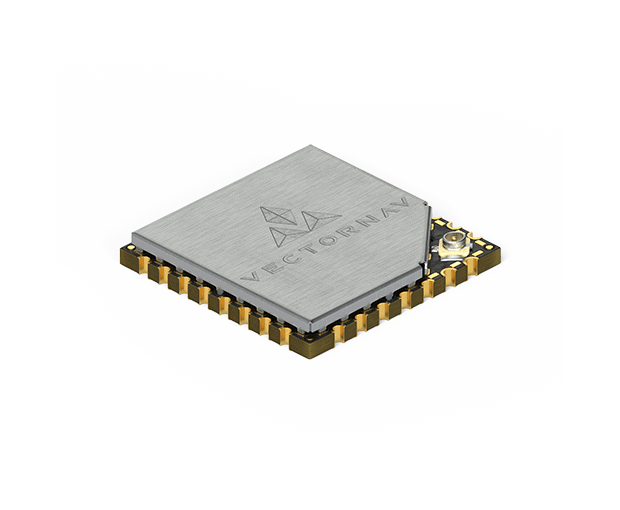
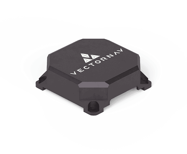
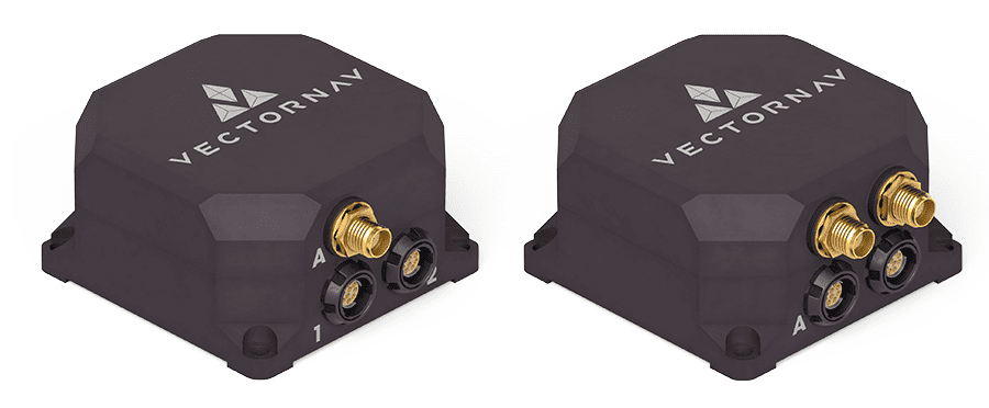
LiDAR USA selected the VN-300 in part due to the fact that it does not rely on magnetometers for heading estimation. According to Jakub Maslikowski, Director of Sales and Marketing at VectorNav, “relying on magnetometers for accurate heading estimation is typically highly problematic.” The VN-300 uses two GNSS receivers and a technique known as Carrier Phase Interferometry that enables the VN-300 to estimate the heading solely from GPS signal measurements when the vehicle is stationary.
Development of the Revolution was a challenging endeavor and required a lot of experimentation and fine tuning. “Working with the VN-300 and the team from VectorNav has been excellent. They’re responsive, extremely knowledgeable and a great team to work with,” continued Fagerman. The Revolution is available in a number of configurations for customizing to customer requirements. LiDAR USA are targeting law enforcement for accident scene reconstruction, archaeology and encroachment applications with the Revolution system and are receiving a positive response from the market about the performance of the Revolution.
According to Fagerman: “The Revolution system was designed for mapping applications where relative position measurement, rather than absolute centimeter-level position measurement, is important. For example, if you want to know the vegetation encroachment on power lines then you are more interested in the relative distance between the powerline and the trees branches than knowing the absolute position of the tree with 2cm accuracy.”
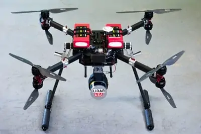
The Revolution includes: LiDAR Scanner, Inertial Navigation System (INS), onboard datalogging and WiFi interface for remote control. All the user has to do is mount the unit and attached GPS antennas and supply power.