Septentrio GNSS Technology Selected for VTOL Mapping Drone

By Mike Ball / 07 Mar 2018
Follow UST

WingtraOne PPK drone

Septentrio, a manufacturer of GNSS receiver technologies, has announced that it has been selected by Swiss drone manufacturer Wingtra to supply GNSS OEM receiver boards and PPK processing software for the newly launched WingtraOne PPK drone. The combination of VTOL (vertical take-off and landing) technology and a high-spec PPK (Post-Process Kinematics) brings wide-area coverage at high levels of precision.

“With the WingtraOne PPK, we can offer a world first in drone photogrammetry – wide coverage at ultra-high precision. In a single one-hour flight, the WingtraOne can cover 130 ha (320 acres) delivering mappping with GSDs below 1 cm/px (0.4 in/px) with absolute accuracy down to 1.27 cm (0.5 in)”, said Armin Ambühl, CTO of Wingtra. He continued, “WingtraOne’s advantage is twofold: it combines VTOL with the latest PPK technology from Septentrio. With VTOL we can offer the best of both worlds: multirotors and fixed-wings. Vertical take-off and landing means hands-free operation and a smoother ride for the on-board camera payload. Secondly, efficient flying in fixed-wing mode means far greater coverage than any comparable multirotor.”

Find suppliers of GNSS OEM Boards for UAVs >

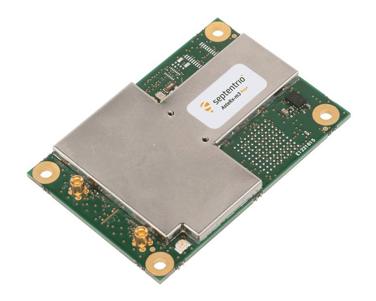
Gustavo Lopez, Product Manager at Septentrio said, “We are proud and excited to be part of this innovative project with Wingtra pushing the boundaries of aerial photogrammetry. The WingtraOne incorporates our AsteRx-m2 UAS OEM board and, photogrammetry applications requiring high-precision, low-latency positioning are what it does best. The board is specifically designed for quick and easy integration and, with Septentrio’s world-first, multi-frequency PPK, cm-level precision can now reach the parts dual-constellation solutions feared to tread.”

Following a flight, the GNSS data of the WingtraOne is processed offline using Septentrio’s PPK software. This combines the drone data with correction data from a nearby reference receiver to get accurate cm-level geolocations for every photograph. The on-board high-resolution Sony RX1RII camera, AsteRx-m2 UAS receiver board combined with Septentrio’s PPK library and Pix4D photogrammetry processing software are together able to produce ground precisions of 1.3 cm (0.5 in) horizontal and 2.3 cm (0.9 in) vertical.

Posted by Mike Ball Mike Ball is our resident technical editor here at Unmanned Systems Technology. Combining his passion for teaching, advanced engineering and all things unmanned, Mike keeps a watchful eye over everything related to the unmanned technical sector. With over 10 years’ experience in the unmanned field and a degree in engineering, Mike’s been heading up our technical team here for the last 8 years. Connect & Contact

Latest Articles

Most Read Articles on UST This Week

Here’s our round-up of the five most read articles on UnmannedSystemsTechnology.com this week

Jan 18, 2025
New High-Precision VTOL UAV LiDAR Scanning Solution

Ventus-Tech Robotics' tailsitter VTOL UAV has been integrated with the Yellowscan Mapper+ OEM payload

Jan 17, 2025
Controller Software Enables Pre-Programmed Precision Composite Curing

UAVOS is developing the Controller Software for its Composite Curing Ovens, providing a pre-programmed mode to optimize curing technology precise and efficient processes

Jan 17, 2025
New Connectors & Terminals Released for Drone Applications

ETCO Incorporated has introduced a new range of connectors and terminals for drone operations, provided in a variety of materials and designs

Jan 17, 2025
Autonomous Inland Navigation to Display at XPONENTIAL Europe

Research institute DST will bring its autonomous inland navigation capabilities to XPONENTIAL Europe with ELLA, a pioneering autonomously cruising research vessel

Jan 17, 2025
Choosing the Right Ethernet Switch for GigE Vision Cameras

Explore BotBlox's Ethernet switches for GigE Vision cameras, comparing their suitability for high-performance streaming in drones and embedded platforms

Jan 17, 2025

Featured Content

“Surveillance as a Service” UAV Solution Launched

Volatus Aerospace’s “Surveillance as a Service" solution will use drone technology to provide secure, multi-modal surveillance for faster response times and actionable intelligence

Jan 16, 2025
Aurora & SkyGrid Advance Airspace Management Solutions for UAVs

Aurora Flight Sciences and SkyGrid are set to enhance Advanced Air Mobility (AAM) by collaborating on systems for integrating UAVs into the national airspace

Jan 14, 2025
New Safety System Unveiled for Anzu Raptor Drones

ParaZero has launched the SafeAir Raptor, a parachute safety system for Anzu Robotics’ Raptor and Raptor T drone models that complies with ASTM F3322-22 standards

Jan 08, 2025
How ANELLO’s Disruptive SiPhOG™ Technology is Shaping the Future of Precision Navigation

UST sits down with Dr. Mario Paniccia, CEO at ANELLO Photonics, to learn how Silicon Photonics Optical Gyroscope technology is empowering autonomous systems with cutting-edge navigation solutions

Jan 06, 2025
XPONENTIAL Europe Highlights Autonomous Robotics for Perimeter Security

XPONENTIAL Europe, held in Düsseldorf from 18-20 February 2025, will focus on uncrewed systems and highlight their use for protecting critical infrastructure

Jan 02, 2025
Software-Defined Networking Capability Selected for Attritable Autonomous Systems

Viasat will provide its NetAgility SDN system in support of the US DoD's Replicator initiative

Dec 24, 2024