Showcase your capabilities
If you design, build or supply GPS/GNSS Products, create a profile to showcase your capabilities and connect with visitors who have an active requirement for your solutions.


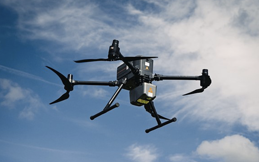
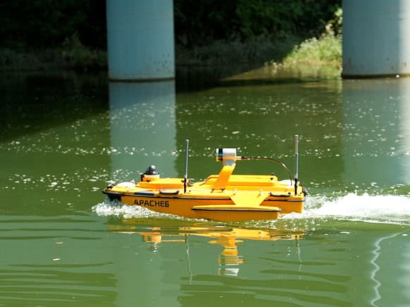
Find GNSS and GPS technologies for precise positioning, navigation, and timing (PNT) data for operating unmanned systems across air, land, and sea domains. From UAVs and UGVs to USVs and UUVs, global navigation.
Read the Technology Overview

High-Accuracy Navigation & Positioning Solutions for Unmanned & Autonomous Vehicles


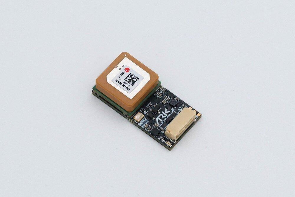
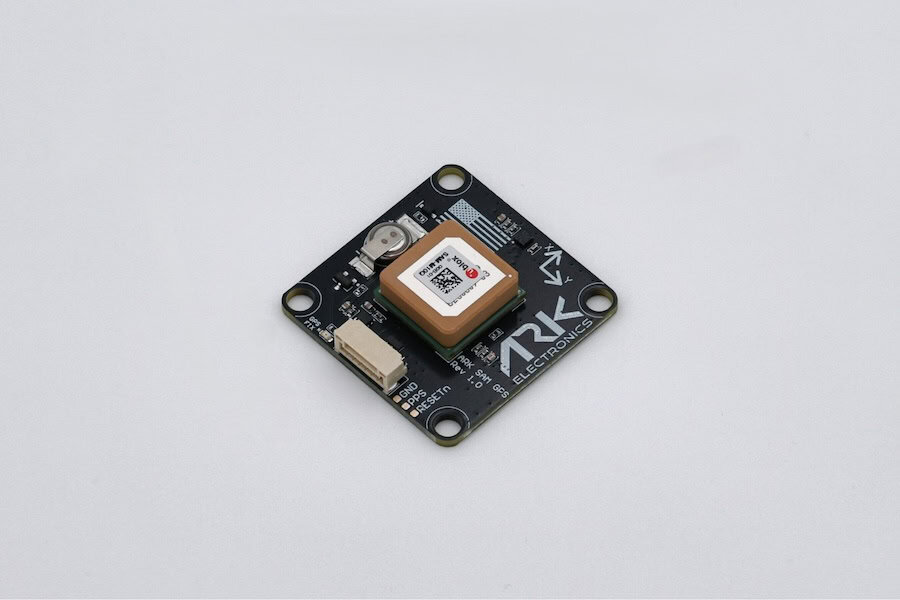
Multi-Constellation GNSS Module for Ultra-Reliable Positioning & Navigation

Next-Generation CRPA-Based GNSS Anti-Jamming & Interference Mitigation Solutions for Ultra-Reliable UAV & Umanned Systems Navigation

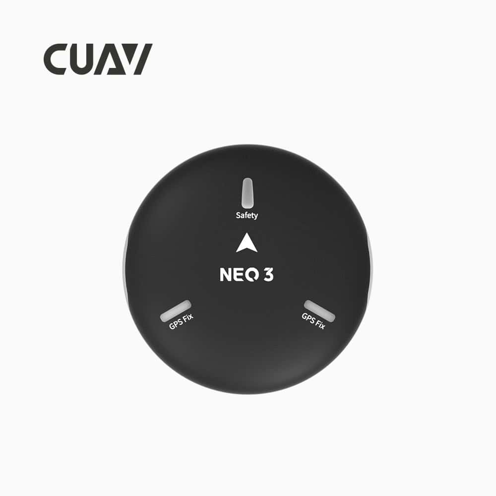
Precision Positioning & Orientation Solutions for Unmanned Applications
Military-Grade UAV Autopilot Systems for Advanced & Ultra-Reliable Flight Control

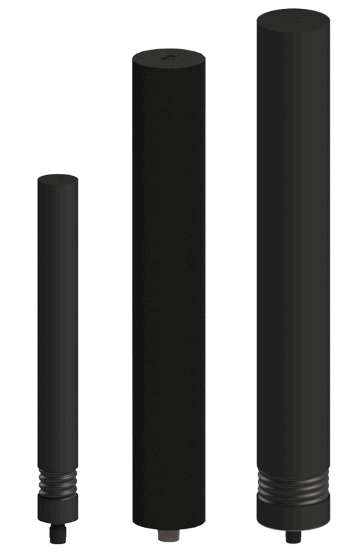
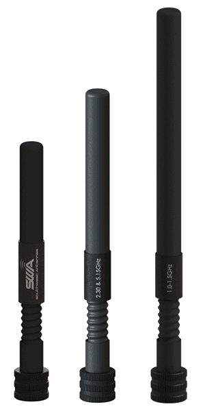
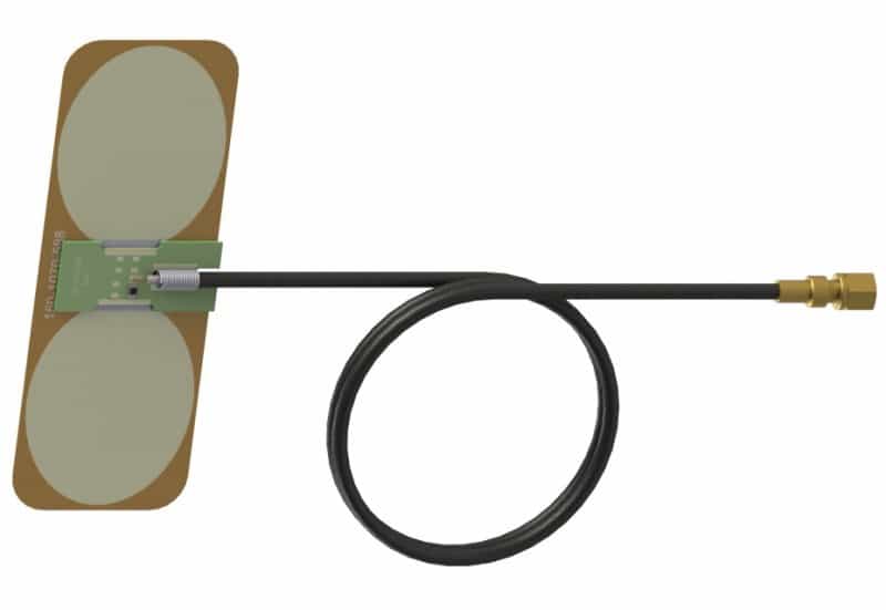
High-Precision GNSS Antennas for Position, Navigation & Timing in Drones, Robots & Autonomous Vehicles
BVLOS Solutions for UAS & UAM: Fuel Cells, Radar, Navigation Sensors, Flight Control & SATCOM
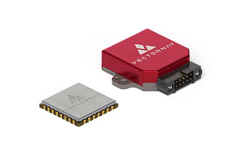
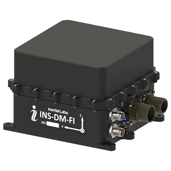
High-Performance Inertial Navigation Systems (INS) for Unmanned Systems
High Performance RF & Microwave Antennas for UAVs, Robotics, USVs and Unmanned Marine Vehicles

Inertial Navigation Sensors: MEMS IMU, Accelerometers, Gyroscopes, AHRS, GPS-INS & Point Cloud Generation
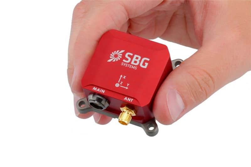
Inertial Navigation Systems, INS/GPS, AHRS, and IMU Sensors for Unmanned Systems

Precise Positioning for Unmanned Vehicles: GPS & GNSS Receivers, Antennas & Inertial Systems

Advanced Underwater Imaging & Positioning Solutions for Uncrewed & Autonomous Marine Vehicles
Anti-Jam GPS-GNSS Devices, Tactical Data Links, Telemetry Systems, Electronic Warfare Equipment & Flight Termination Systems
High-Performance GNSS/RTK/GPS PNT Solutions for Drone & Robotics OEMs & Systems Integrators
Miniaturized UAV Satcom & Cellular Connectivity Solutions Enabling BVLOS Operations
Innovative Drone Autopilots, Navigation Systems, and Other Hardware Peripherals & Accessories for UAVs
High-Precision GNSS Antennas: Assured Autonomy & Positioning for Unmanned Systems
GNSS Positioning Systems, 3D SLAM & Mobile Mapping, Unmanned Surface Vehicles
Certified UAV Communications, Navigation, Control, Surveillance, and Combat ID Solutions

UAV Components: SAR, Radar Altimeter, Data Links, Telemetry, GNSS Products & C-UAS | Tactical USVs
MEMS Inertial Sensors: IMUs, GPS-Aided INS, Gyroscopes, Accelerometers, AHRS
Professional UAV Components & Sensors: Drone Flight Controllers, GNSS Modules, Telemetry Solutions

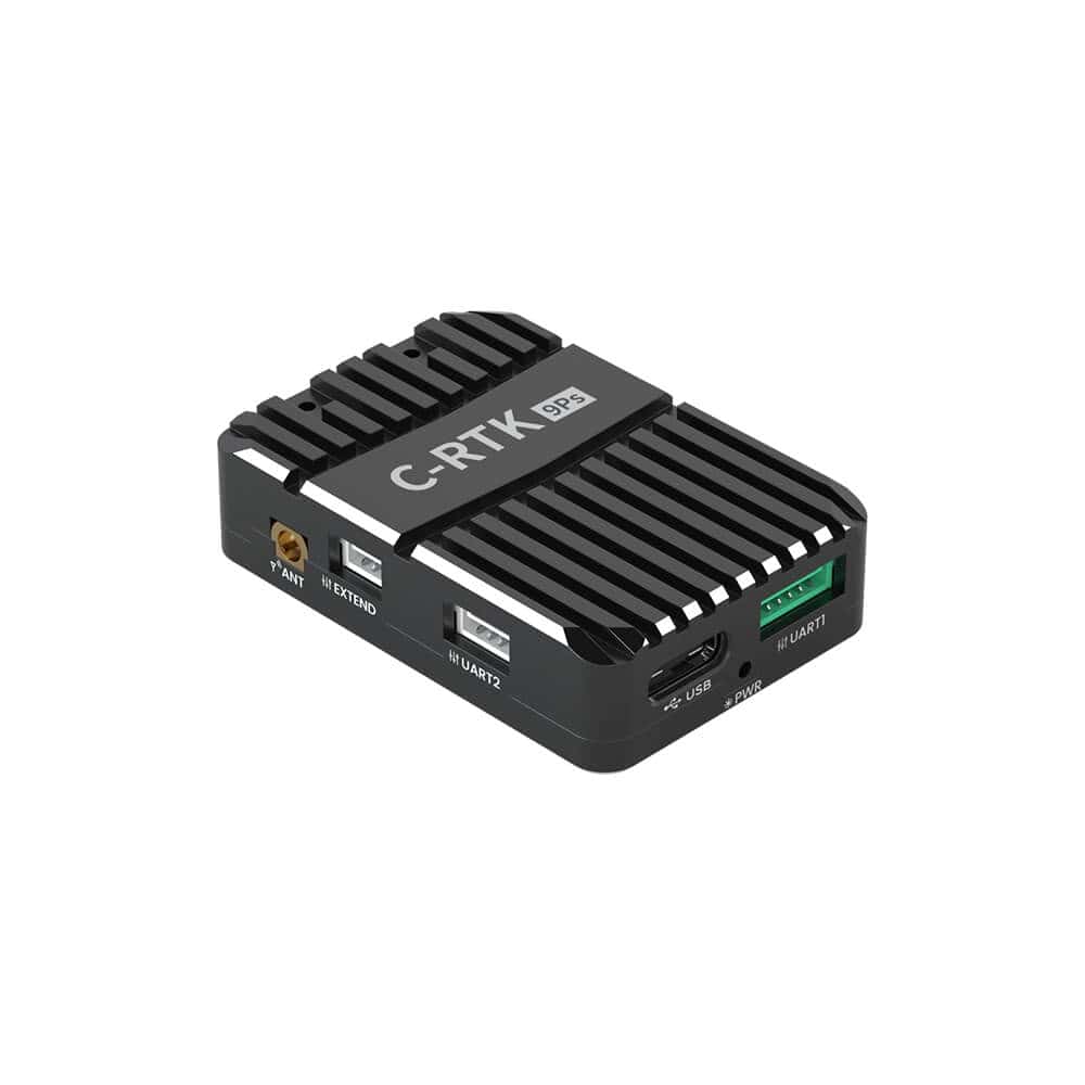
Centimeter-Level Positioning and RTK Corrections for UAVs, Robotics and GNSS Systems

Cutting-Edge Flight Controllers, Sensors, and Other Electronics Technologies for Drones & Robotics
GNSS Positioning & Navigation Systems, Mobile Mapping UAV LiDAR & Unmanned Surface Vehicles
Wireless Radio Communications, Tactical Data Links & Radio Transceivers for Unmanned Systems

Miniature ADS-B Technology (Transceivers/Receivers) and Drone Tracking Transponders for sUAS & UTM/U-Space
Gyro-Stabilized Imaging Gimbal Systems for UAVs & Unmanned Systems

If you design, build or supply GPS/GNSS Products, create a profile to showcase your capabilities and connect with visitors who have an active requirement for your solutions.

Global Navigation Satellite Systems (GNSS) and Global Positioning System (GPS) technologies form the foundation of modern modern drone and unmanned system navigation and control. By combining signals from multiple satellite constellations, such as GPS, GLONASS, Galileo, and BeiDou, these systems deliver precise position, velocity, and timing data to autonomous vehicles operating in dynamic environments.

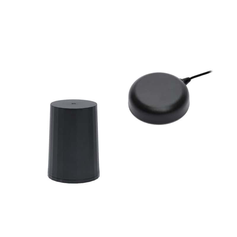
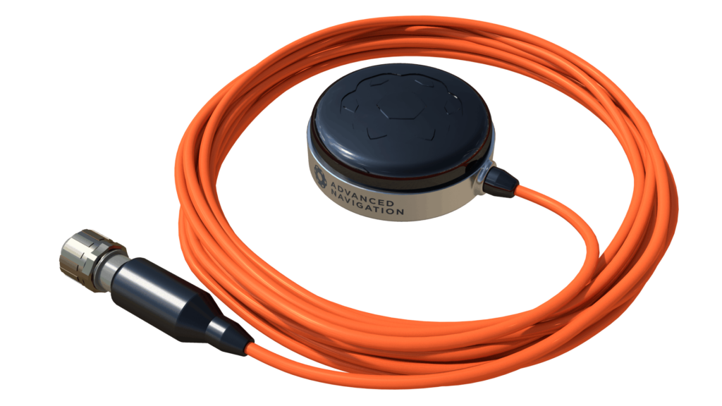
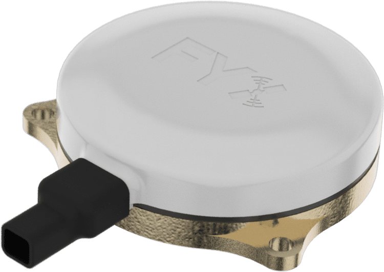
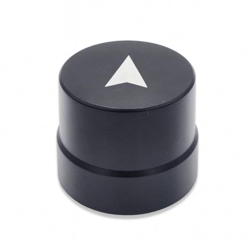
Poseidon GNSS antenna by Advanced Navigation.
Unmanned platforms in defense, commercial, and scientific sectors depend on high-performance GNSS modules and receivers to maintain centimeter-level accuracy during missions, mapping operations, or flight paths. GNSS integration with inertial measurement units (IMUs) and inertial navigation systems (INS) enhances stability and reliability, especially where satellite coverage is limited.
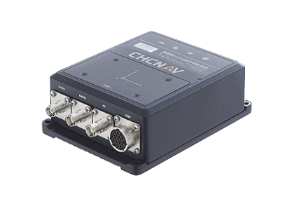
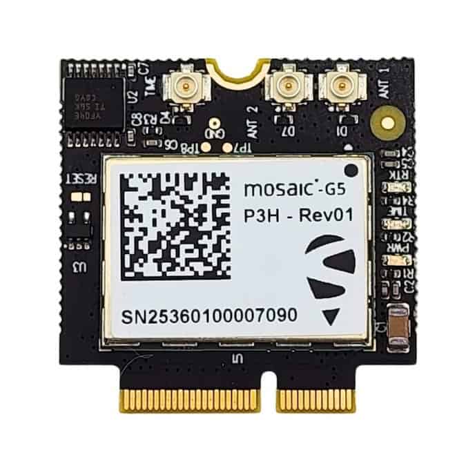
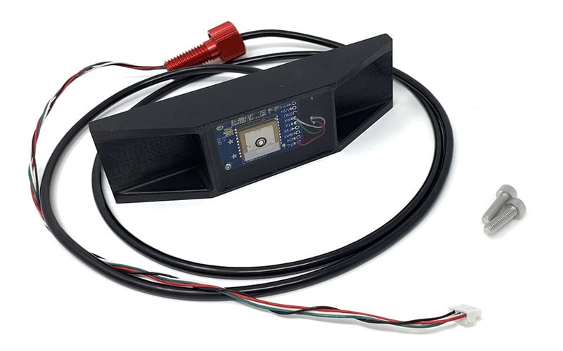
Hardware components represent the physical foundation of GNSS/GPS technology within unmanned systems. These include receivers, antennas, chipsets, modules, and base stations, each selected based on accuracy, integration capability, and environmental resilience.
GNSS receivers capture and process satellite signals to determine position, velocity, and time. Compact, low-power modules are widely used in UAVs, while robust multi-frequency receivers support ground and maritime systems. Dual- and triple-frequency receivers mitigate ionospheric delays and enhance precision, especially in Real-Time Kinematic (RTK) and Precise Point Positioning (PPP) applications.
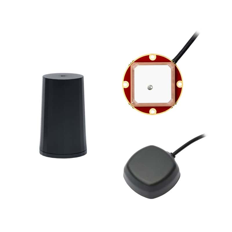
GNSS antennas ensure signal reception across constellations and frequency bands. Options include patch, helical, and choke ring antennas designed to minimize multipath interference. Base stations, whether fixed or mobile, provide correction data to improve positional accuracy through RTK or differential GNSS (DGNSS) methods.
For operations in GNSS-denied or degraded environments, integrated GNSS/INS solutions combine satellite navigation with inertial sensing. IMUs measure acceleration and rotation, maintaining navigation continuity when satellite signals are obstructed. This hybrid approach is critical for defense applications, subterranean operations, and autonomous flight in complex terrain.
Hardware is often selected according to required positioning accuracy and operational constraints. Centimeter-level precision is achieved through RTK corrections or PPP services, while standard navigation applications may rely on single-frequency modules. For unmanned vehicles operating in harsh conditions, ruggedized housings, temperature stability, and vibration resistance are key considerations.
GNSS software supports data processing, control, and integration with mission systems. It converts raw satellite data into usable navigation information, facilitates sensor fusion, and manages communication between onboard subsystems.

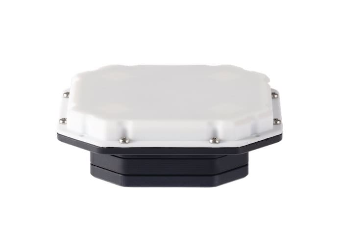
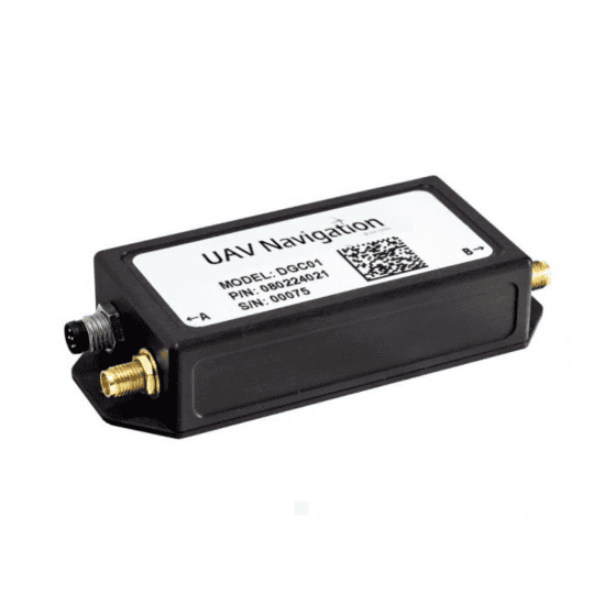
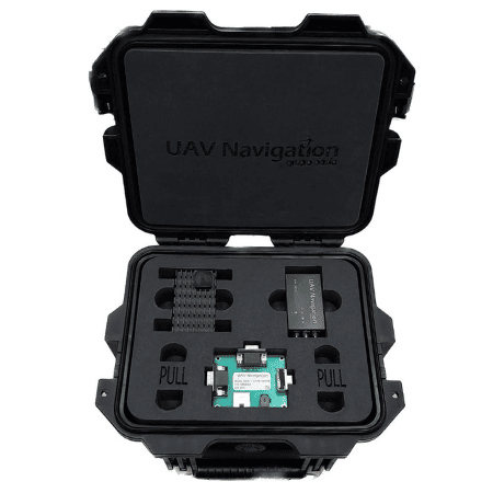
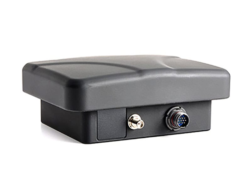
DGC01 GNSS Compass by UAV Navigation-Grupo Oesía.
Software algorithms process GNSS measurements to produce accurate position and velocity outputs. They can incorporate sensor fusion from IMUs, cameras, or lidar systems to enhance situational awareness and stability. Software-defined receivers and configurable firmware enable customization of signal tracking, constellation selection, and error correction parameters.
Firmware embedded within GNSS modules controls signal acquisition, tracking loops, and data output protocols. Configurable firmware allows users to tailor performance for specific mission profiles—whether real-time RTK positioning for drones or delayed post-processing for survey mapping.
Unmanned platforms rely on mission software to coordinate navigation with payload control and autonomous behaviors. GNSS software interfaces seamlessly with these systems, ensuring that positional data supports path planning, target tracking, and return-to-base functions.
Post-mission software tools analyze recorded GNSS data for survey validation, performance assessment, and system calibration. This capability is essential in precision agriculture, defense reconnaissance, and oceanographic research applications.
Correction and augmentation services enhance GNSS performance by providing real-time error compensation and accuracy improvements. These services ensure unmanned platforms maintain reliability even under challenging operational conditions.
RTK (Real-Time Kinematic) systems use local base stations, networked reference stations, and subscription-based delivery services to deliver centimeter-level positioning accuracy. Unmanned vehicles operating within range of these networks benefit from immediate corrections transmitted via radio link or cellular network.
Precise Point Positioning (PPP) services deliver global accuracy without needing a local base station. These corrections, often broadcast via satellite or internet, improve accuracy to within a few centimeters and are well-suited for global UAV fleets or maritime applications.
Service providers offer correction signals that compensate for atmospheric delays, clock errors, and orbital inaccuracies. Satellite-Based Augmentation Systems (SBAS) such as WAAS and EGNOS are used in aviation and defense operations to enhance safety and reliability.

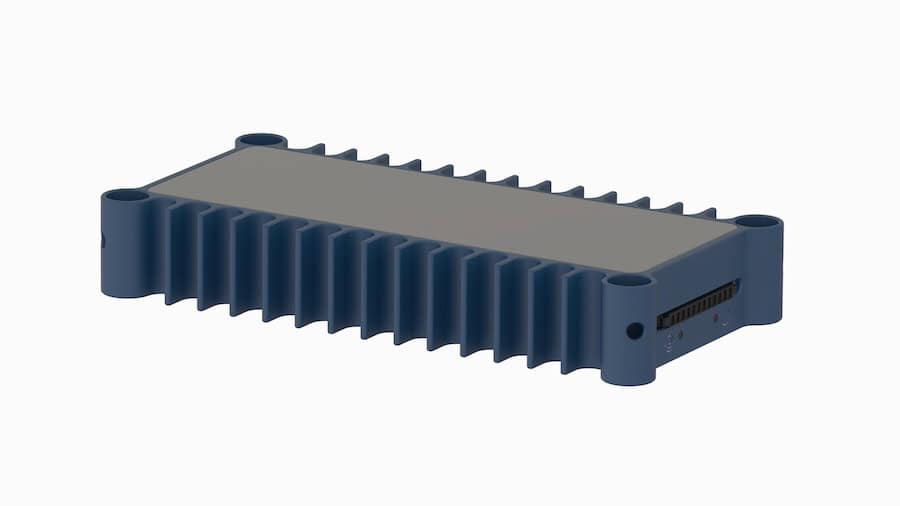
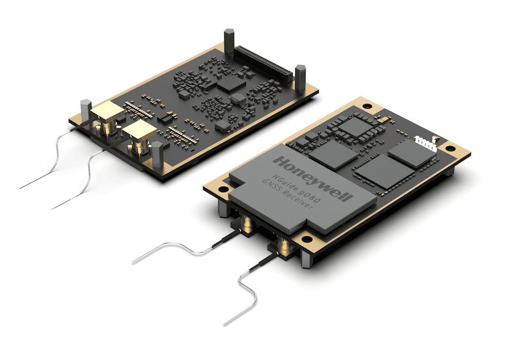
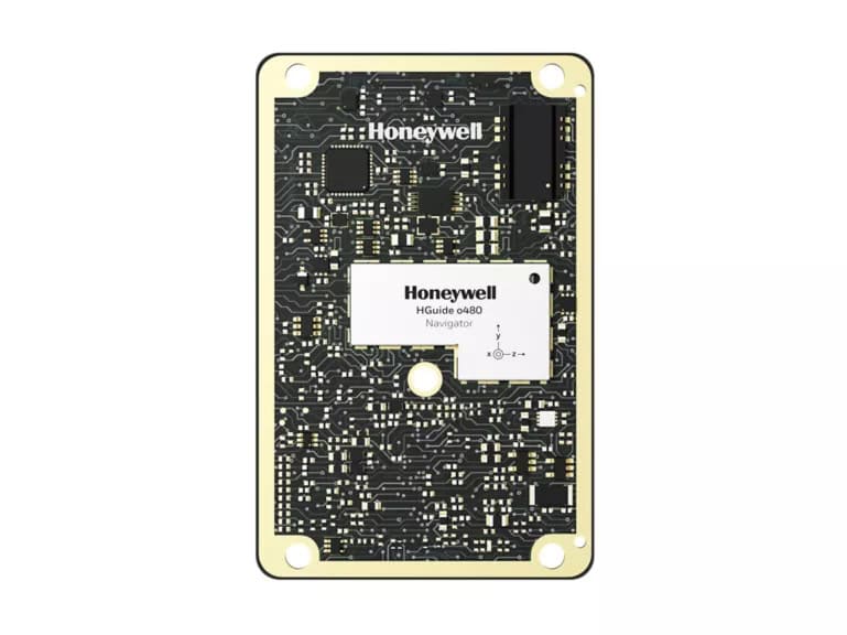
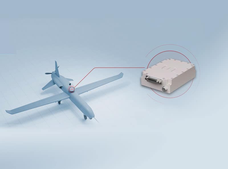
MIMU GNSS MEMS INS and AHRS by Honeywell Aerospace.
Positioning, Navigation, and Timing (PNT) resilience is vital for defense and high-stakes commercial operations. Redundant GNSS solutions, combined with INS and signal integrity monitoring, protect unmanned systems from spoofing or jamming threats.
GNSS and GPS technologies are fundamental across all unmanned domains:
Precision GNSS is critical in surveying, mapping, agriculture, and defense. Applications range from precision farming and infrastructure inspection to robotic localization and autonomous convoy operations.
Buyers and system integrators assess GNSS components based on performance, form factor, power efficiency, and compatibility with other onboard systems. Military-grade hardware often complies with established standards such as MIL-STD environmental specifications, ensuring reliability under vibration, temperature, and electromagnetic conditions.
Key selection criteria include signal tracking capability, update rate, correction compatibility, and ease of integration with existing avionics or control systems. For high-end defense or aerospace missions, dual-frequency receivers with anti-jamming technology and secure firmware are preferred.
Advancements in multi-constellation tracking, low-SWaP (size, weight, and power) designs, and AI-assisted navigation are shaping the next generation of GNSS solutions for unmanned systems. Ongoing research focuses on resilient PNT architectures capable of maintaining navigation integrity even under intentional interference or limited satellite visibility.
As unmanned systems expand across commercial, scientific, and defense sectors, GNSS and GPS technologies will remain indispensable in ensuring mission precision, safety, and autonomy.

 Searching Companies & Products


 Subscribe to the Weekly eBrief
The latest engineering and technical developments straight to your inbox - join thousands of engineers who receive it.
Subscribe to the Weekly eBrief
The latest engineering and technical developments straight to your inbox - join thousands of engineers who receive it.