Meteksan Defense

UAV Components: SAR, Radar Altimeter, Data Links, Telemetry, GNSS Products & C-UAS | Tactical USVs

Turkey
Meteksan Defense
UAV Components: SAR, Radar Altimeter, Data Links, Telemetry, GNSS Products & C-UAS | Tactical USVs
Cyberpark F Blok Beytepe Lodumlu Köy Yolu No:85/A, 06800 Çankaya, TURKEY Turkey Regional offices
+90 312 266 15 20

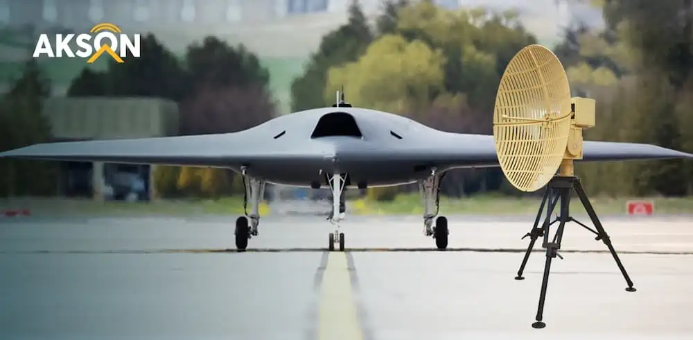
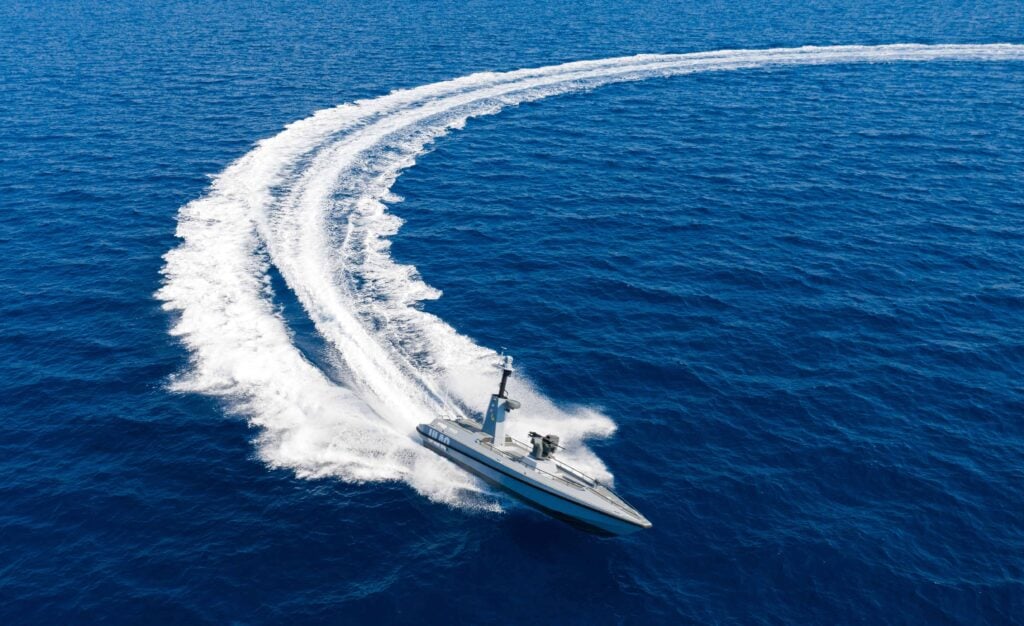
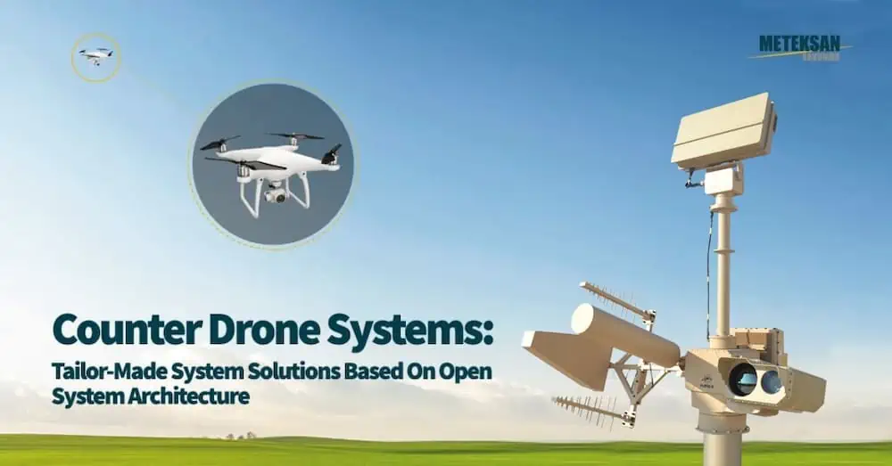
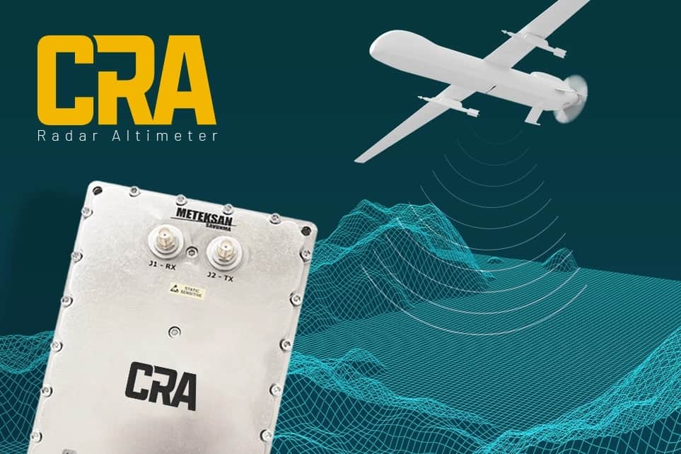
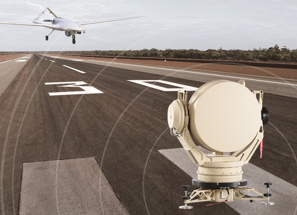
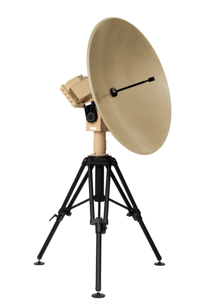
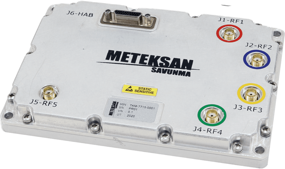
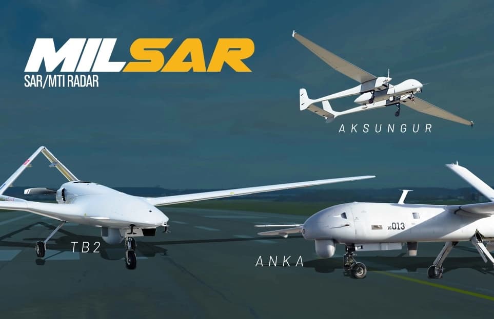
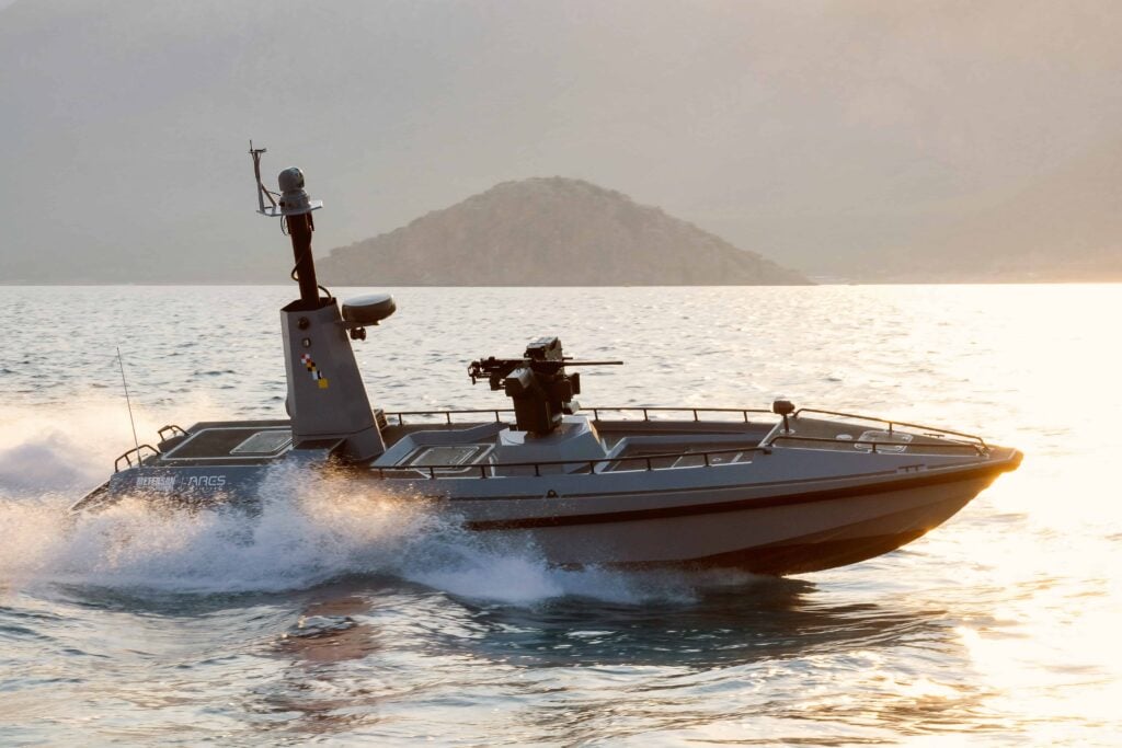
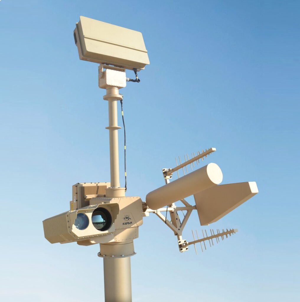
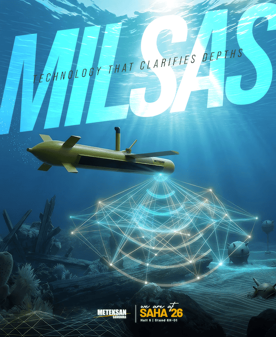
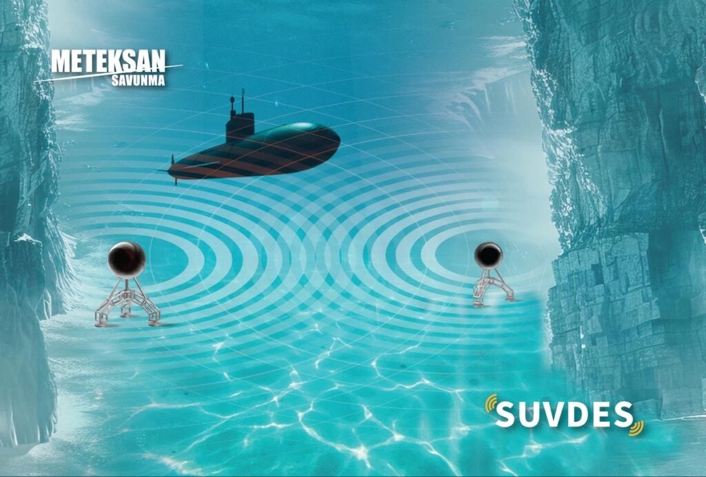
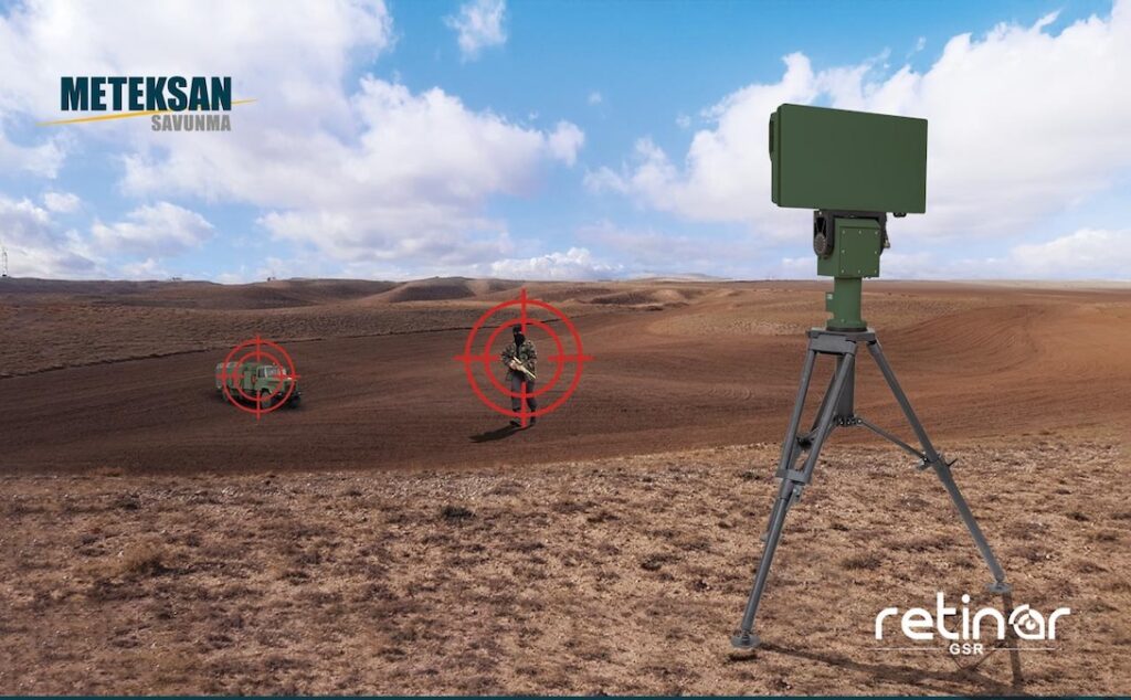
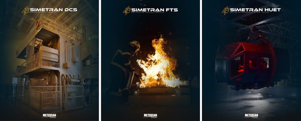
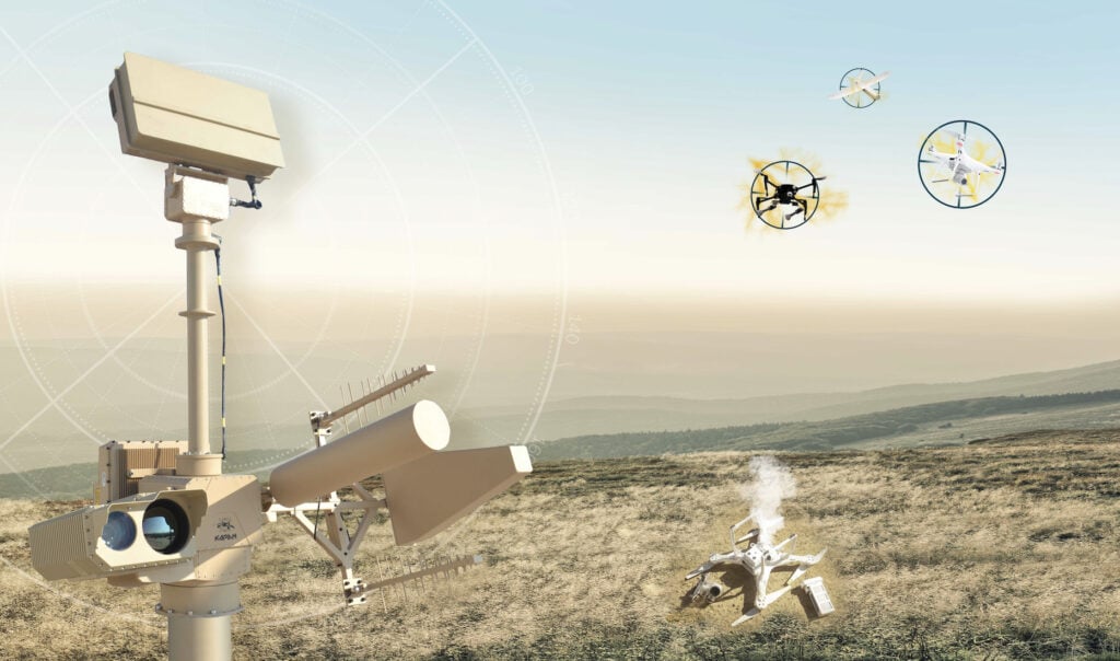
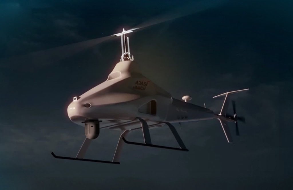
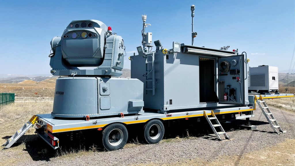
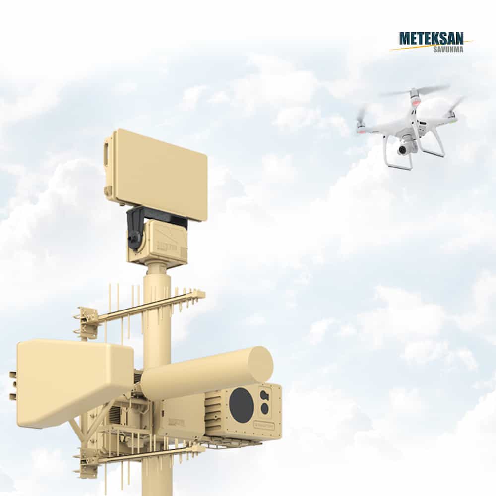
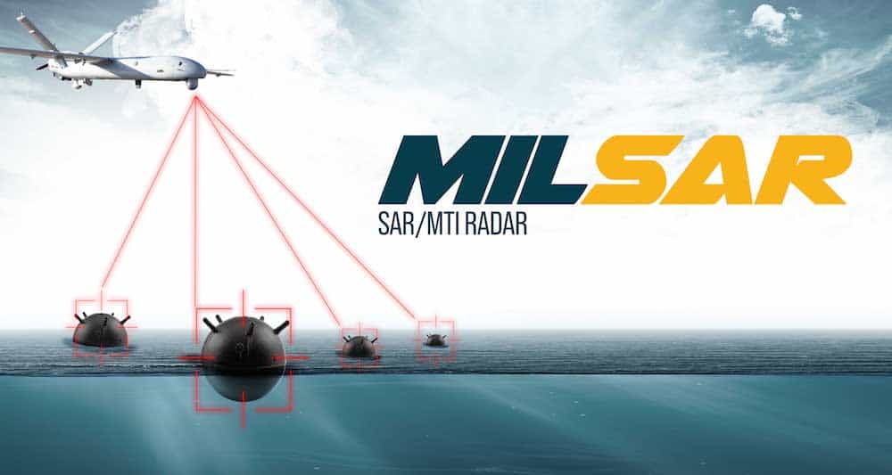
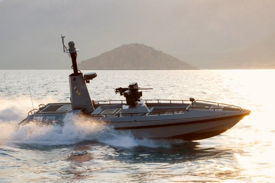
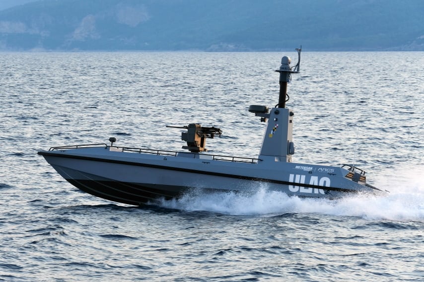
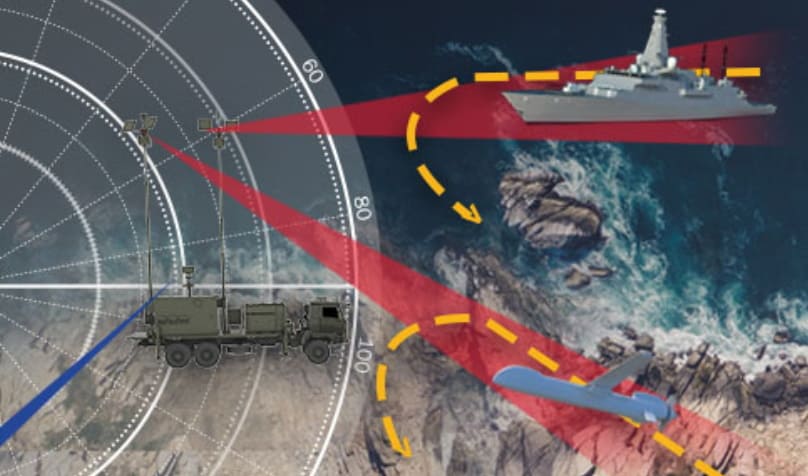
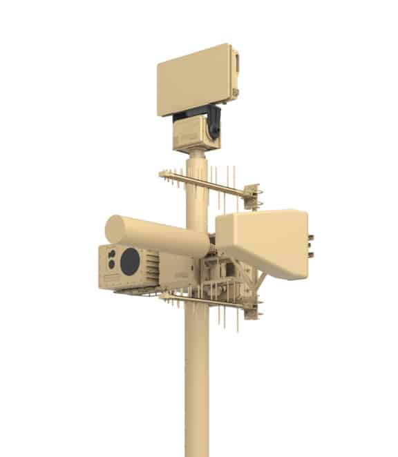
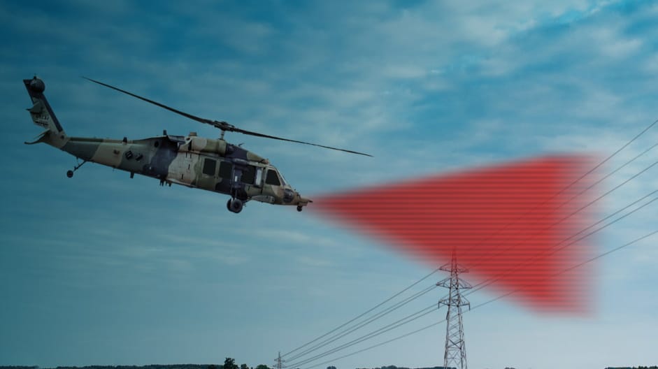
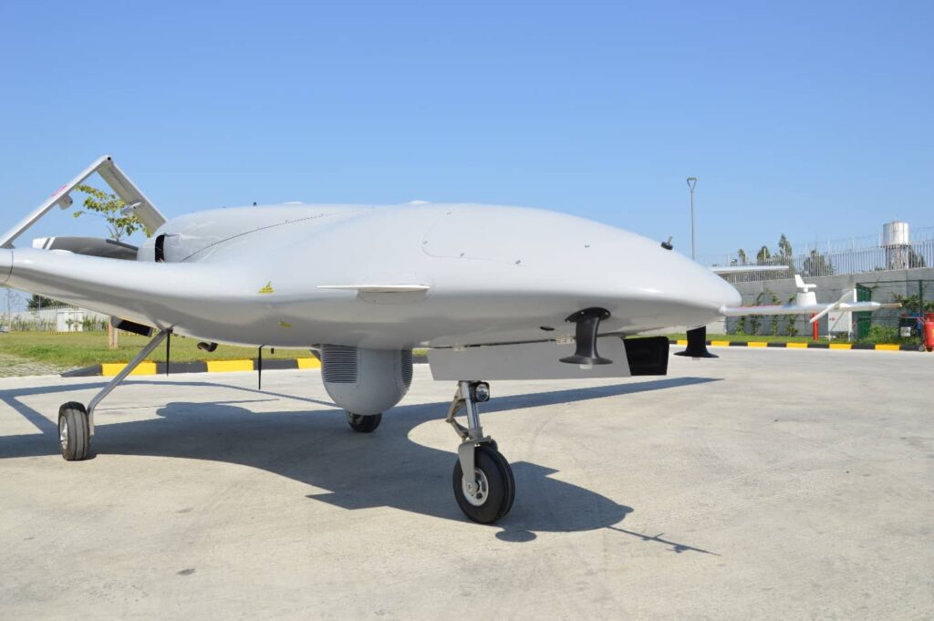
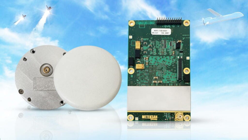
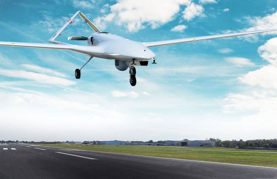
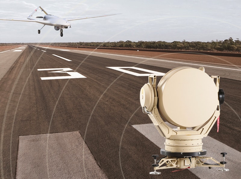
Meteksan Defense is a leading designer and producer of state-of-the-art UAV subsystems, radar and communication technologies for the defense and security industries; as well as Unmanned Surface Vessels (USVs) for tactical maritime missions.

UAV subsystems

Products of Meteksan Defence, including subsystems for UAVs (unmanned aerial vehicles) and other unmanned vehicles, are used around the world for command and control, ISR (intelligence, surveillance and reconnaissance), navigation and positioning, and a variety of other applications.

MILSAR SAR/MTI Radar

Synthetic Aperture Radar for UAV Surveillance

MILSAR Multimode Surveillance Radar

MILSAR SAR/MTI Radar is designed to be used on airborne platforms for intelligence, surveillance, reconnaissance, deterrence, and attack operations. It has versatile Moving Target Indication (MTI) for detection and tracking of potential targets and Synthetic Aperture Radar (SAR) modes for high resolution and all-weather radar imagery, target classification and ground mapping. MILSAR detects and tracks potential targets either low-speed small size or fast-moving objects even in adverse weather and low visibility conditions including cloud and fog.

MILSAR Synthetic aperture radar for UAV surveillanceThis high technology radar system has the same form-fit mechanical interfaces as the standard 15” EO/IR sensor turret to be readily replaced with an EO/IR sensor. In this way, either EO/IR sensor or MILSAR SAR/MTI Radar system can be used according to mission requirements for tactical UAVs which cannot carry both of them together. In addition, operating MILSAR together with an EO/IR sensor in a “slew-to-cue” mode improves the effectiveness of the UAV-UCAV joint operations through maximizing wide-area surveillance of UAV and increasing UCAV’s attack capability.

long-range surveillance imaging

SAR features come with Stripmap and Spotlight sub-modes which enable high resolution, long-range imaging even in low visibility, over-the-cloud surveillance operations day or night. Radar plots and tracks are displayed on a geo-referenced plan-position display or can be overlaid on a digital map. The selected target’s range-bearing and course-speed parameters are instantly displayed on the operator’s console. Stripmap mode provides real-time, accurate ground mapping and radar imaging in sub-metric spatial resolution, and is used for wide-area surveillance. The Spotlight mode is specialized for change detection, feature detection, identification, and classification.

Learn more: MILSAR Multimode Surveillance Radar for UAVs

OKIS – Automatic Takeoff and Landing System

Safe and Independent Operations for UAVs

OKIS - Automatic Takeoff and Landing System

OKIS is a Ka-band radar-based system for automating UAV takeoff and landing. It provides reliable operation even under adverse conditions such as signal jamming, GPS-denied environments and harsh weather.

OKIS consists of two components:

OKIS Airborne Segment – a compact, lightweight transponder and antenna that can be installed on a wide range of UAVs without significantly impacting the payload capacity.

OKIS Ground Segment – an interrogating radar installed near the runway that measures the aircraft’s range, bearing and elevation and transmits this 3D information to the ground control station.

Radar-based UAV takeoff and landing system

The robust, two-man portable system is quick and easy to install and provides tracking at distances up to 10 km away.

Weight 2.5 kg (Airborne Segment)
70 kg (Ground Segment)
Output Power 100 mW (Airborne Segment)
0.5 W (Ground Segment)
Power Consumption 30 W (Airborne Segment)
500 W (Ground Segment)
Range 10km
Range Accuracy 1m
Radar Azimuth Coverage 270 degrees


Learn more:  OKIS – Automatic Takeoff and Landing System

CRA – C-Band Radar Altimeter

High-precision UAV radar altimeter

CRA - C-Band Radar Altimeter

With its miniature design and low power consumption features, Meteksan’s CRA Radar Altimeter Family provides an efficient workload planning opportunity in any air platform. CRA Radar Altimeters can measure precisely up to 2500/5000 feet altitude, providing sensitive data on platforms operating at high speed and with great manoeuvrability, and during operations such take-off/landing and low flight. They can also provide ground-referenced navigation on different earth structures, including offshore operations.UAV Radar Altimeter

CRA Radar Altimeters with low output power, operate in a wide frequency band and with low probability of Intercept (LPI). Power control mechanisms that are automatically adjusted according to altitude, offer high availability with in-unit test features that operate during the opening, periodically on duty, and on the operator’s request.

CRA Radar Altimeters are designed, developed and produced as fully compatible with military standards; successfully passed and qualified within environmental conditions (MIL-STD-810F), EMI/EMC (MIL-STD-461E) and flight tests.

CRA-501 CRA-201
Size 171 x 111 x 18 mm
Weight <450g (radar unit)
<850g (entire system)
Power Consumption <16W
Output Power <0.5W peak <0.25W peak
Update Rate 50 Hz 66 Hz
Max Altitude 5000 ft (1500 m) 2500 ft (750 m)
Min Altitude 2m
Altitude Accuracy ±2 ft/2 %


Learn more: CRA – C-Band Radar Altimeter

AKSON C-Band UAV Data Link

Tactical LOS Communication and Control for UAVs

C-Band UAV Data Link

AKSON C-Band UAV Data Link is a LOS (line of sight) air-to-air and air-to-ground, real-time, bi-directional communication system, which transmits Manned/Unmanned Systems command & control data and receives telemetry and high data rate real-time video data, on a ground system with highly reliable Electronic Warfare (EW) protection.

Surveillance data from Manned and Unmanned Air Vehicle sensors is compressed in H.264 format and transmitted to the ground control stations via a long-range C-Band Data Link. Also UAV remote control data is transmitted from ground control station to UAV flight computer in real-time.

C-Band tactical data link for UAVs

The system consists of an Air Data Terminal (ADT) and a Ground Data Terminal (GDT). The reflector antenna has been constructed from carbon fiber to significantly lower weight, while the UAV antenna has been specially designed for effective resistance against airborne environmental conditions.

Learn more: C-Band UAV Data Link

UAV Flight Control Computer

Mission-critical drone flight control system

UAV Flight Control ComputerThe UAV Flight Computer is based around a powerful processor with interfaces for mechanical flight control and sensor data acquisition. The low-SWaP system can interface with multiple UAV payloads, and features on-board voltage, current and temperature sensors as well as multiple analog-to-digital converters.

The UAV flight control system has been designed to meet MIL-STD-810F, MIL-STD-461E and MIL-STD-464A/E standards.

Learn more:  UAV Flight Control Computer

ANKA SATCOM Radome

Robust protection for UAV SATCOM antennas

ANKA SATCOM RadomeThe ANKA SATCOM Radome provides enhanced protection for Ku-band and L-Band UAV SATCOM antennas.

Constructed from high-tech tough and lightweight materials, it has been designed for minimal electromagnetic signal loss and maximum aerodynamic performance.

The airborne SATCOM radome is flight-qualified and offers lightning protection as well as high resistance to harsh environmental conditions.

Learn more:  ANKA SATCOM Radome

TMV Telemetry Transmitter

Mission-critical multi-mode UAV telemetry solution

Mission-critical multi-mode-UAV telemetry transmitter

The TMV is a multi-mode S-band telemetry transmitter designed for mission-critical UAV applications. The highly flexible system features a variety of software-defined options, with six RF outputs that can be configured as independent or dual with variable power up to 20W and data rates of up to 20 Mbps.TMV Telemetry Transmitter

Optional capabilities for enhanced reliability and improved link margin include ARTM Tier 0, 1 and 2 modulation schemes and an IRIG 106-15 Compliant LDPC forward error correction mode.

Size: 149 x 149 x 51 mm (excluding connectors)
Weight: 1800g
Frequency Range: 2202 – 2298 Mhz
Frequency Tuning Increment: 0.5 MHz
Bit Rate: 1 – 20 Mbps (PCM/FM)
5 – 20 Mbps (SOQPSK-TG)


Learn more:  TMV Telemetry Transmitter

AGNOSIS Anti-Jamming GNSS

Anti-jamming Capabilities for Military and Civilian UAVs

AGNOSIS Anti-Jamming GNSSAnti-Jamming-GNSS includes CRPA antenna with 4 or 8 antenna array configuration and 1 signal processing unit with multi receive channels.

Signals acquired by CRPA are digitized with high dynamic range receivers and processed by a signal processing unit. Jamming signals are filtered by using signal processing techniques, and the original signal without the jamming signal, is reconstructed again for delivering to standard GNSS receivers.

Meteksan Defence can develop and produce platform specific GNSS receiver systems with anti-jamming and anti-spoofing capabilities, which can output precise position and velocity information.

In order to suppress jamming signals, spatial filtering methods are utilized. Phased array antennas are used for spatial filtering with respect to incoming signal direction, and jamming signals are separated from GNSS signals. Depending on the number of antennas used in spatial filtering, more than one jamming signal can be nullified. It is possible to determine the direction of the GNSS signals by using phased array antennas. By using this information, while powerful jamming signals are nullified by the anti-jamming system, GNSS spoofing signals can also be filtered.

Learn more:  AGNOSIS Anti-Jamming GNSS Receiver

GNSS Receivers & Antennas

Low-SWaP UAV Positioning and Navigation Solutions

GNSS Receivers & AntennasMeteksan Defence GNSS Receivers offer highly accurate and precise positioning GNSS technology to platforms. Our GNSS receiver solutions offer multi-constellation, multi-frequency tracking and feature flexible, low power consumption, field upgradeable software and data logging. The products have a rugged design for use in harsh environments.

Customers benefit from alternative options for fast data transfer, as well as receiver configuration via standard and custom interfaces. GNSS receivers are designed for easy integration into multiple platforms.

Meteksan Defence GNSS Antennas have been designed to support high accuracy air, land, marine and munition applications. Antennas are high-performance multi-band GNSS antennas that are built with weather-resistant materials to allow operation in the harshest environments. Maximize your GNSS receiver’s positioning performance with the optimal GNSS antenna for your application. Meteksan Defence provide an extensive range of single-band and multi-band GNSS (GPS, GLONASS, Galileo, BeiDou) antennas in the L1 and L1/L2.

Learn more:  GNSS Receivers & Antennas

ULAQ – Unmanned Surface Vehicle (USV)

Armed USV for Tactical Maritime Missions

ULAQ Armed USV

ULAQ is an advanced USV built from state-of-the-art composite materials and designed for a wide range of tactical maritime missions such as ISR (intelligence, surveillance and reconnaissance), surface and asymmetric warfare, naval escort and infrastructure protection.

Armed USV for tactical maritime missions

ULAQ has up to 800 km range and 130 km/h speed, day & night vision capabilities, secure communication infrastructure and includes 4 cells of laser guided and 2 of L-UMTAS anti-tank missile systems. The Surface Vehicle has a unique telescopic mast to utilize the E/O System for 360° enhanced day & night vision capability as well as increased target acquisition and designation range for laser guidance.

With its modular structure, different payloads can easily be integrated to Surface Vehicle.

ULAQ also features a variety of communication and intelligence options, including jamming and electronic warfare systems, to suit diverse operational needs. CRPA GNNS Anti-Jam System is a part of the ULAQ AUSV navigation system to obtain geographical information in case of a GNSS jamming attack. The Class-B AIS Transponder, INS, Radar and O/B Sensor System which are part of collision avoidance system of ULAQ AUSV, provide safe navigation with sense-and-avoid functionality.

Learn more: ULAQ – Unmanned Surface Vehicle (USV)

Drone Detection & C-UAS Systems

Counter Drone Systems

KAPAN Counter Drone System

Comprehensive C-UAS capability for Critical Infrastructure Security

KAPAN Counter Drone System offers precise drone detection and tracking performance with Radar and Electro-Optic system combinations and artificial intelligence integrated algorithms. Besides its detection and tracking capability, KAPAN allows neutralization of drones with an RF Jammer.

The target drone, when detected and tracked, is identified with the thermal / day cameras. Then precise positioning and tracking are performed. More than one system can be used depending on the characteristics of the protected area. Command and control software enables targets to be fused and viewed as a single track on a common operation picture. Information on the direction and position of the target drone is provided by sensors and can be assigned to RF jammer for neutralization.

Different sensors and countermeasure components can be mounted on  vehicles or masts etc. and it is possible to integrate each component in varying numbers according to the requirements of the area to be protected. In this way, effective solutions can be achieved both in terms of performance and cost.

Learn more: KAPAN Counter Drone System

Retinar FAR-AD Drone Detection Radar

Effective detection of small UAS

Retinar FAR-AD Drone Detection RadarThe Retinar FAR-AD provides critical long-range detection of small UAS, automatically scanning large areas and low-altitude airspace. The Ku-band radar features advanced solid state RF design and digital radar architecture.

The system includes built-in 10/100Mbps Ethernet communications, with an intuitive user interface that provides target location, distance, speed, and direction information to the operator.

Learn more: Retinar FAR-AD Drone Detection Radar

Articles
+ Load More Articles
Regional Offices & Locations
Meteksan Savunma Turkey Cyberpark F Blok Beytepe Lodumlu Köy Yolu No:85/A, 06800 Çankaya, TURKEY +90 312 266 15 20 Contact Website