


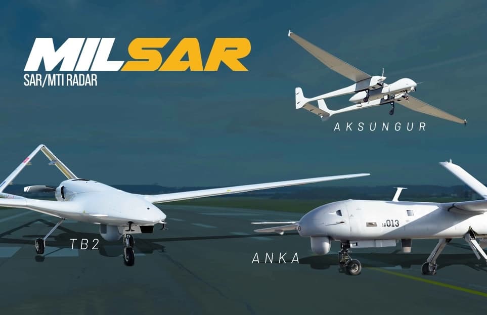

The MILSAR SAR/MTI Radar provides UAVs with a versatile tactical ISR capability, featuring Moving Target Indication (MTI) for detection and tracking and Synthetic Aperture Radar (SAR) for high-resolution all-weather and low-visibility imaging, target classification and ground mapping.
The advanced system has the same form-fit mechanical interfaces as a standard 15" EO/IR gimbal, enabling the two capabilities to be swapped out as required on smaller UAVs that cannot carry both. On larger platforms, the two can work together in a “slew-to-cue” configuration for enhanced effectiveness in wide-area surveillance.
MILSAR provides Stripmap and Spotlight modes that enable high resolution long-range imaging even in low visibility conditions during the day or at night. Radar plots and tracks are displayed on a geo-referenced display and can also be overlaid on a digital map, and target range, bearing and speed parameters are instantly displayed on the operator’s console. Stripmap mode provides real-time, accurate ground mapping and radar imaging in sub-metric spatial resolution, and is used for wide-area surveillance. Spotlight mode is designed for change detection, feature detection, identification, and classification.
| Dimensions (D x H) | 37 x 44.5 cm |
| Weight | 28 kg |
| Power | 20-30V, 600W average |
| Max Altitude | 22000 ft |
| MTI |
Max range up to 90 nm depending on target Max no of targets: 1000 track capacity: 200 |
| SAR |
Max range: 15 nm Image resolution: 3 x 3m, 1 x 1m, 60 x 60 cm, 30 x 30 cm |


