Showcase your capabilities
If you design, build or supply Radar Altimeters, create a profile to showcase your capabilities and connect with visitors who have an active requirement for your solutions.


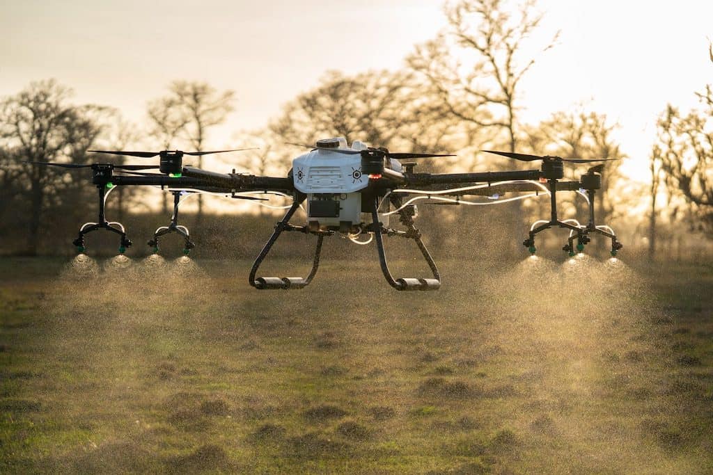
Radar Altimeter manufacturers and suppliers of Drone Radar Altimeters used by UAS, multirotors, and unmanned helicopters for precision takeoff & landing, terrain-following, and fixed-height hovering
Read the Technology Overview

Anti-Jam GPS-GNSS Devices, Tactical Data Links, Telemetry Systems, Electronic Warfare Equipment & Flight Termination Systems
UAV Components: SAR, Radar Altimeter, Data Links, Telemetry, GNSS Products & C-UAS | Tactical USVs
If you design, build or supply Radar Altimeters, create a profile to showcase your capabilities and connect with visitors who have an active requirement for your solutions.

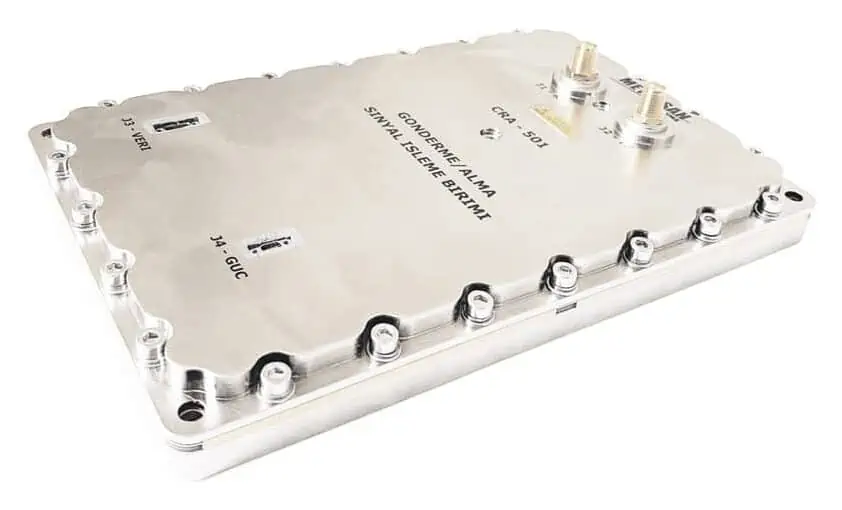
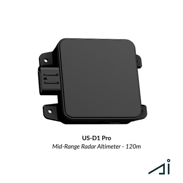
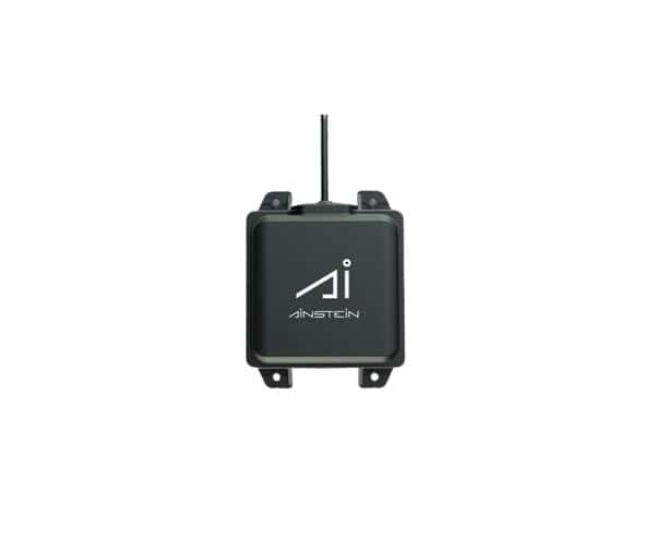
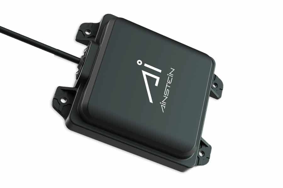
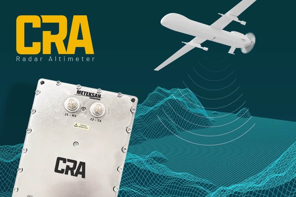
CRA Radar Altimeter by Meteksan
Radar altimeters designed for UAVs (unmanned aerial vehicles) may be lightweight and compact in order to provide minimal impact upon the aircraft’s SWaP (size, weight and power) footprint. They may be compatible with a variety of different flight controllers, and communicate via interfaces such as CAN, UART or RS232/422 serial.
They devices that measure the altitude above the current terrain directly below their position, making them different to other devices that report altitude relative to other references such as mean sea level (MSL). They are commonly used by UAVs and drones, particularly in areas where detailed DEMs (digital elevation models) or other terrain data are incomplete or unavailable.
Radar altimetry uses pulses of radio waves that are transmitted downwards and reflected back to the device. The time taken for the reflection to be received is measured, and this is used along with the known speed of electromagnetic waves to calculate distance.
Radar altimeters provide a number of advantages over other technologies such as LiDAR or laser altimeters and vision-based technologies. They can perform under conditions such as heavy rain, fog, and smoke and under all illumination conditions without suffering any loss in effectiveness. They are also better suited to environments with tree canopies and heavy vegetation. Unlike LiDAR pulses which are easily absorbed by water, radar waves are heavily reflected, making radar altimeters more suitable for drones flying over lakes, rivers, maritime environments and large bodies of water.
Drone altimeters are used for a range of different applications. They may assist in precision takeoff and landing, particularly for autonomous systems. They can be used for terrain-following, and as a safety measure as part of a ground proximity warning system. Unmanned helicopters and multirotor drones may use UAV altimeters to enable fixed-height hovering. Military drones may also use them to maintain an altitude that is very close to the ground, in order to escape detection by enemy radar and weapons systems.

 Searching Companies & Products


 Subscribe to the Weekly eBrief
The latest engineering and technical developments straight to your inbox - join thousands of engineers who receive it.
Subscribe to the Weekly eBrief
The latest engineering and technical developments straight to your inbox - join thousands of engineers who receive it.