


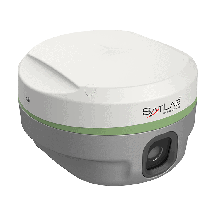
The Eyr is an advanced RTK-capable GNSS receiver featuring two built-in HD cameras for data gathering at a distance, making it ideal for building elevation surveys and applications in dangerous or difficult-to-reach areas. The 5-megapixel rearview camera captures precise coordinates at ranges of 2-15 metres, while the 2-megapixel camera on the underside enables AR live-view stakeout.
The integrated multi-protocol radio transceiver is compatible with multiple sources of RTK data, and provides a typical operating range of 7km outdoors. Eyr's state-of-the-art hardware enables stronger tracking of GNSS satellites, as well as enhanced anti-jamming and interference suppression capabilities.
Eyr also includes an advanced IMU module that allows the base station to be tilted at up to 60 degrees with an error of less than 2.5 cm.
| Dimensions (D x H) | 130 x 79 mm |
| Weight | 0.97 kg |
| Hi-Fix |
H: RTK+10mm / minute RMS V: RTK+20mm / minute RMS |
| Image Stakeout Accuracy | 2cm |
| Image Survey Accuracy | 2 – 4 cm |
| Tilt Survey Accuracy | 8mm+0.7mm/°tilt |


