RTKdata
Verified companies work with us to ensure we display the most up-to-date and comprehensive product information, articles and other material to help you choose the right solution for your requirements.


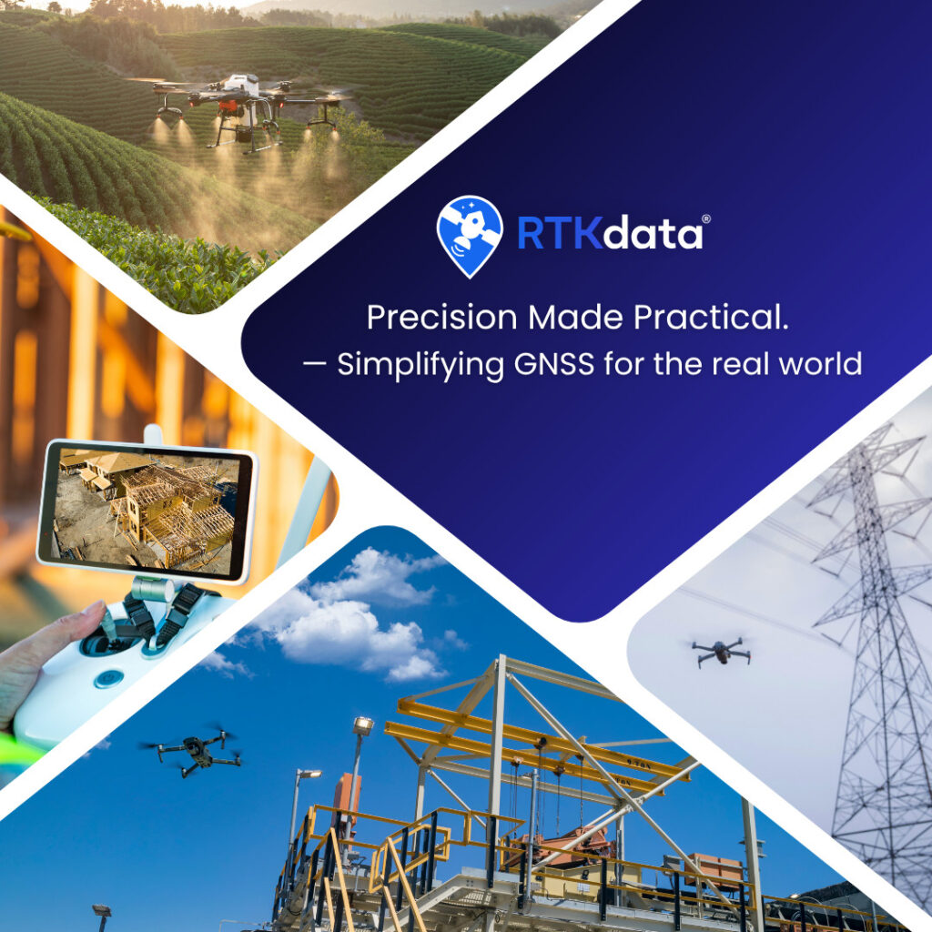
Centimeter-Level Positioning and RTK Corrections for UAVs, Robotics and GNSS Systems

RTKdata provides reliable centimeter-level corrections through one global NTRIP service, helping positioning-dependent systems achieve survey-grade accuracy without complex setup.
Customers can quickly connect compatible GNSS receivers using standard NTRIP settings and deploy across drones, robots, autonomous platforms, LiDAR systems, surveying equipment, and other field hardware.

Support professional positioning workflows where accuracy, repeatability, and uptime matter,

Connect across multiple regions without managing separate correction-network agreements in each market.

Connect compatible GNSS receivers, drones, rovers, robots, and custom systems using standard NTRIP settings.

Designed for fleets, OEM deployments, resellers, integrators, and multi-site operations.
RTKdata is used in drone mapping, surveying, agriculture, and autonomous positioning workflows where reliable RTK access improves field productivity and reduces setup complexity

AeroAg used RTKdata NTRIP corrections to support drone operations across South Dakota, Minnesota, and North Dakota, helping keep agricultural mapping workflows running after costly RTK provider downtime.

DRONEWERX used RTKdata in Southern Nevada to reduce field overhead and deliver repeatable centimeter-level mapping results without relying on GCPs or a local base station.

ADVOLARE SkyView used RTKdata’s NTRIP corrections for DJI Matrice 4T and 4DT missions in the Swiss Alps, achieving centimeter-accurate drone surveying while replacing more expensive regional network options.
RTKdata supports professional GNSS workflows across UAV operations, surveying, agriculture, construction, robotics, transportation, and environmental monitoring.

Ensure stable UAV flight paths, precision drone mapping, and autonomous navigation with RTKData’s centimeter-accurate positioning.

RTKdata delivers precise RTK corrections for boundary surveys, cadastral mapping, and topographic measurements, ensuring reliable positioning anywhere.

We deliver real-time corrections for fleet tracking, road mapping, and railway alignment, ensuring high-precision RTK positioning for transportation and mobility.

Achieve sub-2 cm accuracy for site layouts, machine control, and infrastructure projects with RTKData’s real-time RTK GNSS corrections.

RTKdata ensures precise positioning for fiber optics, power grids, and underground pipeline installations, reducing errors and rework.

Support climate studies, geological mapping, and ecosystem monitoring with RTKdata’s reliable centimeter-accurate RTK corrections.

Optimize auto-steering, drone spraying, and precision planting using RTKdata’s real-time RTK corrections for high-efficiency farming.

Support outdoor AGV navigation and precision robotics in open industrial settings with RTKdata’s cm RTK corrections.
RTKdata aggregates multiple RTK correction networks to provide coverage in more than 140 countries through 20,000+ base stations, without the need to negotiate separate local CORS agreements.
The service works with any NTRIP-capable GNSS receiver and is compatible with hardware from manufacturers such as DJI, Autel, Freefly, Skydio, as well as custom GNSS-enabled systems.
| 140+ countries with RTK correction coverage |
20,000+ base stations across aggregated networks |

With a single NTRIP integration, OEMs and hardware manufacturers can offer RTK access across multiple regions and support international customer deployments.
RTKdata supports partners who want to offer RTK corrections under their own brand while maintaining the customer relationship.
RTKdata is designed for professional GNSS workflows that require reliable, low-latency correction delivery. Typical RTK performance depends on receiver, sky-view, network, and baseline conditions.
RTKdata NTRIP RTK corrects GNSS signal errors to improve positioning accuracy from several meters to a few centimeters.

Read more: What is NTRIP RTK?
Evaluate RTK corrections before purchasing, check coverage for your operating regions, or contact RTKdata to discuss OEM, reseller, and system-integration partnerships.

 Searching Companies & Products

 Subscribe to the Weekly eBrief
The latest engineering and technical developments straight to your inbox - join thousands of engineers who receive it.
Subscribe to the Weekly eBrief
The latest engineering and technical developments straight to your inbox - join thousands of engineers who receive it.