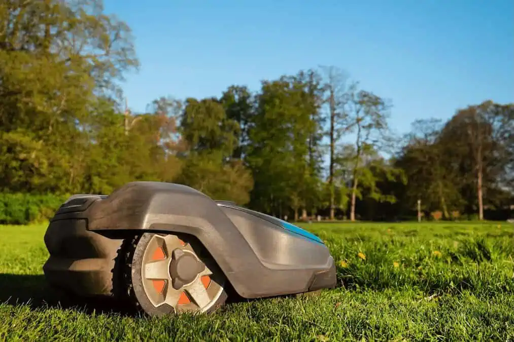
RTKdata provides RTK for robotics through open-standard NTRIP GNSS corrections, supporting Autonomous Ground Vehicles (AGVs), Unmanned Ground Vehicles (UGVs), robotic mowers, and other autonomous platforms with centimeter-level positioning. Read more >>
Precise localization is critical for autonomous systems, and RTK GNSS enables accurate navigation, geofencing, and repeatable routes.
By streaming NTRIP corrections into a GNSS receiver and fusing them with Inertial Measurement Unit (IMU) and odometry data, robots achieve stable behavior without the need for local base infrastructure. This allows teams to validate performance on checkpoints, start pilot programs faster, and scale from prototypes to full fleets quickly.
RTKdata’s service offers 1-2 cm accuracy, a high-quality, resilient network with over 20,000 RTK stations in 140+ countries, and is compatible with ROS and Autoware. Centimeter-level localization ensures consistent routes and reliable autonomous behavior.
RTK for Robotics eliminates the need for a base station, reducing setup time and complexity, while generating auditable logs to verify positional accuracy for missions and safety cases.
Proven use cases include outdoor navigation and patrols, geofencing and keep-out zones, inspection and mapping robots, and campus or yard logistics. By fusing NTRIP RTK with inertial sensors, robots can follow stable and repeatable paths, maintain accurate boundaries, and execute precise waypoints and docking maneuvers.
Users must select a subscription plan, including a 30-day free trial, enter the provided NTRIP credentials into the GNSS device, and verify that the rover or machine controller shows a FIX signal before beginning operations.
Find out more information, start a free trial and contact the RTKdata team here >>