Inertial Navigation Systems, INS/GPS, AHRS, and IMU Sensors for Unmanned Systems

United States of America
SBG Systems

Inertial Navigation Systems, INS/GPS, AHRS, and IMU Sensors for Unmanned Systems

ELLIPSE-N GNSS Inertial Navigation System
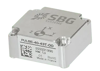
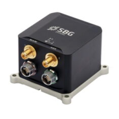
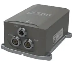
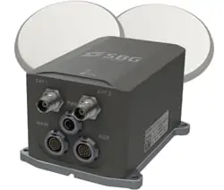
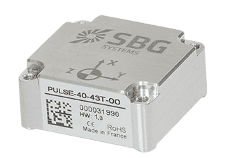
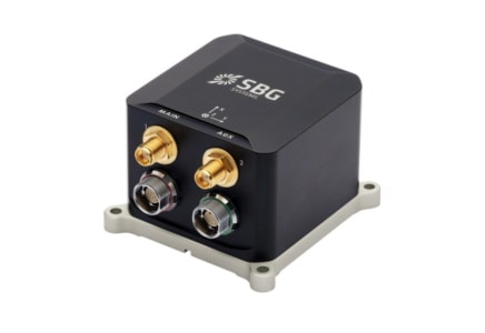
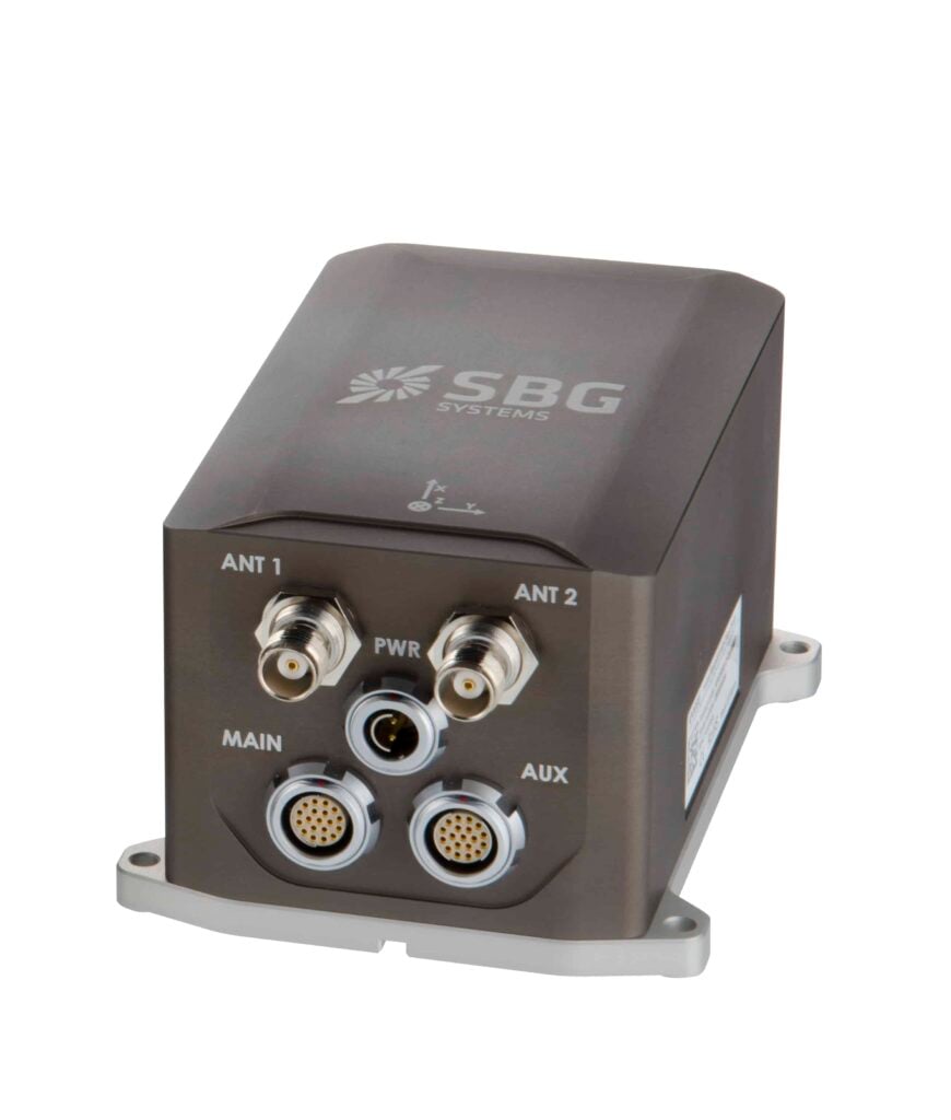
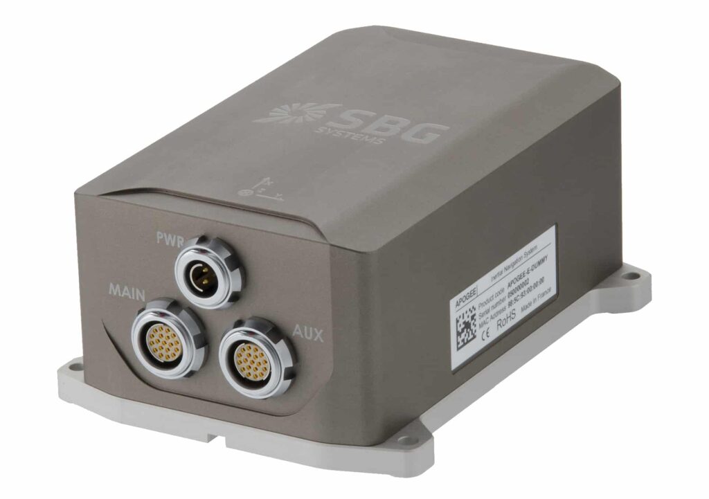
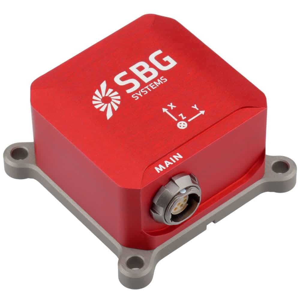
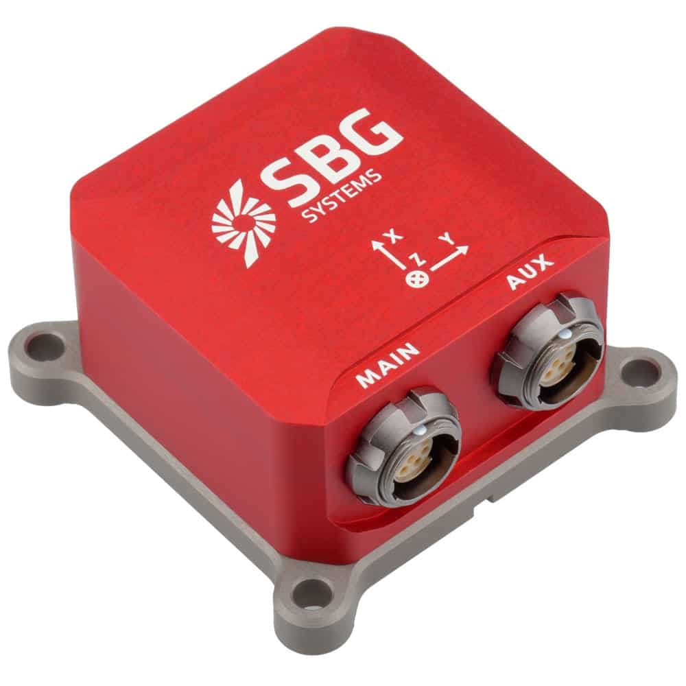
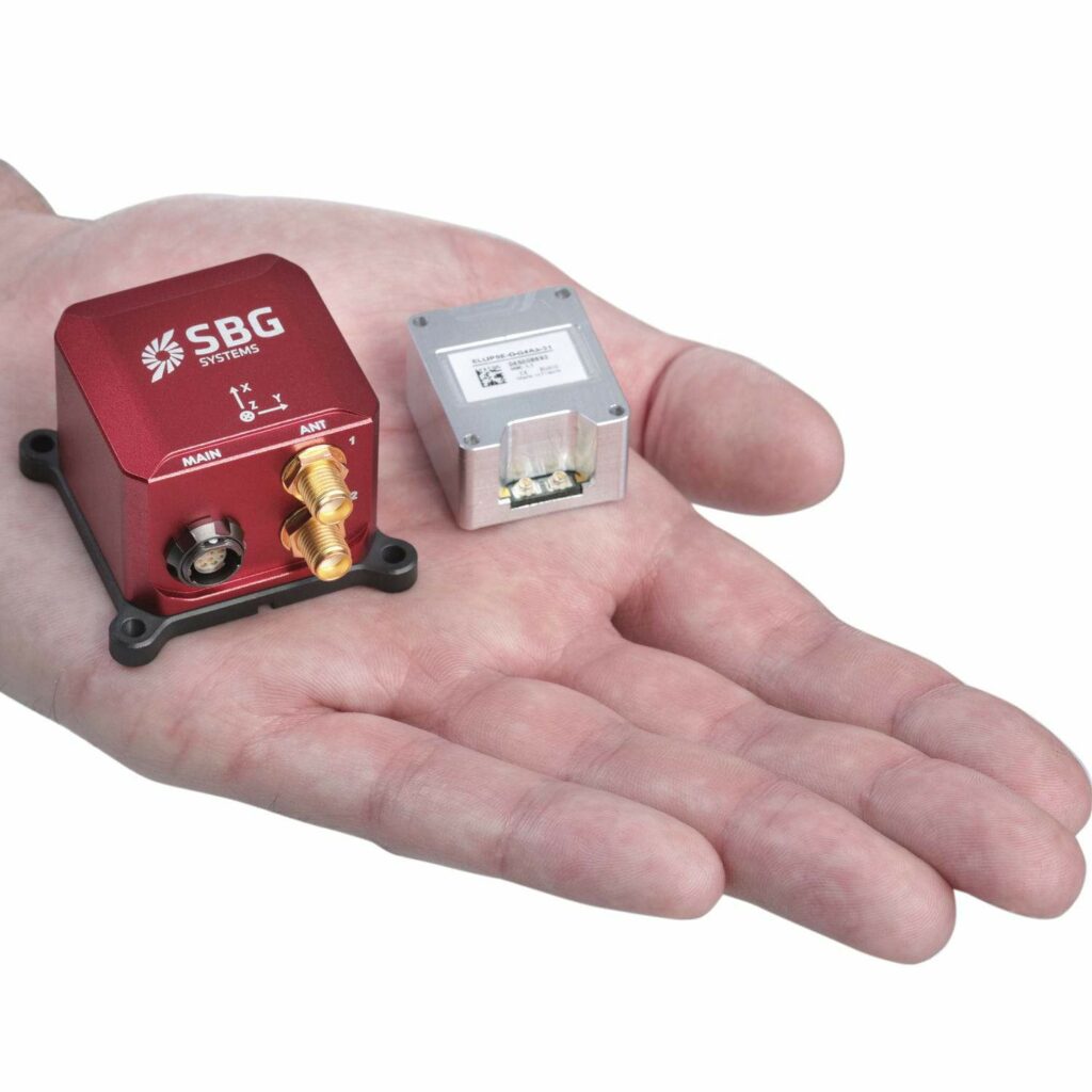
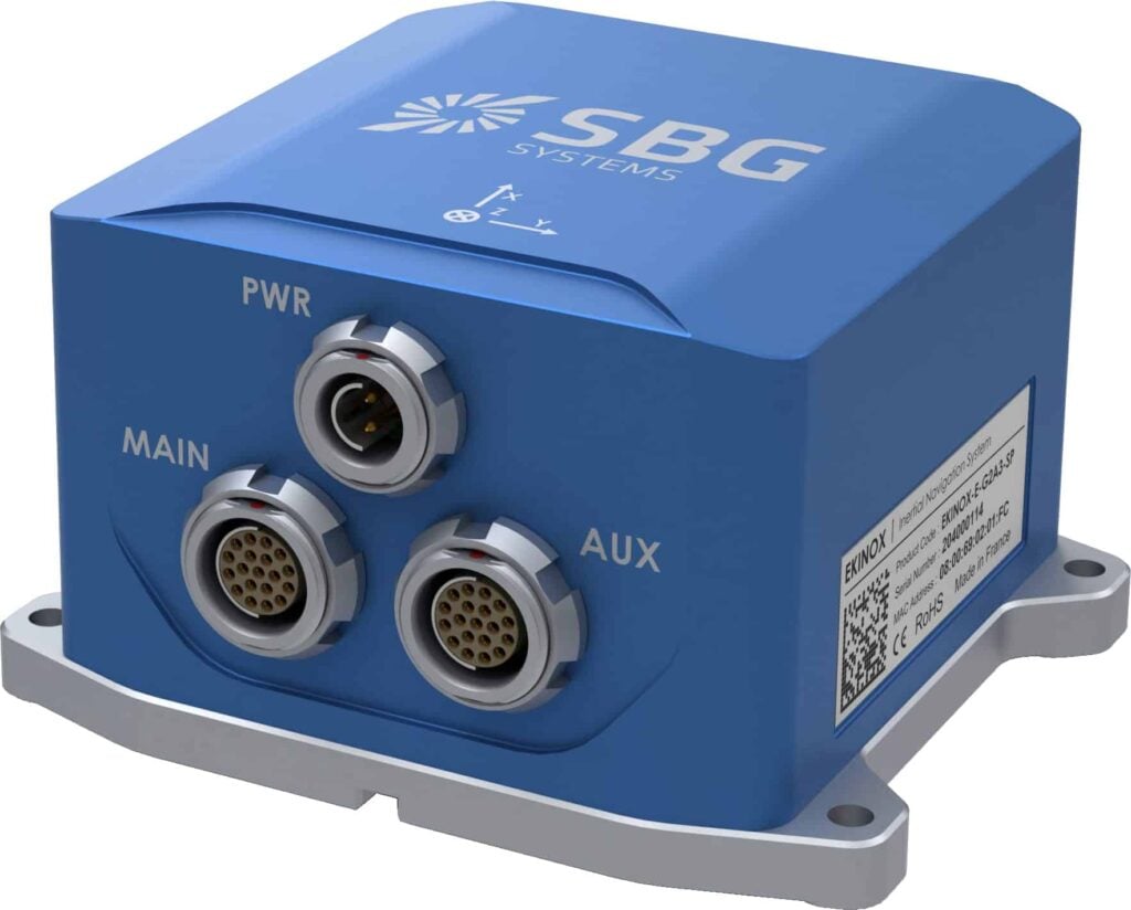
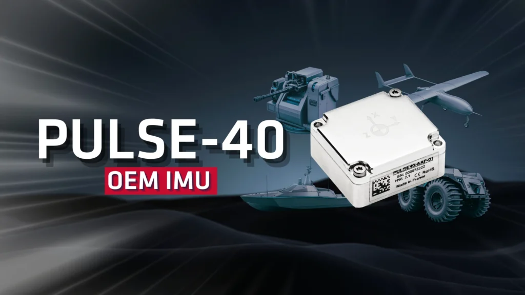
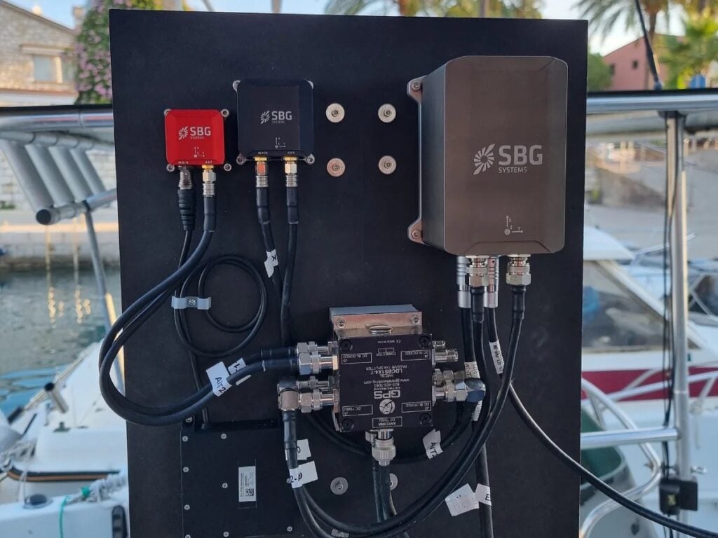
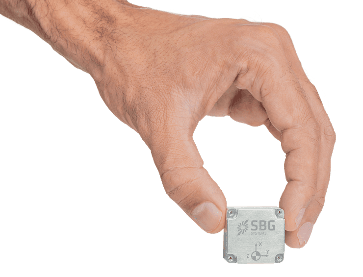
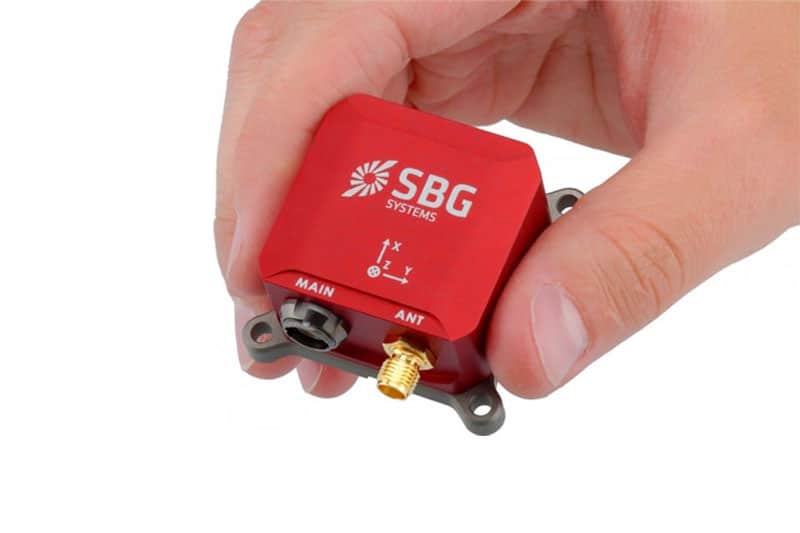
SBG SYSTEMS is a leading supplier of MEMS-based ITAR Free inertial motion sensing solutions. From miniature inertial navigation systems to high accuracy INS GPS, SBG SYSTEMS sensors offer a unique balance of price – size – performance for unmanned systems navigation.

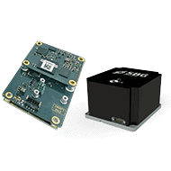
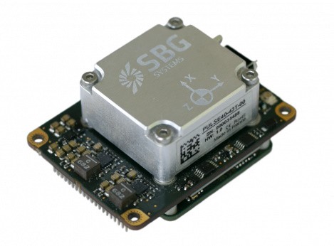
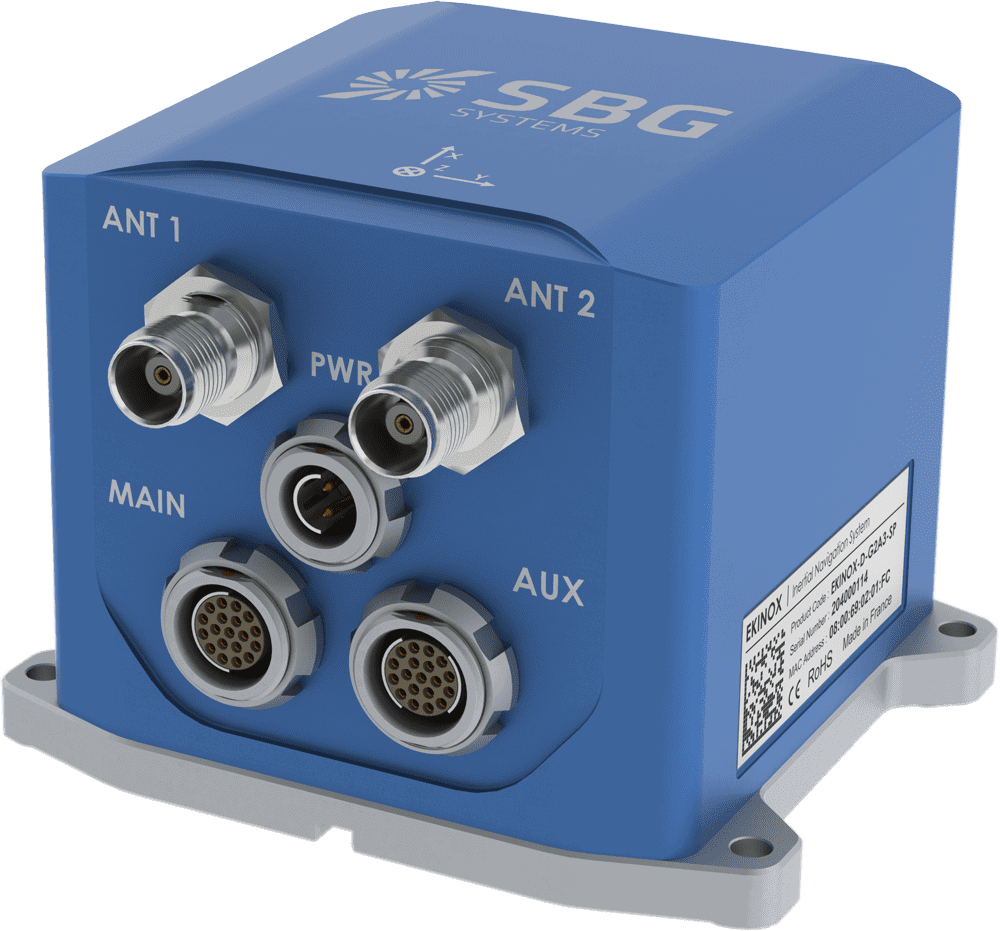
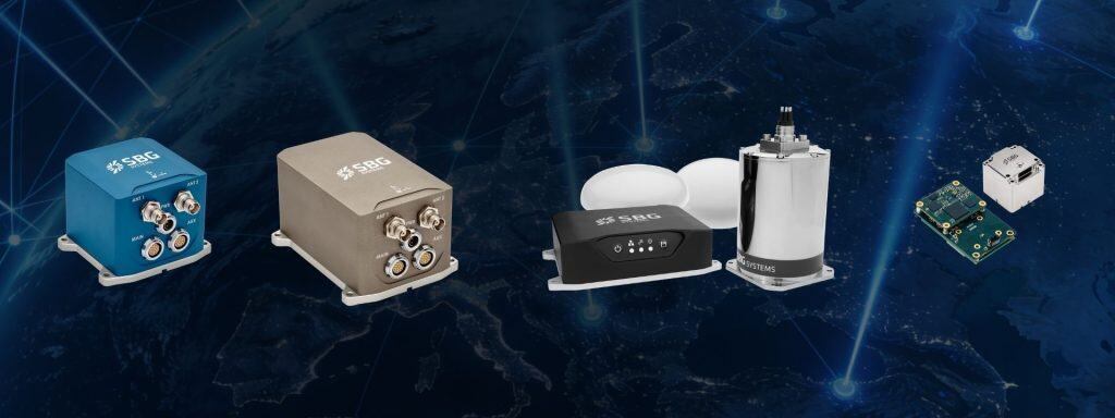
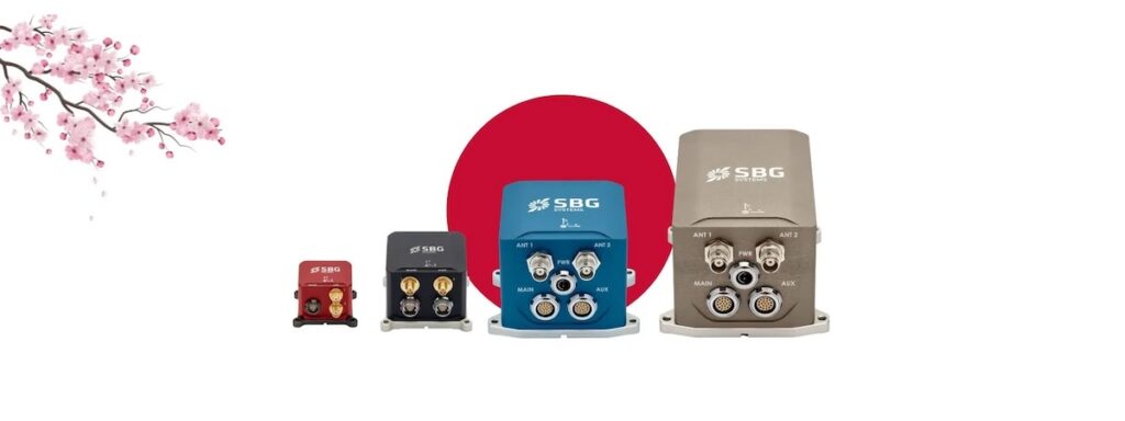
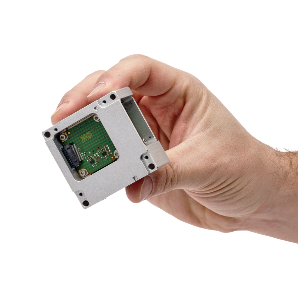
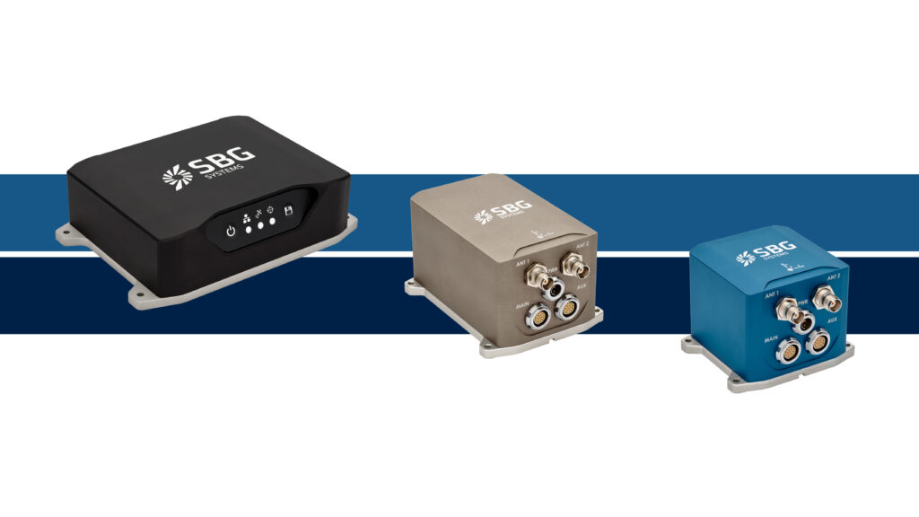
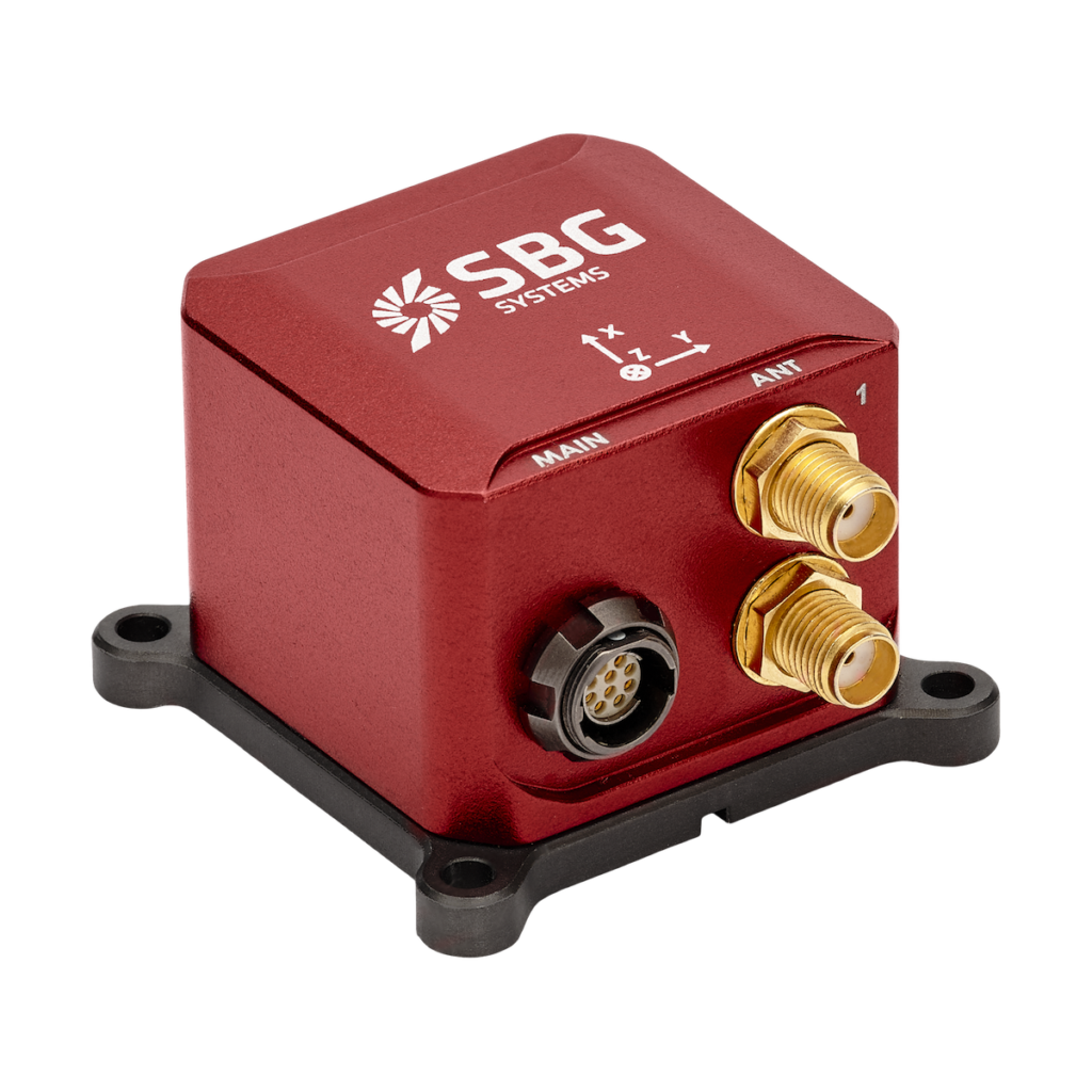
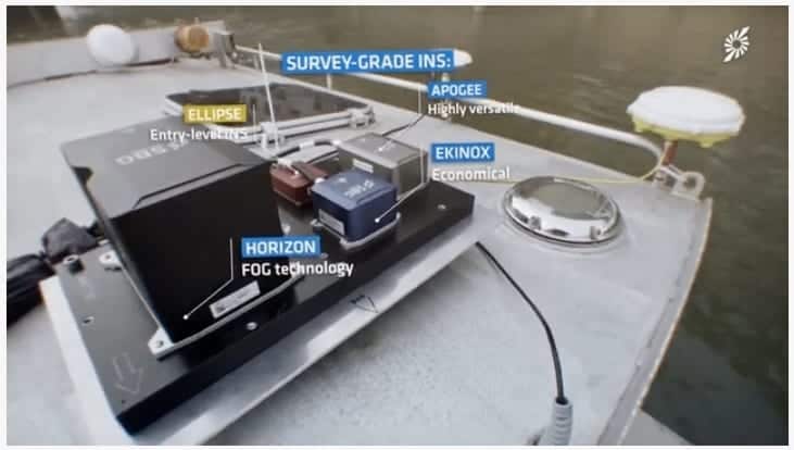
SBG Systems offers a complete line of inertial sensors based on the state-of-the-art MEMS technology, such as Attitude and Heading Reference System (AHRS), Inertial Measurement Unit (IMU), and embedded GPS Inertial Navigation System (INS/GPS). Combined with cutting-edge calibration techniques and advanced embedded algorithms, our inertial sensors are ideal solutions for unmanned vehicle control, antenna tracking, camera stabilization, and surveying applications.

Micro Inertial Navigation Systems

Ellipse 2 Micro Series – IMU, AHRS, INS

Smallest Size High-Performance IMU, AHRS and INS for Unmanned Applications

Ellipse Micro UAV INSHigh accuracy (0.1° Roll/Pitch) industrial grade micro inertial sensors with the smallest form factor:

  • Extremely light weight at 10 grams
  • Industrial grade high-end gyroscopes and accelerometers
  • Extended calibration, from -40 to +85°C for constant behaviour in a wide range of environments
  • Fusion with GNSS receiver for robust and accurate position, heave and heading output
  • Specific motion algorithms fine-tuned for land systems such as UGVs and autonomous driving
  • Cost-effective – designed for volume projects.
Ellipse 2 Micro INS for UAVs Ellipse 2 Micro INS for UAVs  Ellipse 2 Micro INS for UAVs
Model Ellipse2 Micro IMU Ellipse2 Micro AHRS Ellipse2 Micro INS
Calibrated IMU data ✔️ ✔️ ✔️
Roll, Pitch, Heading X ✔️ ✔️
Heave X ✔️ ✔️
Navigation X X ✔️ Connection to external GNSS & Odometer

More Information: Ellipse 2 Micro IMU, AHRS, INS

Miniature Inertial Navigation Systems

Ellipse Series – Industrial-Grade Inertial Sensors

Robust, high-performance inertial sensors for small unmanned systems

ELLIPSE-N GNSS Inertial Navigation System3rd Generation, ITAR-free miniature inertial sensors with an extremely rugged design, cutting-edge sensors, and advanced algorithms:

  • 0.05° RMS accuracy
  • Very Low Noise Gyroscopes
  • Embedded 64Bit microprocessor
  • Integrated GPS + GLONASS/BEIDOU receiver
  • Accepts DGPS corrections and Odometer inputs
  • High-level algorithms for vibrations and magnetic disturbances handling.
Ellipse-A AHRS Motion Sensor Ellipse-E Inertial Navigation System Ellipse-N Inertial Navigation System Ellipse-D Dual Antenna GNSS/INS
Model Ellipse-A
Orientation + Heave Motion Sensor
Ellipse-E
INS with your own external GNSS receiver
Ellipse-N
Single Antenna RTK INS with integrated GNSS receiver
Ellipse-D
Dual Antenna RTK INS with integrated GNSS receiver
Roll and Pitch 0.1°over 360° 0.05° RTK 0.05° RTK 0.05° RTK
Heading 0.8° Heading (Internal Magnetometers) Magnetic or GNSS Heading 0.2° Heading (RTK high dynamics) 0.2° Heading (Dual Antenna RTK GNSS)
Heave 5 cm Real-time Heave 5 cm Real-time Heave 5 cm Real-time Heave 5 cm Real-time Heave
Navigation X Navigation with external GNSS receiver L1/L2 GNSS receiver
1 cm RTK GNSS Accuracy
 L1/L2 GNSS receiver
1 cm RTK GNSS Accuracy
Post-Processing X ✔️ ✔️ ✔️

Quanta UAV Series

High-accuracy INS/GNSS for UAV-based Surveying Solutions

Quanta UAV Series INS-GNSS

The Quanta series is a high-accuracy GNSS-aided Inertial Navigation System designed for UAV and land-based surveying solutions.

  • Lightweight and low-power
  • Extended Kalman Filter fuses inertial and GNSS data for the highest performance in the most challenging conditions
  • Direct geotagging of point cloud in real time for more accuracy in post-processing
  • Direct georeferencing eliminates need for ground control points and reduces need for overlapping
  • Also ideal as a high-end navigation solution for UAV autopilots.

More Information: Quanta UAV Series INS/GNSS

Tactical-Grade IMU

Pulse-40

Miniature tactical-grade 6 DoF IMU for UAVs & unmanned systems

Pulse-40_IMU_SensorThe Pulse-40 is a tactical-grade inertial measurement unit designed to provide robust high-precision stabilization and navigation under even the harshest of conditions. Incorporating state-of-the-art MEMS three-axis accelerometers and gyroscopes in a unique redundant design, it features extremely low VRE (Vibration Rectification Error), and is ideal for high frequency dynamics and high-vibration environments.

pulse-40 tactical inertial measurement unitWeighing just 12 grams and drawing 0.3W, the Pulse-40’s extremely low SWaP footprint makes it ideal for a variety of drones and robotic platforms. The unit features redundant sensor integration and embedded Continuous Built-In-Test, providing the utmost in data reliability for critical applications.

Main Features:

  • Best SWaP-C: 12 grams, 0.3W Power consumption
  • Ultra-Low Noise Gyro (0.08°/√h) and excellent Gyro Bias Instability (0.8°/h)
  • High-precision Accelerometers (6µg)
  • Low Vibration Rectification Error: Shocks and vibrations MIL-STD 810 qualified
  • High Bandwidth (480Hz) and High data rate (2KHz)
  • Highly Tested and Calibrated from -40°C to 85°C
  • No export restrictions

More Information: Pulse-40 Tactical-Grade IMU

Mid Accuracy Small INS

Ekinox Series

Mid Accuracy AHRS and INS/GNSS for High Performance Unmanned Systems

Ekinox-N INS GPS Mid accuracy (0.02° attitude) in a cost-effective and compact package:

  • Fusion with Odometer, GNSS and DVL for the best accuracy
  • Internal L1/L2 Survey-grade GNSS receiver
  • Low latency, high output rate for demanding applications
  • Post-processing feature for Surveying applications
  • Motion profiles tuned for UAVs, UGVs, and UUVs specific dynamics
Ekinox-E Externally Aided Inertial Navigation System Ekinox-E Externally Aided Inertial Navigation System Ekinox-D Dual GPS INS Ekinox Micro GNSS-INS
Model Ekinox-A Ekinox-E Ekinox-D Ekinox-Micro
Roll, Pitch, Heading ✔️ ✔️ ✔️ ✔️
Heave ✔️ ✔️ ✔️ ✔️
Navigation X ✔️ Connection to external GPS ✔️ Integrated dual-antenna GNSS receiver ✔️ Integrated dual-antenna GNSS receiver

High Accuracy INS

Apogee Series

High-accuracy AHRS and INS/GNSS for Survey Unmanned Systems

SBG Systems Apogee-NThe Highest accuracy (0.005° orientation) in a cost-effective, small INS package:

  • Fusion with Odometer, GNSS and DVL for the best accuracy
  • Internal L1/L2/L5 Survey-grade GNSS receiver
  • Low latency, high output rate for demanding applications
  • Post-processing software for Surveying applications
  • Motion profiles tuned for UAVs, UGVs, and UUVs specific dynamics

Apogee-A High Accuracy Motion Sensor Apogee-E Versatile Inertial Navigation System Apogee-D Inertial Navigation System
Model Apogee-A Apogee-E Apogee-D
Roll, Pitch, Heading ✔️ ✔️ ✔️
Heave ✔️ ✔️ ✔️
Navigation X ✔️ Connection to external GPS, odometer etc ✔️ Integrated dual-antenna GNSS receiver

More Information: Apogee High Performance INS 

Post-Processing Software

Qinertia

INS/GNSS post-processing software

Qinertia is our next-generation GNSS/INS post-processing software, with access to offline, always up-to-date RTK corrections from more than 7,000 base stations located in 164 countries.Qinertia inertial navigation system

Designed to support all GNSS receivers and third-party IMUs, it features an advanced proprietary tight coupling algorithm designed to deliver the highest accuracy and maximize RTK availability.

The software also features Virtual Base Station (VBS) functionality, creating a virtual network around your project and providing centimetre-level accuracy even for corridor mapping, locations far from base stations, and in poorly covered RTK areas.

Qinertia is available in four different tiers:

  • Qinertia Pro – full-featured GNSS/INS post-processing solution supporting all SBG sensors and third-party IMUs
  • Qinertia Lite – economical solution for UAV and land-based projects, supporting all SBG sensors
  • Qinertia UAV – designed for UAV-based surveying and photogrammetry applications
  • Qinertia GNSS – static and kinematic GNSS data processing only, supporting any receiver

More Information: Qinertia INS/GNSS post-processing software

SBG Systems Support Center

SBG Systems’ Support Center

We are very proud to present our new platform which aims to make your integration phase even easier.

The Support Center is the place where you will find all resources related to SBG inertial sensors, such as the getting started process, user manuals, firmware, but also FAQs, and tutorials.

Consult the Knowledge area and learn about inertial and GNSS technologies!

Products

Qinertia Post-Processing Software

SBG Systems’ in-house INS/GNSS post-processing software

Quanta Extra GNSS-INS

The most accurate INS/GNSS system for demanding survey applications

Quanta Plus GNSS-INS

GNSS-aided Inertial Navigation System designed for UAV and land-based surveying solutions

Quanta Micro IMU

High performance IMU in an extremely compact form factor

Pulse-40 IMU

Miniature tactical-grade 6 DoF IMU for UAVs & unmanned systems

Ekinox Micro GNSS/INS

Compact high-performance GNSS-aided INS for drones & robotics

Ellipse 2 Micro IMU

Calibrated IMU data

Ellipse 2 Micro AHRS

Motion and Heave Sensor

Ellipse 2 Micro INS

High-accuracy and smallest industrial-grade INS

Apogee-D INS/GNSS

High performance and high accuracy Inertial Navigation System

Apogee-E INS

Highly versatile Inertial Navigation System

Apogee-A MRU

High Accuracy MEMS MRU for unmanned systems

Ellipse-A AHRS

Miniature AHRS in rugged enclosure for drones and robotics

Ellipse-E Miniature Inertial Navigation System

Miniature INS with external GNSS receiver connectivity for UAVs and robotics

Ellipse-N GNSS/INS

Single-antenna GNSS-INS in rugged compact package for drones and unmanned systems

Ellipse-D Dual Antenna GNSS/INS

Dual antenna survey-grade GNSS-INS with RTK in rugged enclosure for UAVs and unmanned systems

Ekinox-A AHRS/MRU

Advanced tactical-grade MEMS AHRS/MRU for UAVs and unmanned systems

Ekinox-E GNSS/INS

Externally-aided tactical-grade MEMS INS for UAVs and unmanned systems

Ekinox-D GNSS/INS

Advanced inertial navigation system with integrated RTK GNSS for drones and robotics

Articles

Latest
Jan De Nul Selects SBG’s MRU for Marine Operations

Jan De Nul integrated SBG Systems' Navsight-Apogee into its survey vessel for bathymetric applications for reliable data in harsh conditions and enhanced positioning

Jun 10, 2024
SBG Systems and Mastering GNSS Accuracy

In SBG Systems’ first article of its Mastering Accuracy series, the company explores the stand-alone accuracies of Global Navigation Satellites Systems, taking into account the various errors

Apr 04, 2024
Quanta Micro INS Selected for Latest LiDAR Surveying Solutions

The Quanta Micro INS by SBG Systems, is at the heart of YellowScan’s new Surveyor Ultra and Explorer LiDAR mapping solutions

Oct 12, 2023
New Miniature GNSS-INS for Mission-Critical Applications

The tactical-grade Ekinox Micro is RTK-compatible and features robust GNSS anti-jamming and spoofing

May 08, 2023
Case Study: SBG INS Chosen for Bathymetry Fleet

SBG Systems discusses the application of Apogee Grade INS on French National Hydrographic & Oceanographic Office survey vessels

Apr 18, 2023
New Tactical-Grade OEM GNSS-Aided Inertial Navigation System

Quanta Plus combines a tactical-grade MEMS IMU with a high-performance GNSS receiver in a compact form factor

Feb 03, 2023
SBG Systems Tests Quanta Micro INS in Real World Environments

SBG Systems assessed the performance of its Quanta Micro GNSS-aided INS in various automotive and GNSS environments, from open sky...

Jan 20, 2023
Miniature GNSS-INS for UAV Payloads

The RTK-capable Quanta Micro weighs just 38g and features less than 0.02° roll/pitch error and less than 0.06° heading error

Oct 06, 2022
SBG Systems Launches SWaP-Optimized Quanta Micro INS

The Quanta Micro is a GNSS-aided INS that offers a unique combination of navigation performance and SWaP-C, leveraging on a survey grade IMU for optimal heading performance in all applications

Jun 14, 2022
Miniature Tactical Grade IMU Introduced

SBG Systems has introduced the Pulse-40 IMU (Inertial Measurement Unit), a tactical-grade IMU designed for high performance in harsh conditions, but...

Feb 08, 2022
SBG Systems Updates INS Firmware

SBG Systems has released a major firmware update for all its high-performance Inertial Navigation Systems (INS), including Ekinox, Apogee, Navsight,...

Dec 14, 2021
Qinertia Post-Processing Software Enhances GNSS-INS Receivers

SBG Systems’ Qinertia post-processing software is now being offered by Septentrio with its AsteRx-i3 D Pro+, AsteRx-i3 S Pro+ and...

Sep 28, 2021
SBG Systems INS Integrated into Survey USV

SBG Systems’ Navsight Apogee Marine GNSS-aided INS (inertial navigation system) has been selected for incorporation into an unmanned surface vessel...

Mar 08, 2021
SBG Systems INS Integrated with UAV SATCOM Terminal

SBG Systems’ Ellipse-D GNSS-aided INS (inertial navigation system) has been integrated with Cobham’s Aviator UAV 200 terminal and compatibility between...

Feb 11, 2021
Virtual Base Station Feature Released for GNSS & INS Post-Processing Software

SBG Systems has released a Virtual Base Station feature for its Qinertia post-processing software. Qinertia provides access to offline RTK...

Oct 26, 2020
GNSS-Aided INS Integrated into Autonomous Tractor

SBG Systems’ Ellipse2-D dual-antenna GNSS-aided INS (Inertial Navigation System) has been integrated into a self-driving tractor developed by South Korean...

Oct 05, 2020
SBG Systems Releases Firmware Upgrade for Inertial Sensors

SBG Systems has released firmware updates for the company’s Ellipse, Ekinox and Apogee inertial systems, its Navsight motion and navigation...

Sep 26, 2020
GNSS-Aided INS Integrated into Autonomous Hydrographic USV

SBG Systems’ Ekinox2-D dual-antenna GNSS-aided INS (Inertial Navigation System) has been integrated into Poland’s first autonomous hydrographic USV (unmanned surface...

Aug 25, 2020
SBG Systems Unveils Upgraded Ellipse Series Inertial Sensors

SBG Systems has released the third generation of the company’s Ellipse Series of miniature inertial sensors, comprising four models: the...

Jun 23, 2020
Qinertia PPK Software Adds 3rd-Party IMU & GNSS Support

SBG Systems has updated its INS (inertial navigation system) and GNSS PPK post-processing software to support third-party IMUs (inertial measurement...

May 07, 2020
SBG Inertial Navigation System Selected for Survey USV

SBG Systems has announced that its Ekinox2-D dual antenna GNSS-aided inertial navigation system (GNSS-INS) has been selected by geoscientific solutions...

Feb 14, 2020
SBG Systems Opens New Singapore Subsidiary

SBG Systems, a developer of MEMS-based inertial measurement units (IMUs) and inertial navigation systems (INS) for drones and unmanned systems,...

Feb 13, 2020
Firmware Upgrade Released for Ellipse Inertial Sensors

SBG Systems has announced the release of version 1.7 of the firmware for its Ellipse and Ellipse Micro series of...

Sep 30, 2019
New INS/GNSS Developed for UAV Surveying Applications

SBG Systems has announced the Quanta UAV Series, a new line of Inertial Navigation Systems (INS) designed for system integrators...

Apr 17, 2019
SBG Launches FOG IMU for Surveying and Autonomous Driving

SBG Systems has announced the release of the Horizon IMU, a FOG-based high-performance inertial measurement unit designed for demanding surveying...

Feb 04, 2019
SBG Systems Releases INS for Marine Surveying

SBG Systems has announced the release of its new Navsight Marine Solution, a full high performance inertial navigation solution designed...

Mar 13, 2018
SBG Systems Introduces Micro Inertial Sensor Range

SBG Systems has announced the release of the Ellipse 2 Micro Series, a new product range of reduced size and...

Feb 13, 2018

Videos

Regional Offices & Locations
SBG Systems North America, Inc. United States of America 2901 W. MacArthur Blvd Suite #202 Santa Ana, CA 92704 United States +1 (657) 845-1771 Contact Website