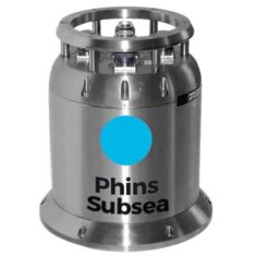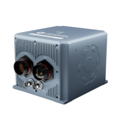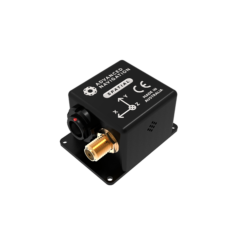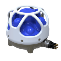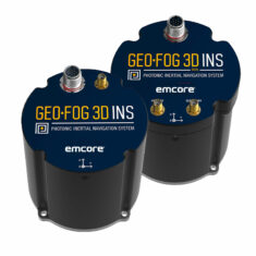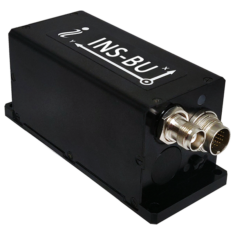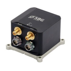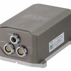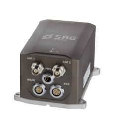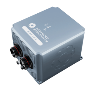
Advanced Navigation Boreas D90 FOG INS for Marine & Subsea applications
Marine INS (inertial navigation systems) provide essential position, orientation and velocity data for marine and maritime unmanned systems such as UUVs (unmanned underwater vehicles), AUVs (autonomous underwater vehicles), ROVs (remotely operated vehicles) and USVs (unmanned surface vessels). Once initialised, they are able to do this without requiring an external reference.
Maritime Inertial Measurement Units
The core of the marine INS is the IMU (inertial measurement unit). This is made up of accelerometers, gyroscopes, and depending on the system, magnetometers. Multiple-axis IMUs will have multiples of each sensor – a three-axis IMU will have three of each mounted orthogonally to each other. Depending on the size, cost and performance requirements, IMUs may use MEMS (micro-electromechanical system), FOG (fiber optic gyro) or RLG (ring laser gyro)-based sensors.
The IMU outputs angular rate, acceleration and magnetic measurements. These need to be further processed in order to obtain position, orientation and velocity, and so an INS will combine the IMU with some kind of computing capability.
Autonomous Surface & Underwater Navigation
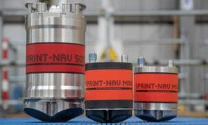
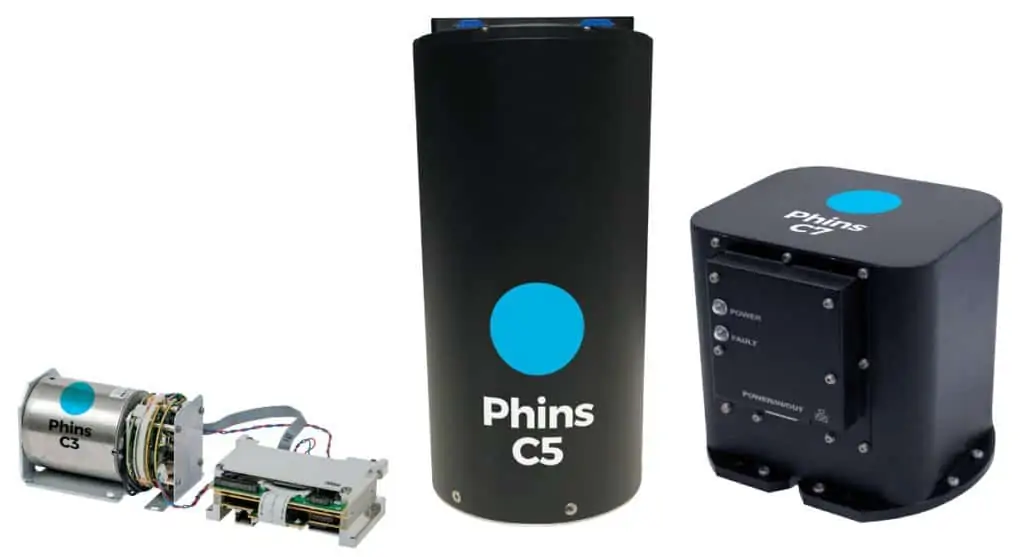
SPRINT-Nav Subsea Navigation Sensors by Sonardyne
Autonomous surface and underwater navigation requires highly accurate heading, roll, pitch, velocity and position information, and so marine INS are crucial for such applications. They are also ideal for station-keeping and stabilization in rough waters for USVs and UUVs, and also allow ROV operators to know if their vehicle is well-positioned.
GNSS & Acoustic Data Aided INS
Small errors in inertial sensor measurements can compound over time to create significant drift. For systems operating on the surface of the water, INS performance can be increased by combining the data with the output from a GNSS receiver. These GNSS-aided INS use sensor fusion to combine the two sources of data and improve the position, orientation and velocity estimates.
GNSS signals cannot penetrate underwater, but AUV and ROV inertial performance can similarly be enhanced by combining the INS with a source of acoustic data such as a USBL (ultra-short baseline), LBL (long baseline) or DVL (Doppler velocity log) sensor.
Marine INS will typically be rated for immersion in water as well as resistance to salt corrosion, and systems designed for underwater use will also be pressure-rated to a particular depth.
