


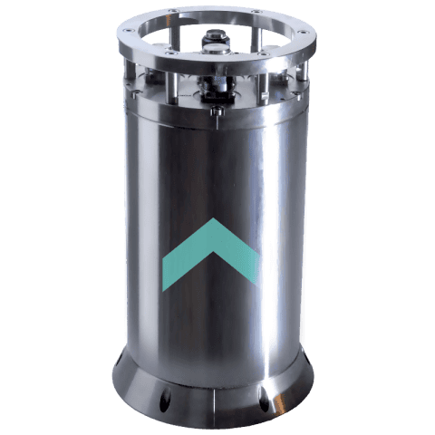
Rovins is a Fiber Optic Gyroscope (FOG)-based Inertial Navigation System (INS) engineered for subsea vehicles operating in demanding offshore environments. Developed for survey and construction activities at depths reaching 3,000 meters, the system delivers continuous, georeferenced position, heading, and attitude data at high update rates. Its integrated architecture combines advanced strap-down FOG sensing with a refined Kalman filtering approach, enabling dependable navigation performance across complex mission profiles where accuracy and consistency are critical.
Designed for flexibility, Rovins INS supports a wide range of interfacing options, including DVL, USBL, LBL, GPS, and depth sensors, and is available as a standalone solution or in a DVL-ready configuration. The system’s scalable design accommodates varied deployment scenarios while maintaining low maintenance requirements and operational reliability. With sub-metric positioning capability using sparse array techniques and precise image georeferencing support, Rovins enhances subsea vehicle efficiency across applications such as ROV positioning, multibeam sonar operations, out-of-straightness measurement, and subsea construction workflows.
Specifications:
| Heading accuracy: | 0.07 |
| DVL-aided on 1km long straight line (%TD – CEP50): | 0.1 |
| Roll & Pitch accuracy: | 0.01 |
| Weight in water (kg): | 6.2 |
| Depth rating (m): | 3,000 |


