


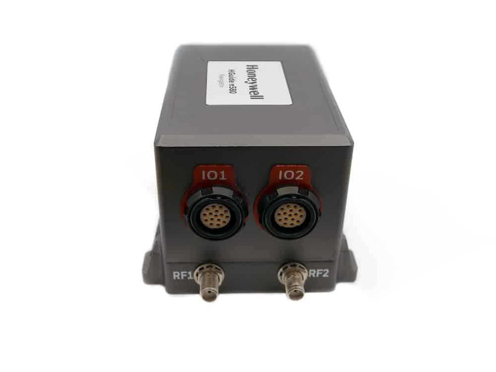
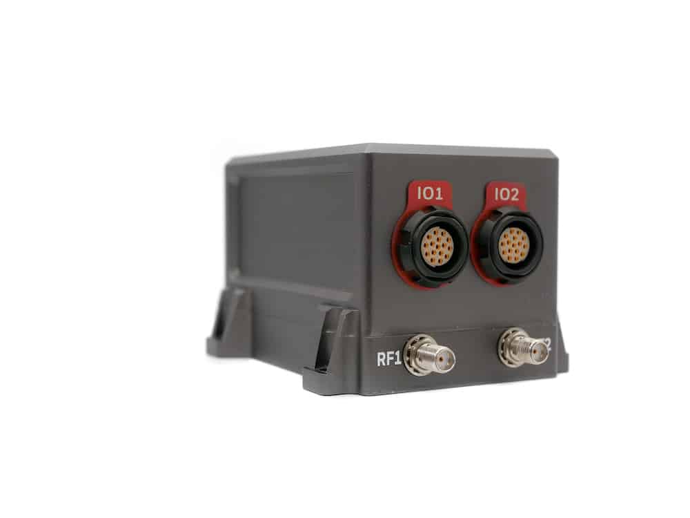
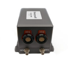
The HGuide n580 is a compact and lightweight self-contained GNSS-aided INS incorporating a dual-antenna triple-frequency multi-constellation RTK GNSS receiver and the cutting-edge Honeywell Aerospace HG4930 IMU. The versatile sensor provides robust continuous navigation capabilities and can be interfaced with a wide variety of external aiding sources to improve performance under GNSS-denied conditions even further.
The rugged sensor includes an onboard NTRIP client that accepts RTCM3 GNSS correction data, and also utilizes specific algorithms developed for aerial, land and marine applications. Output data includes timestamped position, velocity, angular rate, linear acceleration, roll, pitch, and heading information.
Specifications:
| Dimensions | 9 x 6 x 6 cm |
| Weight | <500 g |
| Power | 9 - 36VDC, 7.5W typical |
| GNSS Signals |
GPS L1/L2/L5 GLONASS G1/G2/G3/P1/P2 BeiDou Phase 2&3 B1/B2/B3 Galileo E1/E5a/E5b/E6 NavIC (IRNSS) L5 QZSS L1/L2/L5 |
| Position Performance (1σ) |
H: <0.01m RTK, <0.4 m SBAS V: <0.025m RTK, <0.4 m SBAS |
| Velocity Performance (1σ) |
H: <0.015m V: <0.01 m |
| Heading Performance (1σ) | 0.03° |
GNSS Outage Performance (RTK Dual Antenna):
| RMS Error | 3 Seconds | 10 Seconds | 30 Seconds | 60 Seconds |
| Horizontal (m) | 0.08 | 0.10 | 1.0 | 3.5 |
| Vertical (m) | 0.05 | 0.10 | 0.30 | 0.70 |
| Heading (°) | 0.01 | 0.03 | 0.04 | 0.05 |
| Horizontal Velocity (m/s) | 0.02 | 0.04 | 0.06 | 0.15 |
| Vertical Velocity (m/s) | <0.01 | 0.01 | 0.02 | 0.03 |


