


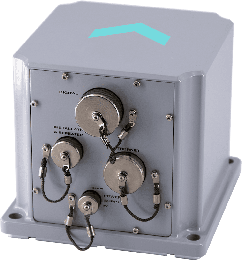
Hydrins is a navigation-grade Inertial Navigation System (INS) based on Fiber-Optic Gyroscope (FOG) technology, designed to deliver precise positioning and motion data for hydrographic survey and marine engineering tasks. Compact and lightweight, the system provides real-time outputs including position, heading, roll, pitch, speed, and full motion reference data such as heave, surge, and sway. Its strapdown architecture and embedded processing enable accurate direct georeferencing, supporting high-resolution seabed mapping and survey efficiency even in challenging GNSS conditions.
Engineered for seamless integration, Hydrins supports single-antenna GNSS configurations and offers advanced handling of signal outages and multipath interference. The system features low-latency data output for real-time control, alongside onboard logging and a web-based interface for configuration and monitoring. With compatibility across GNSS receivers, versatile I/O options, and post-processing support via dedicated software, it ensures consistent data quality across survey workflows. Certified to maritime standards and designed for continuous operation, Hydrins delivers reliable performance for applications including bathymetric survey, port maintenance, offshore construction, and platform stabilization.
Specifications:
| Gyrocompass capability: | Yes |
| Heading accuracy with GNSS: | 0.01° RMS |
| Smart Heave: | 2% RMS / 2 cm |
| Pure intertial drift 1mn RTK 0.3m: | 0.5 Nm/h |
| Drift without aiding for 1/2/5 min: | 0.8 m / 3.2 m / 20 m CEP 50 |


