Phoenix LiDAR, a leading developer of survey-grade aerial LiDAR systems for UAVs (unmanned aerial vehicles) and unmanned systems, has partnered with Unmanned Systems Technology (“UST”) to demonstrate their expertise in this field. The ‘Gold’ profile highlights how the company’s versatile laser scanning solutions are ideal for a wide range of platforms, including fixed-wing and multirotor drones, USVs (unmanned surface vessels) and land-based mobile mapping vehicles.
 Phoenix’ airborne LiDAR solutions take advantage of state-of-the-art laser mapping technology that allows users to acquire high-resolution survey-grade data in real time, covering large areas faster and with more consistency than traditional terrestrial or mobile mapping methods.
All products are integrated to meet individual requirements for accuracy, environment, budget and overall capability. Imaging options include hi-res photo, thermal, hyperspectral sensing and more, as well as optional GNSS reference stations, a laptop-based ground control station (GCS), and other accessories. Every LiDAR system is thoroughly and expertly tested to ensure that it is properly calibrated and ready to fly out of the box.
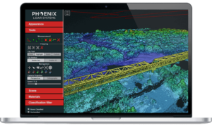
 Phoenix also offers a cloud-based LiDAR post-processing software platform that automates the post-processing workflow, allowing users to save time and focus on your business goals and growth.
LiDARMill provides an intuitive dashboard that allows users to view data, track project status, and invite clients to inspect point clouds. The versatile software can be scaled to the needs of any size organization, from small survey teams to large government departments.
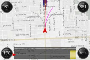
 MissionGuidance provides real-time guidance for manned LiDAR data acquisition operators that improves accuracy and closes the gap in data quality between manned aircraft and UAVs, reducing gaps and repeated flights.
The software visualises pre-defined flight plans to the pilot relative to the aircraft’s current position, allowing real-time adjustments to be made and ensuring all data collection passes are made within tolerance.
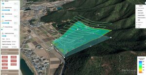
 FlightPlanner is a free web-based service, offered to all Phoenix clients, that allows UAV LiDAR operators to precisely plan missions and experiment with different parameters before flying.
The intuitive interface allows users to select areas of interest, input a variety of flight parameters such as altitude and velocity and see how they will affect the mission, and export a KMZ file directly to the drone.
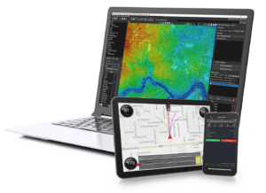
 SpatialExplorer is a comprehensive software suite that provides everything required to collect and process LiDAR data, streamlining acquisition, geo-referencing, data fusion and exporting.
Capabilities include:
- Sensor configuration and custom profile creation to ensure repeatability
- Real-time point cloud and detailed navigation feedback for instantaneous data quality control in the field
- Cloud and local GNSS/INS trajectory post-processing options
- Trajectory optimization and boresight computation for accurate point cloud calibration
- Fully automated project and processing reports
To find out more about Phoenix LiDAR and their survey-grade aerial LiDAR systems for UAVs and unmanned systems, please visit their profile page: https://www.unmannedsystemstechnology.com/company/phoenix-lidar/


