


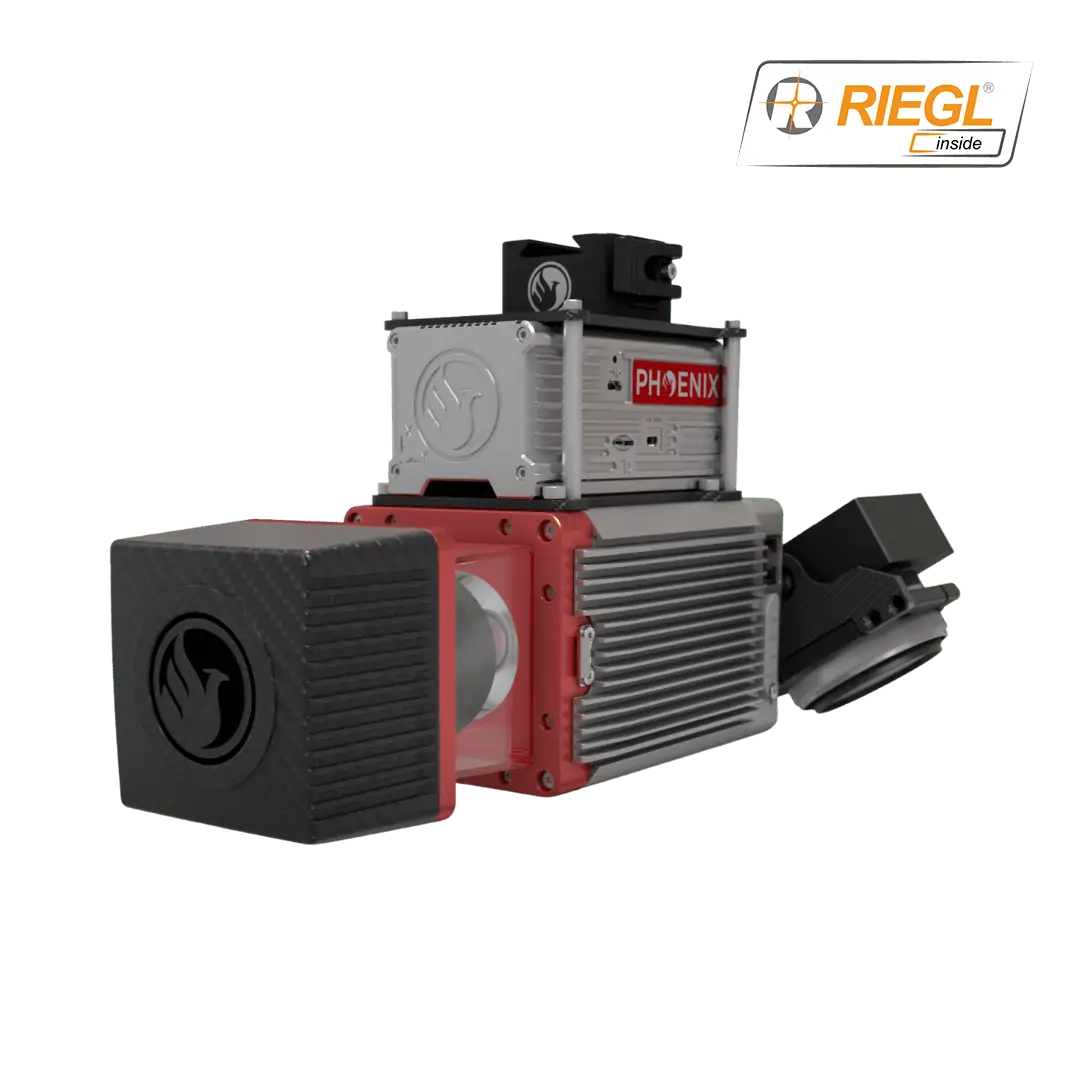
miniRanger-3 Lite – survey-grade LiDAR
The miniRanger-3 Lite provides survey-grade LiDAR data and optional high-resolution imagery for a wide range of applications. The ultra-lightweight package can be mounted on mid-size multirotor drones, as well as mobile mapping and backpack systems.
The miniRanger-3 Lite includes Phoenix LiDAR’s AIR NavBox, a lightweight rover that allows configuration of heavier payloads for the DJI M600 series and integration of the highest resolution cameras on the market.
- Weight: 2.2 kg
- Dimensions: 243 x 111 x 85 mm
- Absolute Accuracy: 20-30 mm RMSE @ 75 m Range
- Max Range: 150 m
- Max Scan Rate: 300k points per second


